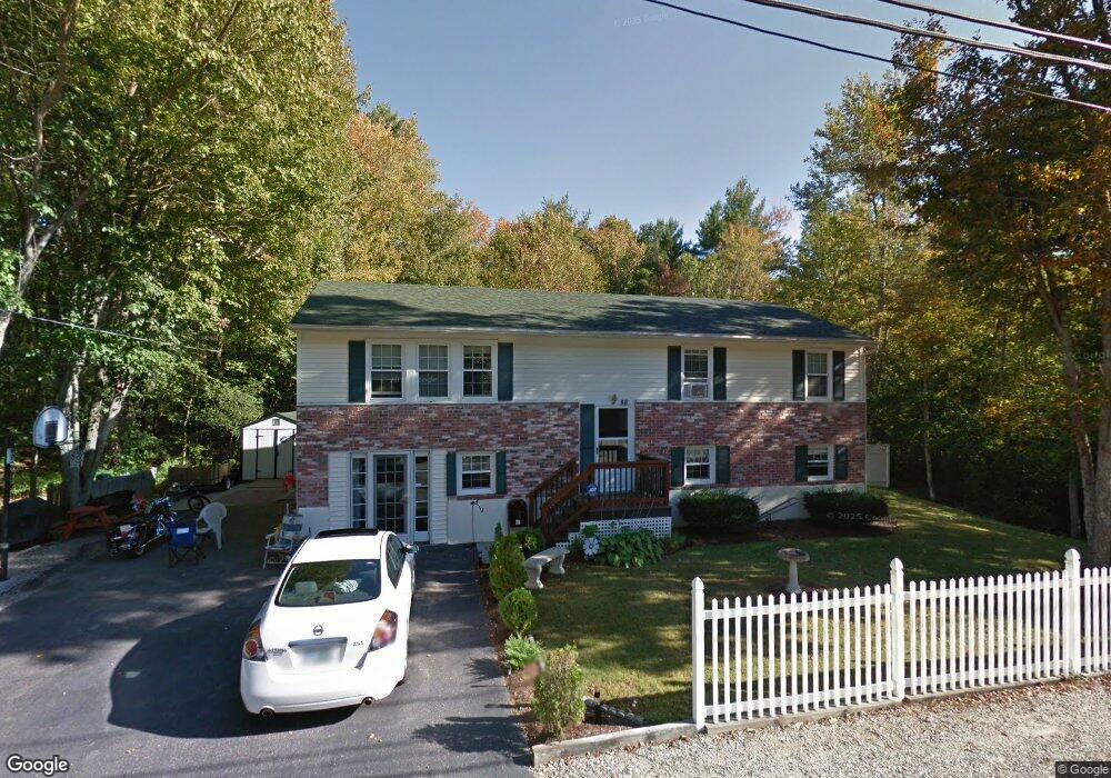
88 Maple St Somersworth, NH 03878
Estimated Value: $428,000 - $471,000
5
Beds
2
Baths
2,280
Sq Ft
$195/Sq Ft
Est. Value
About This Home
This home is located at 88 Maple St, Somersworth, NH 03878 and is currently estimated at $445,486, approximately $195 per square foot. 88 Maple St is a home with nearby schools including Maple Wood Elementary School, Somersworth High School, and Tri-City Christian Academy.
Ownership History
Date
Name
Owned For
Owner Type
Purchase Details
Closed on
Aug 29, 2017
Sold by
Soule Dennis H
Bought by
Soule Dennis H and Soule Lisa M
Current Estimated Value
Home Financials for this Owner
Home Financials are based on the most recent Mortgage that was taken out on this home.
Original Mortgage
$157,200
Outstanding Balance
$84,277
Interest Rate
4.03%
Mortgage Type
New Conventional
Estimated Equity
$361,209
Purchase Details
Closed on
Sep 5, 2001
Sold by
Bisson Rene B
Bought by
Soule Cary K and Soule Dennis H
Home Financials for this Owner
Home Financials are based on the most recent Mortgage that was taken out on this home.
Original Mortgage
$133,200
Interest Rate
7.05%
Create a Home Valuation Report for This Property
The Home Valuation Report is an in-depth analysis detailing your home's value as well as a comparison with similar homes in the area
Home Values in the Area
Average Home Value in this Area
Purchase History
| Date | Buyer | Sale Price | Title Company |
|---|---|---|---|
| Soule Dennis H | -- | -- | |
| Soule Dennis H | -- | -- | |
| Soule Cary K | $148,000 | -- | |
| Soule Cary K | $148,000 | -- |
Source: Public Records
Mortgage History
| Date | Status | Borrower | Loan Amount |
|---|---|---|---|
| Open | Soule Dennis H | $157,200 | |
| Closed | Soule Cary K | $157,200 | |
| Previous Owner | Soule Cary K | $133,200 |
Source: Public Records
Tax History Compared to Growth
Tax History
| Year | Tax Paid | Tax Assessment Tax Assessment Total Assessment is a certain percentage of the fair market value that is determined by local assessors to be the total taxable value of land and additions on the property. | Land | Improvement |
|---|---|---|---|---|
| 2024 | $7,439 | $397,800 | $127,000 | $270,800 |
| 2023 | $8,058 | $275,000 | $58,400 | $216,600 |
| 2022 | $7,725 | $275,000 | $58,400 | $216,600 |
| 2021 | $7,571 | $275,000 | $58,400 | $216,600 |
| 2020 | $7,659 | $275,000 | $58,400 | $216,600 |
| 2019 | $7,963 | $291,900 | $58,400 | $233,500 |
| 2018 | $6,358 | $190,300 | $75,100 | $115,200 |
| 2017 | $6,297 | $190,300 | $75,100 | $115,200 |
| 2016 | $6,116 | $190,400 | $75,100 | $115,300 |
| 2015 | $6,140 | $190,400 | $75,100 | $115,300 |
| 2014 | $5,929 | $190,400 | $75,100 | $115,300 |
Source: Public Records
Map
Nearby Homes
- 94 Maple St Unit A
- 23 Mount Vernon St
- 18 Grand St
- 24-26 Highland St
- 178 High St
- 11 Linden St
- 25 High St
- 1 Bridge St
- 35 Rochester St
- 37 Franklin St
- 19B Birch Hill Ln Unit 19B
- 105-107 Main St
- 29 Chadwick Ln
- 23A Birch Hill Ln Unit 23A
- 22A Birch Hill Ln Unit 22A
- 23B Birch Hill Ln Unit 23B
- 22B Birch Hill Ln Unit 22B
- 19A Birch Hill Ln Unit 19A
- 27B Birch Hill Ln Unit 27B
- 8 Myrtle St
- 81 Maple St
- 90 Maple St
- 85 Maple St
- 76 Maple St
- 77 Maple St
- 87 Maple St
- 92 Maple St
- 74 Maple St
- 75 Maple St
- 89 Maple St
- 73 Maple St
- 94 Maple #C Unit C
- 94 Maple #B Unit B
- 16 Ron Wyn Dr
- 94 Maple St Unit 94B
- 94 Maple St Unit 94A
- 94 Maple St Unit B
- 94 Maple St Unit F
- 94 Maple St Unit D
- 94 Maple St Unit C