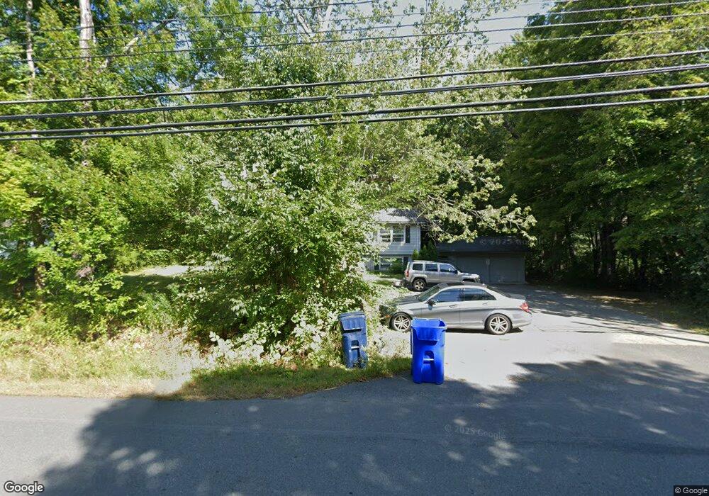
88 Pelham Rd Amherst, MA 01002
Estimated Value: $464,000 - $527,412
6
Beds
2
Baths
1,056
Sq Ft
$469/Sq Ft
Est. Value
About This Home
This home is located at 88 Pelham Rd, Amherst, MA 01002 and is currently estimated at $494,853, approximately $468 per square foot. 88 Pelham Rd is a home located in Hampshire County with nearby schools including Fort River Elementary School, Amherst Regional Middle School, and Amherst Regional High School.
Ownership History
Date
Name
Owned For
Owner Type
Purchase Details
Closed on
May 29, 2009
Sold by
Pich Sophan and Pech Sophan
Bought by
Onesta Prop Llc
Current Estimated Value
Home Financials for this Owner
Home Financials are based on the most recent Mortgage that was taken out on this home.
Original Mortgage
$32,000
Outstanding Balance
$20,327
Interest Rate
4.87%
Mortgage Type
Purchase Money Mortgage
Estimated Equity
$474,526
Purchase Details
Closed on
Apr 2, 1993
Sold by
Bou Saveth Leng
Bought by
Pech Sophan
Home Financials for this Owner
Home Financials are based on the most recent Mortgage that was taken out on this home.
Original Mortgage
$42,000
Interest Rate
7.6%
Mortgage Type
Purchase Money Mortgage
Create a Home Valuation Report for This Property
The Home Valuation Report is an in-depth analysis detailing your home's value as well as a comparison with similar homes in the area
Home Values in the Area
Average Home Value in this Area
Purchase History
| Date | Buyer | Sale Price | Title Company |
|---|---|---|---|
| Onesta Prop Llc | $320,000 | -- | |
| Pech Sophan | $102,000 | -- | |
| Pech Sophan | $102,000 | -- |
Source: Public Records
Mortgage History
| Date | Status | Borrower | Loan Amount |
|---|---|---|---|
| Open | Onesta Prop Llc | $32,000 | |
| Closed | Pech Sophan | $25,600 | |
| Previous Owner | Pech Sophan | $60,000 | |
| Previous Owner | Pech Sophan | $42,000 |
Source: Public Records
Tax History Compared to Growth
Tax History
| Year | Tax Paid | Tax Assessment Tax Assessment Total Assessment is a certain percentage of the fair market value that is determined by local assessors to be the total taxable value of land and additions on the property. | Land | Improvement |
|---|---|---|---|---|
| 2025 | $76 | $423,500 | $187,800 | $235,700 |
| 2024 | $7,397 | $399,600 | $177,200 | $222,400 |
| 2023 | $6,937 | $345,100 | $161,200 | $183,900 |
| 2022 | $6,609 | $310,700 | $146,500 | $164,200 |
| 2021 | $6,284 | $288,000 | $135,700 | $152,300 |
| 2020 | $6,140 | $288,000 | $135,700 | $152,300 |
| 2019 | $5,984 | $274,500 | $135,700 | $138,800 |
| 2018 | $5,803 | $274,500 | $135,700 | $138,800 |
| 2017 | $6,001 | $274,900 | $129,300 | $145,600 |
| 2016 | $5,833 | $274,900 | $129,300 | $145,600 |
| 2015 | $5,646 | $274,900 | $129,300 | $145,600 |
Source: Public Records
Map
Nearby Homes
- 0 Heatherstone Rd
- 265 Stanley St
- 14 Pebble Ridge Rd
- 9 Harkness Rd
- 305 Strong St
- 0 Red Gate Ln Unit 73348273
- 48 Gray St
- 61 S Valley Rd
- 161 Chestnut St
- 96 Logtown Rd
- 53 Pine Grove Unit 53
- 57 Tanglewood Rd
- 18 N Prospect St
- 65 N Prospect St
- 481 Old Farm Rd
- 41 Arnold Rd
- 11 Sheerman Ln
- 185 Cherry Ln
- 100 Larkspur Dr
- 130 Linden Ridge Rd