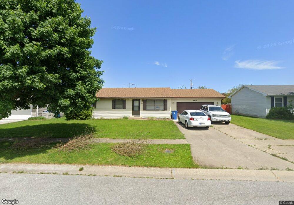
880 Apache Ln Lowell, IN 46356
West Creek NeighborhoodEstimated Value: $233,094 - $271,000
3
Beds
2
Baths
1,120
Sq Ft
$225/Sq Ft
Est. Value
About This Home
This home is located at 880 Apache Ln, Lowell, IN 46356 and is currently estimated at $252,524, approximately $225 per square foot. 880 Apache Ln is a home located in Lake County with nearby schools including Lowell Middle School and Lowell Senior High School.
Ownership History
Date
Name
Owned For
Owner Type
Purchase Details
Closed on
Nov 18, 2011
Sold by
Chopps Bonnie J and Estate Of Norma J Ford
Bought by
Ford Donald G
Current Estimated Value
Home Financials for this Owner
Home Financials are based on the most recent Mortgage that was taken out on this home.
Original Mortgage
$127,551
Outstanding Balance
$86,271
Interest Rate
4.08%
Mortgage Type
New Conventional
Estimated Equity
$166,253
Create a Home Valuation Report for This Property
The Home Valuation Report is an in-depth analysis detailing your home's value as well as a comparison with similar homes in the area
Home Values in the Area
Average Home Value in this Area
Purchase History
| Date | Buyer | Sale Price | Title Company |
|---|---|---|---|
| Ford Donald G | -- | Chicago Title Insurance Co |
Source: Public Records
Mortgage History
| Date | Status | Borrower | Loan Amount |
|---|---|---|---|
| Open | Ford Donald G | $127,551 |
Source: Public Records
Tax History
| Year | Tax Paid | Tax Assessment Tax Assessment Total Assessment is a certain percentage of the fair market value that is determined by local assessors to be the total taxable value of land and additions on the property. | Land | Improvement |
|---|---|---|---|---|
| 2025 | $1,695 | $189,900 | $35,700 | $154,200 |
| 2024 | $4,462 | $177,900 | $35,700 | $142,200 |
| 2023 | $1,517 | $169,600 | $35,700 | $133,900 |
| 2022 | $1,517 | $158,600 | $35,700 | $122,900 |
| 2021 | $1,408 | $148,000 | $31,000 | $117,000 |
| 2020 | $1,227 | $137,400 | $31,000 | $106,400 |
| 2019 | $1,264 | $130,100 | $31,000 | $99,100 |
| 2018 | $1,199 | $125,300 | $31,000 | $94,300 |
| 2017 | $1,397 | $132,500 | $31,000 | $101,500 |
| 2016 | $1,260 | $132,100 | $31,000 | $101,100 |
| 2014 | $1,225 | $129,700 | $31,000 | $98,700 |
| 2013 | $1,160 | $121,900 | $31,000 | $90,900 |
Source: Public Records
Map
Nearby Homes
- 822 Seminole Dr
- 872 Valley View Dr
- 615 Debra Kay Dr
- 631 Debra Kay Dr
- 715 Cheyenne Dr
- 654 Cheyenne Dr
- 617 Fawn Cir
- 17215 Adams Dr
- 115 N Nichols St
- The Sierra IIs Plan at Freedom Springs
- The Reynolds Plan at Freedom Springs
- The Phillips IV Plan at Freedom Springs
- The Ocean Springs Plan at Freedom Springs
- The Glendale Plan at Freedom Springs
- The Phillips II Plan at Freedom Springs
- The Cheyenne Plan at Freedom Springs
- The Parkwood Plan at Freedom Springs
- The Ashford P Plan at Freedom Springs
- The Amhurst III Plan at Freedom Springs
- The Westwood II Plan at Freedom Springs
- 864 Apache Ln
- 896 Apache Ln
- 821 Seminole Dr
- 817 Seminole Dr
- 848 Apache Ln
- 881 Apache Ln
- 825 Seminole Dr
- 813 Seminole Dr
- 897 Apache Ln
- 865 Apache Ln
- 829 Seminole Dr
- 832 Apache Ln
- 849 Apache Ln
- 809 Seminole Dr
- 816 Apache Ln
- 833 Seminole Dr
- 805 Seminole Dr
- 826 Seminole Dr
- 818 Seminole Dr
- 882 Cheyenne Dr
Your Personal Tour Guide
Ask me questions while you tour the home.