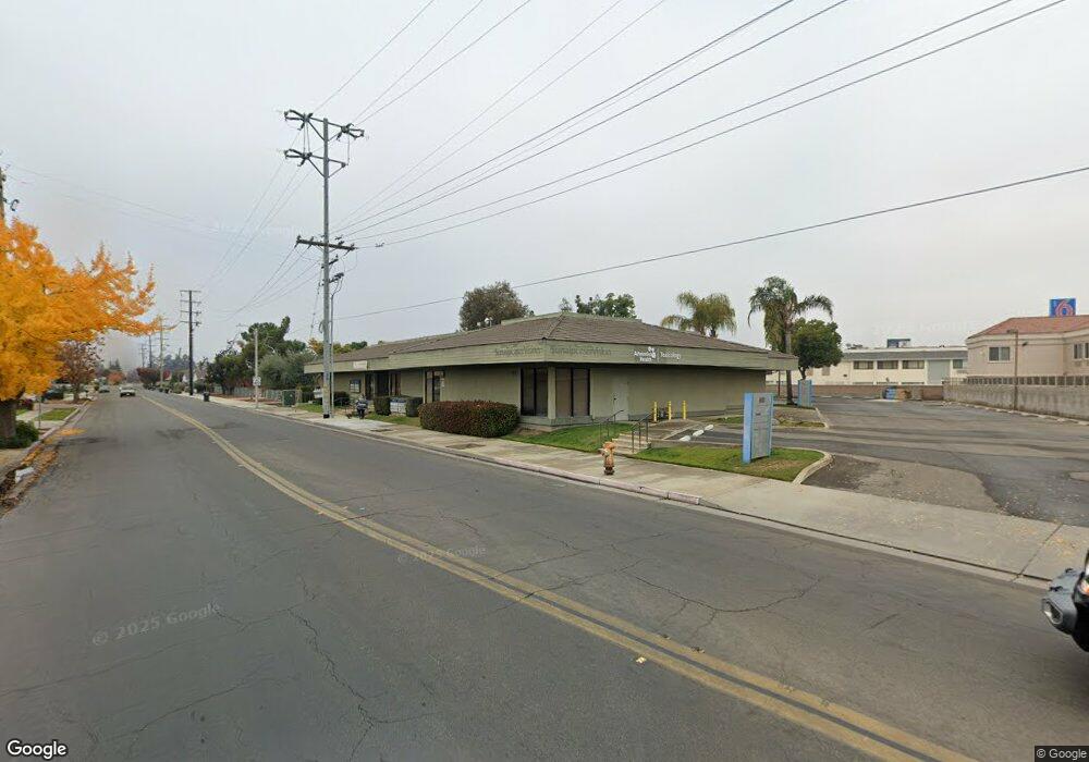
880 E Merritt Ave Tulare, CA 93274
Northeast Tulare NeighborhoodEstimated Value: $3,145,112
Studio
--
Bath
3,234
Sq Ft
$973/Sq Ft
Est. Value
About This Home
This home is located at 880 E Merritt Ave, Tulare, CA 93274 and is currently estimated at $3,145,112, approximately $972 per square foot. 880 E Merritt Ave is a home located in Tulare County with nearby schools including Garden Elementary School, Cherry Avenue Middle School, and Tulare Western High School.
Ownership History
Date
Name
Owned For
Owner Type
Purchase Details
Closed on
Dec 3, 2004
Sold by
Hopper Stephen A
Bought by
The Wallace A Hopper Family Lp
Current Estimated Value
Purchase Details
Closed on
Nov 23, 2004
Sold by
The Wallace A Hopper Family Lp
Bought by
Heiskell Ranches Lp
Create a Home Valuation Report for This Property
The Home Valuation Report is an in-depth analysis detailing your home's value as well as a comparison with similar homes in the area
Home Values in the Area
Average Home Value in this Area
Purchase History
| Date | Buyer | Sale Price | Title Company |
|---|---|---|---|
| The Wallace A Hopper Family Lp | -- | -- | |
| Heiskell Ranches Lp | $1,550,000 | Chicago Title Co | |
| Hopper Stephen Ames | -- | Chicago Title Co |
Source: Public Records
Tax History
| Year | Tax Paid | Tax Assessment Tax Assessment Total Assessment is a certain percentage of the fair market value that is determined by local assessors to be the total taxable value of land and additions on the property. | Land | Improvement |
|---|---|---|---|---|
| 2025 | $23,516 | $2,160,575 | $529,689 | $1,630,886 |
| 2024 | $23,516 | $2,118,211 | $519,303 | $1,598,908 |
| 2023 | $22,918 | $2,076,678 | $509,121 | $1,567,557 |
| 2022 | $22,249 | $2,035,960 | $499,139 | $1,536,821 |
| 2021 | $21,964 | $1,996,039 | $489,352 | $1,506,687 |
| 2020 | $22,332 | $1,975,572 | $484,334 | $1,491,238 |
| 2019 | $22,895 | $1,936,835 | $474,837 | $1,461,998 |
| 2018 | $22,526 | $1,898,857 | $465,526 | $1,433,331 |
| 2017 | $22,317 | $1,861,624 | $456,398 | $1,405,226 |
| 2016 | $21,341 | $1,825,122 | $447,449 | $1,377,673 |
| 2015 | $20,625 | $1,797,707 | $440,728 | $1,356,979 |
| 2014 | $20,625 | $1,762,493 | $432,095 | $1,330,398 |
Source: Public Records
Map
Nearby Homes
- 1150 E Ben Franklin Ave
- 1142 N Gem St
- 1240 Hillcrest Ave
- 1019 N Manor Dr
- 630 Auburn St
- 494 E Merritt Ave
- 1113 N Manor Dr
- 1563 E Glenwood Ave
- 624 North Place
- 1145 N M St
- 1352 N M St
- 1582 E Ben Franklin Ave
- 1128 N Jefferson St
- 273 E Gannon Dr
- 445 E Chevy Chase Dr
- 1049 Madrid Ave
- 1842 Berlin Ct
- 322 N Dayton St
- 947 Lisbon Ave
- 939 Lisbon Ave
- 880 E Merritt Ave Unit 109
- 880 E Merritt Ave Unit 106
- 880 E Merritt Ave Unit 101
- 1021 N Blackstone St
- 874 E Merritt Ave
- 874 E Merritt Ave
- 925 E Merritt Ave
- 951 E Merritt Ave
- 932 E Royal Ann Ave
- 871 E Merritt Ave
- 924 E Royal Ann Ave
- 940 E Royal Ann Ave
- 916 E Royal Ann Ave
- 870 E Merritt Ave
- 948 E Royal Ann Ave
- 908 E Royal Ann Ave
- 942 N Mahaleb St
- 860 E Merritt Ave
- 865 E Merritt Ave
- 980 E Pleasant Ave
Your Personal Tour Guide
Ask me questions while you tour the home.