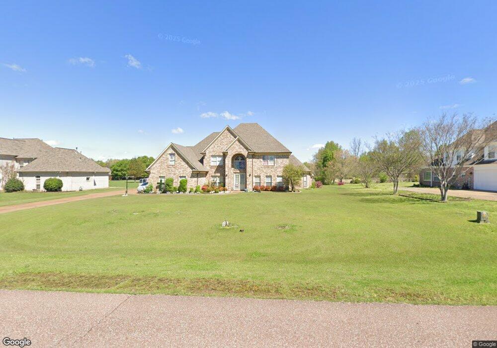
8810 Dehart Rd Olive Branch, MS 38654
Lewisburg NeighborhoodEstimated Value: $556,000 - $682,000
4
Beds
5
Baths
4,593
Sq Ft
$133/Sq Ft
Est. Value
About This Home
This home is located at 8810 Dehart Rd, Olive Branch, MS 38654 and is currently estimated at $609,088, approximately $132 per square foot. 8810 Dehart Rd is a home located in DeSoto County with nearby schools including Lewisburg Primary School, Lewisburg Elementary School, and Lewisburg Middle School.
Ownership History
Date
Name
Owned For
Owner Type
Purchase Details
Closed on
Sep 10, 2008
Sold by
Jones Minuse
Bought by
Bishop Steven L and Bishop Marsha R
Current Estimated Value
Home Financials for this Owner
Home Financials are based on the most recent Mortgage that was taken out on this home.
Original Mortgage
$336,800
Outstanding Balance
$220,932
Interest Rate
6.49%
Mortgage Type
Purchase Money Mortgage
Estimated Equity
$388,156
Create a Home Valuation Report for This Property
The Home Valuation Report is an in-depth analysis detailing your home's value as well as a comparison with similar homes in the area
Home Values in the Area
Average Home Value in this Area
Purchase History
| Date | Buyer | Sale Price | Title Company |
|---|---|---|---|
| Bishop Steven L | -- | None Available |
Source: Public Records
Mortgage History
| Date | Status | Borrower | Loan Amount |
|---|---|---|---|
| Open | Bishop Steven L | $336,800 |
Source: Public Records
Tax History Compared to Growth
Tax History
| Year | Tax Paid | Tax Assessment Tax Assessment Total Assessment is a certain percentage of the fair market value that is determined by local assessors to be the total taxable value of land and additions on the property. | Land | Improvement |
|---|---|---|---|---|
| 2025 | $6,499 | $47,615 | $6,000 | $41,615 |
| 2024 | $4,752 | $34,819 | $6,000 | $28,819 |
| 2023 | $4,752 | $34,819 | $0 | $0 |
| 2022 | $4,787 | $34,819 | $6,000 | $28,819 |
| 2021 | $4,787 | $34,819 | $6,000 | $28,819 |
| 2020 | $3,294 | $32,619 | $6,000 | $26,619 |
| 2019 | $3,294 | $32,619 | $6,000 | $26,619 |
| 2017 | $3,243 | $57,770 | $31,885 | $25,885 |
| 2016 | $3,243 | $31,885 | $6,000 | $25,885 |
| 2015 | $3,243 | $57,770 | $31,885 | $25,885 |
| 2014 | $3,243 | $31,885 | $0 | $0 |
| 2013 | $3,326 | $31,885 | $0 | $0 |
Source: Public Records
Map
Nearby Homes
- 3914 Saddle Bend
- 9112 Cedar Barn Cove
- 8465 Belmor Lakes Dr
- 9143 Apple Orchard Cove
- 9159 Mitchells Farm Cove
- Willow Plan at The Orchard
- Huntington Plan at The Orchard
- Albany Plan at The Orchard
- Chestnut Plan at The Orchard
- Bentley Plan at The Orchard
- 3344 Belmor Crossing
- 8433 Lakeview Dr
- 3576 Holly Cove
- Plan 2020 at Old River Farms
- Plan 2200 at Old River Farms
- Plan 2030 - B at Old River Farms
- Plan 2029 at Old River Farms
- 6606 Mississippi 305
- 6279 Mississippi 305
- 8316 Saddlebrook Trail