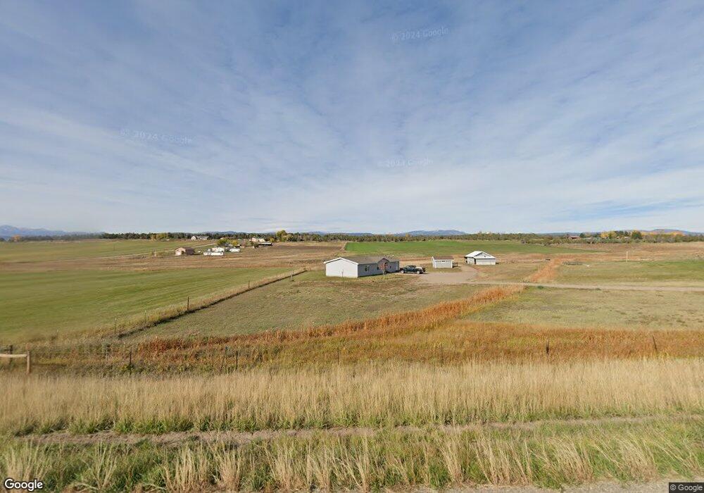
8812 State Highway 172 Ignacio, CO 81137
Estimated Value: $186,079 - $564,000
3
Beds
2
Baths
1,737
Sq Ft
$240/Sq Ft
Est. Value
About This Home
This home is located at 8812 State Highway 172, Ignacio, CO 81137 and is currently estimated at $416,770, approximately $239 per square foot. 8812 State Highway 172 is a home with nearby schools including Ignacio Elementary School, Ignacio Middle School, and Ignacio High School.
Ownership History
Date
Name
Owned For
Owner Type
Purchase Details
Closed on
Dec 6, 2022
Sold by
Brunson Robert and Brunson Yvonne
Bought by
Brunson Robert
Current Estimated Value
Home Financials for this Owner
Home Financials are based on the most recent Mortgage that was taken out on this home.
Original Mortgage
$235,000
Outstanding Balance
$227,333
Interest Rate
6.49%
Estimated Equity
$189,437
Purchase Details
Closed on
Jun 21, 2005
Sold by
Long Meadow Llc
Bought by
Brunson Robert and Brunson Yvonne
Home Financials for this Owner
Home Financials are based on the most recent Mortgage that was taken out on this home.
Original Mortgage
$195,000
Interest Rate
5.63%
Mortgage Type
Purchase Money Mortgage
Purchase Details
Closed on
Jan 15, 2005
Sold by
Lukso Martin J
Bought by
Long Meadow Llc
Create a Home Valuation Report for This Property
The Home Valuation Report is an in-depth analysis detailing your home's value as well as a comparison with similar homes in the area
Purchase History
| Date | Buyer | Sale Price | Title Company |
|---|---|---|---|
| Brunson Robert | $70,000 | -- | |
| Brunson Robert | $76,400 | Colorado Land Title Co | |
| Long Meadow Llc | $158,400 | Colorado Land Title Co |
Source: Public Records
Mortgage History
| Date | Status | Borrower | Loan Amount |
|---|---|---|---|
| Open | Brunson Robert | $235,000 | |
| Previous Owner | Brunson Robert | $195,000 |
Source: Public Records
Tax History
| Year | Tax Paid | Tax Assessment Tax Assessment Total Assessment is a certain percentage of the fair market value that is determined by local assessors to be the total taxable value of land and additions on the property. | Land | Improvement |
|---|---|---|---|---|
| 2025 | $588 | $17,690 | $5,170 | $12,520 |
| 2024 | $561 | $13,200 | $3,470 | $9,730 |
| 2023 | $561 | $16,030 | $4,210 | $11,820 |
| 2022 | $766 | $17,510 | $4,600 | $12,910 |
| 2021 | $725 | $16,240 | $4,730 | $11,510 |
| 2020 | $707 | $15,840 | $4,440 | $11,400 |
| 2019 | $588 | $15,840 | $4,440 | $11,400 |
| 2018 | $574 | $15,570 | $4,960 | $10,610 |
| 2017 | $584 | $15,570 | $4,960 | $10,610 |
| 2016 | $537 | $15,490 | $5,380 | $10,110 |
| 2015 | $239 | $15,490 | $5,380 | $10,110 |
| 2014 | $239 | $15,640 | $5,270 | $10,370 |
| 2013 | -- | $14,370 | $5,270 | $9,100 |
Source: Public Records
Map
Nearby Homes
- 329 Payne Ln
- 104 Chicken Hawk Ln
- 59 Chesterfield
- 5102 County Road 311
- 2355 Cr 513
- 75 Sundial Ln
- 4915 County Road 510
- 232 Rawhide Rd
- 134 Rawhide Rd
- 58 Rawhide Rd
- TBD Farraday Rd
- 543 Silver Hills Rd
- 1308 Wrangler Way
- 231 Bareback Ln
- 1250 Wrangler Way
- 769 & 784 Bareback Ln
- 2543 Wrangler Way
- 201 Cowboy Trail
- TBD County Road 510
- 769 Amp; 784 Bareback Ln
- 8814 State Highway 172
- 8654 State Highway 172
- 128 Eagle Ln
- 5 Payne Ln
- 8821 State Highway 172
- 8815 State Highway 172
- 8990 State Highway 172
- 103 Payne Ln
- 139 Payne Ln
- 0 Eagle Dr Unit 724046
- 242 Eagle Ln
- 0 Payne Ln
- 239 Payne Ln
- 168 Payne Ln
- 290 Eagle Ln
- 232 Payne Ln
- 326 Payne Ln
- 366 Soaring Eagle Dr
- 8257 St Hwy 172
- 270 Soaring Eagle Dr
Your Personal Tour Guide
Ask me questions while you tour the home.