8851 Nc Highway 50 N Benson, NC 27504
Elevation NeighborhoodEstimated Value: $743,000 - $847,000
6
Beds
5
Baths
5,995
Sq Ft
$133/Sq Ft
Est. Value
About This Home
This home is located at 8851 Nc Highway 50 N, Benson, NC 27504 and is currently estimated at $795,913, approximately $132 per square foot. 8851 Nc Highway 50 N is a home located in Johnston County with nearby schools including McGee's Crossroads Elementary School, McGee's Crossroads Middle School, and West Johnston High School.
Ownership History
Date
Name
Owned For
Owner Type
Purchase Details
Closed on
Dec 4, 2017
Sold by
Spence Jeffery Rudolph and Spence Amy Mccormac
Bought by
Horner Madeline S
Current Estimated Value
Home Financials for this Owner
Home Financials are based on the most recent Mortgage that was taken out on this home.
Original Mortgage
$288,750
Outstanding Balance
$242,724
Interest Rate
3.88%
Mortgage Type
New Conventional
Estimated Equity
$553,189
Create a Home Valuation Report for This Property
The Home Valuation Report is an in-depth analysis detailing your home's value as well as a comparison with similar homes in the area
Home Values in the Area
Average Home Value in this Area
Purchase History
| Date | Buyer | Sale Price | Title Company |
|---|---|---|---|
| Horner Madeline S | $385,000 | None Available |
Source: Public Records
Mortgage History
| Date | Status | Borrower | Loan Amount |
|---|---|---|---|
| Open | Horner Madeline S | $288,750 |
Source: Public Records
Tax History Compared to Growth
Tax History
| Year | Tax Paid | Tax Assessment Tax Assessment Total Assessment is a certain percentage of the fair market value that is determined by local assessors to be the total taxable value of land and additions on the property. | Land | Improvement |
|---|---|---|---|---|
| 2025 | $4,989 | $785,600 | $85,320 | $700,280 |
| 2024 | $4,206 | $519,270 | $39,820 | $479,450 |
| 2023 | $4,076 | $519,270 | $39,820 | $479,450 |
| 2022 | $4,206 | $519,270 | $39,820 | $479,450 |
| 2021 | $4,206 | $519,270 | $39,820 | $479,450 |
| 2020 | $4,362 | $519,270 | $39,820 | $479,450 |
| 2019 | $4,258 | $519,270 | $39,820 | $479,450 |
| 2018 | $3,862 | $459,710 | $31,130 | $428,580 |
| 2017 | $3,862 | $459,710 | $31,130 | $428,580 |
| 2016 | $3,862 | $459,710 | $31,130 | $428,580 |
| 2015 | $3,862 | $459,710 | $31,130 | $428,580 |
| 2014 | $3,862 | $459,710 | $31,130 | $428,580 |
Source: Public Records
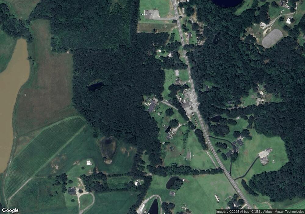
Map
Nearby Homes
- 4221 Zacks Mill Rd
- 821 Penny Rd
- 1008 Amanda Ln
- 1006 Stephenson Rd
- 7390 Nc 50 Hwy N
- 750 Stephenson Rd
- 151 Mills Pond Rd
- 235 Highcroft Cir
- 333 Greenleaf Rd
- 88 Bodacious Ln
- 139 Bounty Cir
- 197 W Paige Wynd Dr
- 176 Lowery Ln
- Raleigh Plan at Daniel Farms
- Drexel Plan at Daniel Farms
- Arlington Plan at Daniel Farms
- Stanley Plan at Daniel Farms
- Graham Plan at Daniel Farms
- Davidson Plan at Daniel Farms
- Caldwell Plan at Daniel Farms
- 8849 Nc Highway 50 N
- 8843 Nc Highway 50 N
- 8769 Nc Highway 50 N
- 8852 Nc Highway 50 N
- 8800 Nc Highway 50 N
- 2040 Stephenson Rd
- 1977 Stephenson Rd
- 00 Stephenson Rd
- 2013 Stephenson Rd
- 8671 N Carolina 50
- 8671 Nc 50 Hwy N
- 8739 Nc 50 Hwy N
- 2057 Stephenson Rd
- 8656 N Carolina 50
- 8656 Nc Highway 50 N
- 00 Nc 50 Hwy
- 00 Nc 50 Hwy Unit 1.00 AC HWY 50 PLAT
- 8972 Nc Highway 50 N Unit D
- 2087 Stephenson Rd
- 8851 N Carolina 50