886 Scott Rd Eastanollee, GA 30538
Estimated Value: $245,488 - $267,000
2
Beds
2
Baths
1,591
Sq Ft
$159/Sq Ft
Est. Value
About This Home
This home is located at 886 Scott Rd, Eastanollee, GA 30538 and is currently estimated at $252,829, approximately $158 per square foot. 886 Scott Rd is a home with nearby schools including Stephens County High School.
Ownership History
Date
Name
Owned For
Owner Type
Purchase Details
Closed on
Apr 13, 2018
Sold by
Alexander Evan Dakota
Bought by
Alexander Evan Dakota and Alexander Kristin T
Current Estimated Value
Home Financials for this Owner
Home Financials are based on the most recent Mortgage that was taken out on this home.
Original Mortgage
$87,600
Outstanding Balance
$75,335
Interest Rate
4.44%
Mortgage Type
New Conventional
Estimated Equity
$177,494
Purchase Details
Closed on
Aug 20, 2015
Sold by
Cheek Cleo Scott
Bought by
Cheek Benny Frank
Create a Home Valuation Report for This Property
The Home Valuation Report is an in-depth analysis detailing your home's value as well as a comparison with similar homes in the area
Home Values in the Area
Average Home Value in this Area
Purchase History
| Date | Buyer | Sale Price | Title Company |
|---|---|---|---|
| Alexander Evan Dakota | -- | -- | |
| Cheek Benny Frank | -- | -- |
Source: Public Records
Mortgage History
| Date | Status | Borrower | Loan Amount |
|---|---|---|---|
| Open | Alexander Evan Dakota | $87,600 |
Source: Public Records
Tax History Compared to Growth
Tax History
| Year | Tax Paid | Tax Assessment Tax Assessment Total Assessment is a certain percentage of the fair market value that is determined by local assessors to be the total taxable value of land and additions on the property. | Land | Improvement |
|---|---|---|---|---|
| 2024 | $1,528 | $52,180 | $7,190 | $44,990 |
| 2023 | $1,390 | $48,692 | $7,190 | $41,502 |
| 2022 | $1,312 | $46,086 | $7,190 | $38,896 |
| 2021 | $1,274 | $42,741 | $7,190 | $35,551 |
| 2020 | $1,273 | $42,303 | $7,190 | $35,113 |
| 2019 | $1,267 | $41,961 | $6,848 | $35,113 |
| 2018 | $736 | $23,224 | $6,848 | $16,376 |
| 2017 | $748 | $23,224 | $6,848 | $16,376 |
| 2016 | $2,595 | $117,680 | $70,035 | $47,644 |
| 2015 | $1,009 | $32,368 | $6,848 | $25,520 |
| 2014 | $1,052 | $33,168 | $6,848 | $26,320 |
Source: Public Records
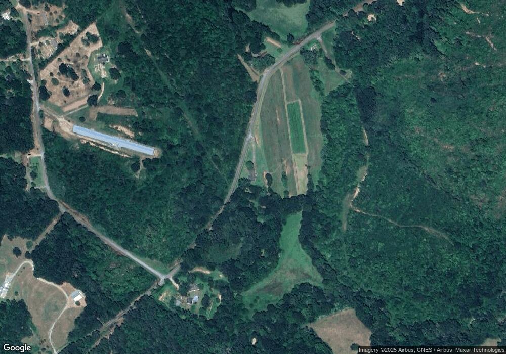
Map
Nearby Homes
- 1520 Defoor Rd
- 290 Indian Dr
- 197 Howard Rd
- 2657 Wolfpit Rd
- 219 Eastanollee Rd
- 3.35 ACRES Keener Rd
- 232 Oak Way Dr
- 303 Oak Way Dr
- 17 Pinetree Rd
- 271 Oak Way Dr
- 160 Oak Way Dr
- 7 Jottings Dr
- 836 Swilling Rd
- 000, LOT 30C Swilling Rd
- 0, LOT 30A Swilling Rd
- 00, LOT 30B Swilling Rd
- 160 Whitworth Cir
- 0 Eastanollee Rd Unit 10440265
- 883 Dortch Rd
- 825 Dortch Rd
- 0 Scott Rd Unit 8368976
- 0 Scott Rd Unit 8270888
- 0 Scott Rd Unit 7072398
- 0 Scott Rd Unit 7177647
- 0 Scott Rd Unit 33.29 7555940
- 0 Scott Rd Unit 7555923
- 0 Scott Rd Unit 33.29 8102792
- 0 Scott Rd Unit 8102790
- 0 Scott Rd Unit CM962171
- 770 Scott Rd
- 973 Scott Rd
- 231 Singleton Rd
- 1050 Scott Rd
- 1088 Scott Rd
- 202 Singleton Rd
- 535 Scott Rd
- 290 Singleton Rd
- 200 Singleton Rd
- 1213 Scott Rd
- 110 Singleton Rd