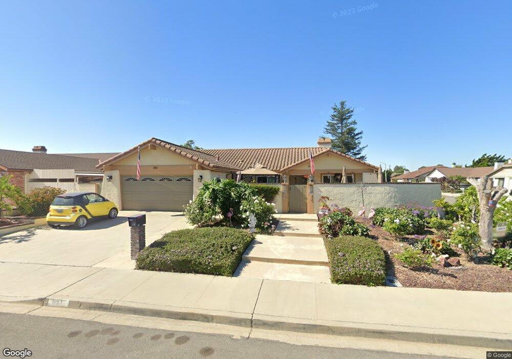
891 Rowland Ave Camarillo, CA 93010
Estimated Value: $923,000 - $963,000
3
Beds
2
Baths
2,017
Sq Ft
$466/Sq Ft
Est. Value
About This Home
This home is located at 891 Rowland Ave, Camarillo, CA 93010 and is currently estimated at $940,062, approximately $466 per square foot. 891 Rowland Ave is a home located in Ventura County with nearby schools including Monte Vista Middle School, University Preparation Charter School at CSU Channel Islands, and Camarillo Academy of Progressive Education.
Ownership History
Date
Name
Owned For
Owner Type
Purchase Details
Closed on
Feb 11, 2013
Sold by
Phillips Dennis M and Phillips Nancy L
Bought by
Phillips Dennis M and Phillips Nancy L
Current Estimated Value
Purchase Details
Closed on
Apr 1, 2002
Sold by
Phillips Dennis M
Bought by
Phillips Dennis M and Phillips Nancy L
Home Financials for this Owner
Home Financials are based on the most recent Mortgage that was taken out on this home.
Original Mortgage
$226,200
Interest Rate
6.27%
Purchase Details
Closed on
Jan 10, 2000
Sold by
Mason Lawrence J and Mason Rita A
Bought by
Phillips Dennis M
Home Financials for this Owner
Home Financials are based on the most recent Mortgage that was taken out on this home.
Original Mortgage
$228,700
Interest Rate
7.87%
Create a Home Valuation Report for This Property
The Home Valuation Report is an in-depth analysis detailing your home's value as well as a comparison with similar homes in the area
Home Values in the Area
Average Home Value in this Area
Purchase History
| Date | Buyer | Sale Price | Title Company |
|---|---|---|---|
| Phillips Dennis M | -- | None Available | |
| Phillips Dennis M | -- | Fidelity National Title Co | |
| Phillips Dennis M | $286,000 | American Title Co |
Source: Public Records
Mortgage History
| Date | Status | Borrower | Loan Amount |
|---|---|---|---|
| Closed | Phillips Dennis M | $226,200 | |
| Closed | Phillips Dennis M | $228,700 |
Source: Public Records
Tax History Compared to Growth
Tax History
| Year | Tax Paid | Tax Assessment Tax Assessment Total Assessment is a certain percentage of the fair market value that is determined by local assessors to be the total taxable value of land and additions on the property. | Land | Improvement |
|---|---|---|---|---|
| 2025 | $4,784 | $439,389 | $175,752 | $263,637 |
| 2024 | $4,784 | $430,774 | $172,306 | $258,468 |
| 2023 | $4,612 | $422,328 | $168,928 | $253,400 |
| 2022 | $4,597 | $414,048 | $165,616 | $248,432 |
| 2021 | $4,431 | $405,930 | $162,369 | $243,561 |
| 2020 | $4,414 | $401,769 | $160,705 | $241,064 |
| 2019 | $4,392 | $393,892 | $157,554 | $236,338 |
| 2018 | $4,311 | $386,169 | $154,465 | $231,704 |
| 2017 | $4,057 | $378,598 | $151,437 | $227,161 |
| 2016 | $3,959 | $371,175 | $148,468 | $222,707 |
| 2015 | $3,916 | $365,601 | $146,239 | $219,362 |
| 2014 | $3,824 | $358,441 | $143,375 | $215,066 |
Source: Public Records
Map
Nearby Homes
- 865 Mobil Ave
- 743 Rowland Ave
- 2174 Wilcox St
- 759 Guy Turner Dr
- 741 Guy Turner Dr
- 755 Guy Turner Dr
- 745 Guy Turner Dr
- 747 Guy Turner Dr
- 876 Palmer Ave
- 1656 Shoreline St
- 1566 Edgemont Dr
- 1461 Lexington Ct
- 478 Staunton St
- 2047 Euclid Ave
- 2113 Euclid Ave
- 1917 Colonia Place
- 1709 Las Posas Rd
- 2701 Barry St
- 1519 Lyndhurst Ave
- 591 Via Chelsea
- 869 Rowland Ave
- 1980 Bronson St
- 853 Rowland Ave
- 1993 Bronson St
- 1956 Bronson St
- 1981 Bronson St
- 790 Biscayne Ave
- 892 Rowland Ave
- 870 Rowland Ave
- 912 Rowland Ave
- 796 Biscayne Ave
- 854 Rowland Ave
- 1957 Bronson St
- 831 Rowland Ave
- 1932 Bronson St
- 938 Rowland Ave
- 832 Rowland Ave
- 1980 Hayden St
- 778 Biscayne Ave
- 1968 Hayden St