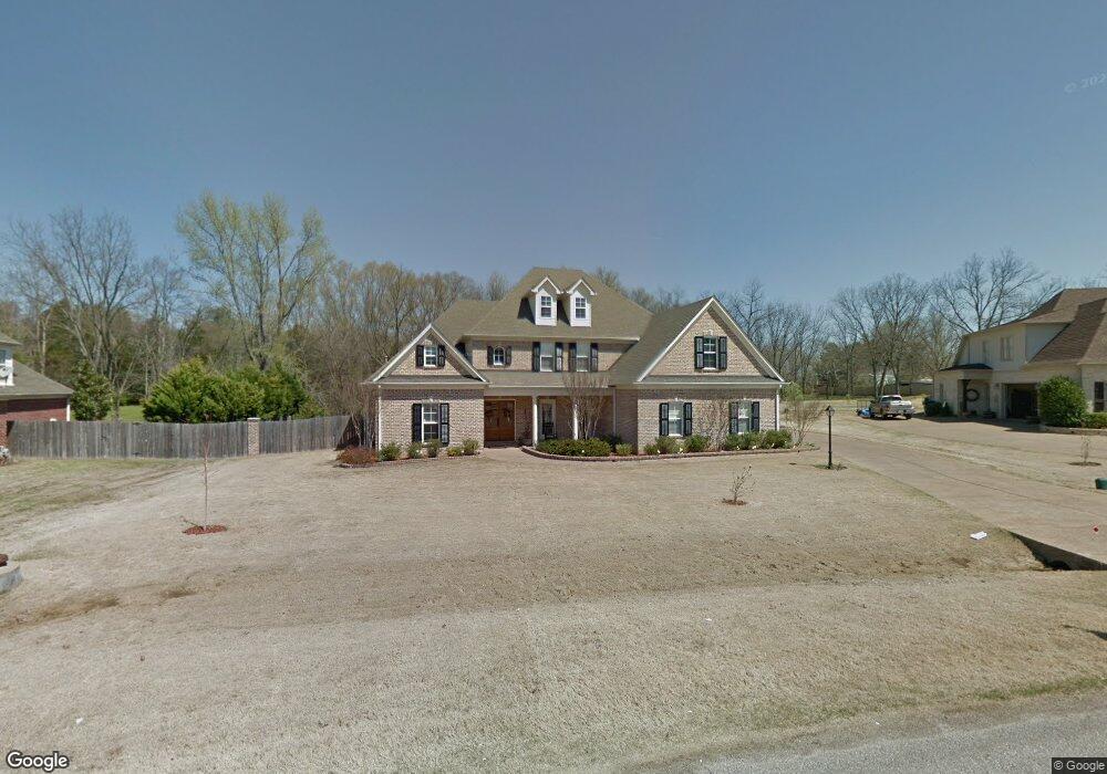
8910 Cameron St Olive Branch, MS 38654
Lewisburg NeighborhoodEstimated Value: $521,000 - $597,000
5
Beds
4
Baths
4,133
Sq Ft
$137/Sq Ft
Est. Value
About This Home
This home is located at 8910 Cameron St, Olive Branch, MS 38654 and is currently estimated at $566,962, approximately $137 per square foot. 8910 Cameron St is a home located in DeSoto County with nearby schools including Lewisburg Primary School, Lewisburg Elementary School, and Lewisburg Middle School.
Ownership History
Date
Name
Owned For
Owner Type
Purchase Details
Closed on
Dec 21, 2008
Sold by
Rms Residential Properties Llc
Bought by
Ruiz Michael A and Rappenecker Ruiz Dorothy G
Current Estimated Value
Home Financials for this Owner
Home Financials are based on the most recent Mortgage that was taken out on this home.
Original Mortgage
$308,750
Outstanding Balance
$200,623
Interest Rate
5.96%
Mortgage Type
Purchase Money Mortgage
Estimated Equity
$366,339
Purchase Details
Closed on
Aug 28, 2008
Sold by
Douglas Anthony R and Douglas Shudonica T
Bought by
Rms Residential Properties Llc
Create a Home Valuation Report for This Property
The Home Valuation Report is an in-depth analysis detailing your home's value as well as a comparison with similar homes in the area
Home Values in the Area
Average Home Value in this Area
Purchase History
| Date | Buyer | Sale Price | Title Company |
|---|---|---|---|
| Ruiz Michael A | -- | Resource Title Agency | |
| Rms Residential Properties Llc | $316,192 | None Available |
Source: Public Records
Mortgage History
| Date | Status | Borrower | Loan Amount |
|---|---|---|---|
| Open | Ruiz Michael A | $308,750 |
Source: Public Records
Tax History
| Year | Tax Paid | Tax Assessment Tax Assessment Total Assessment is a certain percentage of the fair market value that is determined by local assessors to be the total taxable value of land and additions on the property. | Land | Improvement |
|---|---|---|---|---|
| 2025 | $4,690 | $43,097 | $6,000 | $37,097 |
| 2024 | $4,026 | $31,695 | $6,000 | $25,695 |
| 2023 | $4,026 | $31,695 | $0 | $0 |
| 2022 | $4,057 | $31,695 | $6,000 | $25,695 |
| 2021 | $4,057 | $31,695 | $6,000 | $25,695 |
| 2020 | $2,693 | $29,637 | $6,000 | $23,637 |
| 2019 | $2,693 | $29,637 | $6,000 | $23,637 |
| 2017 | $2,657 | $52,144 | $29,072 | $23,072 |
| 2016 | $2,657 | $29,072 | $6,000 | $23,072 |
| 2015 | $2,957 | $52,144 | $29,072 | $23,072 |
| 2014 | $2,657 | $29,072 | $0 | $0 |
| 2013 | $2,731 | $29,072 | $0 | $0 |
Source: Public Records
Map
Nearby Homes
- 9094 Apple Orchard Cove
- 3914 Saddle Bend
- 9159 Mitchells Farm Cove
- 9107 Apple Orchard Cove
- 9143 Apple Orchard Cove
- 9142 Cedar Barn Cove
- 9135 Cedar Barn Cove
- 3576 Holly Cove
- 6606 Mississippi 305
- 6279 Mississippi 305
- 8790 Mary McCoy Dr
- 8465 Belmor Lakes Dr
- 4147 Olivia Cir W
- 4173 Olivia Cir W
- 4201 Olivia Cir W
- 9035 Cedar Creek Dr
- 4229 Olivia Cir W
- 4251 Olivia Cir W
- 8593 Gwin Hollow
- 4269 Olivia Cir W
- 8924 Cameron St
- 8888 Cameron St
- 3643 Rutledge Rd
- 8860 Cameron St
- 3656 Rutledge Rd
- 8899 Mitchell Grove Rd S
- 8919 Mitchell Grove Rd S
- 3721 Highway 305 N
- 8857 Cameron St
- 3609 Rutledge Rd
- 8879 Mitchell Grove Rd S
- 8838 Cameron St
- 8838 Cameron St Unit 6
- 44 Rutledge Rd
- 3755 Mississippi 305
- 3755 Highway 305 N
- 3755 Highway 305 N
- 3618 Rutledge Rd
- 8929 Mitchell Grove Rd S
- 3762 Marie Ln
Your Personal Tour Guide
Ask me questions while you tour the home.