Estimated Value: $445,742 - $579,000
3
Beds
4
Baths
1,794
Sq Ft
$279/Sq Ft
Est. Value
About This Home
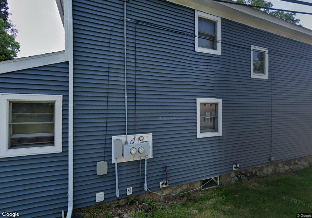
This home is located at 9 Boyd Rd, Derry, NH 03038 and is currently estimated at $500,186, approximately $278 per square foot. 9 Boyd Rd is a home located in Rockingham County with nearby schools including Grinnell School, Gilbert H. Hood Middle School, and Pinkerton Academy.
Ownership History
Date
Name
Owned For
Owner Type
Purchase Details
Closed on
Feb 4, 1997
Sold by
Fhlmc
Bought by
Russell Sandra
Current Estimated Value
Home Financials for this Owner
Home Financials are based on the most recent Mortgage that was taken out on this home.
Original Mortgage
$75,650
Outstanding Balance
$6,182
Interest Rate
7.65%
Estimated Equity
$494,004
Create a Home Valuation Report for This Property
The Home Valuation Report is an in-depth analysis detailing your home's value as well as a comparison with similar homes in the area
Home Values in the Area
Average Home Value in this Area
Purchase History
| Date | Buyer | Sale Price | Title Company |
|---|---|---|---|
| Russell Sandra | $77,000 | -- |
Source: Public Records
Mortgage History
| Date | Status | Borrower | Loan Amount |
|---|---|---|---|
| Open | Russell Sandra | $24,000 | |
| Open | Russell Sandra | $75,650 |
Source: Public Records
Tax History
| Year | Tax Paid | Tax Assessment Tax Assessment Total Assessment is a certain percentage of the fair market value that is determined by local assessors to be the total taxable value of land and additions on the property. | Land | Improvement |
|---|---|---|---|---|
| 2025 | $7,748 | $408,000 | $195,100 | $212,900 |
| 2024 | $7,626 | $408,000 | $195,100 | $212,900 |
| 2023 | $6,754 | $326,600 | $165,800 | $160,800 |
| 2022 | $6,218 | $326,600 | $165,800 | $160,800 |
| 2021 | $6,098 | $246,300 | $121,800 | $124,500 |
| 2020 | $6,017 | $247,200 | $121,800 | $125,400 |
| 2019 | $5,472 | $209,500 | $98,100 | $111,400 |
| 2018 | $5,172 | $198,700 | $98,100 | $100,600 |
| 2017 | $4,825 | $167,200 | $84,700 | $82,500 |
| 2016 | $4,519 | $167,000 | $84,700 | $82,300 |
| 2015 | $4,215 | $144,200 | $71,300 | $72,900 |
| 2014 | $4,242 | $144,200 | $71,300 | $72,900 |
| 2013 | $4,320 | $137,200 | $66,900 | $70,300 |
Source: Public Records
Map
Nearby Homes
- 84 E Broadway
- 32 Crystal Ave
- 29 Central St
- 24 Jefferson St
- 35 Highland Ave
- 36 Highland Ave
- 13 Sunnyside Ln Unit L
- 25 Wyman St
- 5 Nesmith St
- 5 Tsienneto Rd Unit 47
- 5 Tsienneto Rd Unit 194
- 5 Tsienneto Rd Unit 136
- 7 Chester Rd Unit 212
- 6 Mills Farm Cir Unit R
- 6 Stonegate Ln
- 12R Brian Ave Unit R
- 4 Norman Dr Unit L
- 4C Pine Isle Dr Unit B
- 30 Kendall Pond Rd Unit 77
- 30 Kendall Pond Rd Unit 87
Your Personal Tour Guide
Ask me questions while you tour the home.