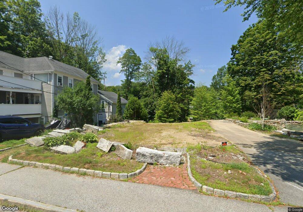
9 High St Meredith, NH 03253
Estimated Value: $618,000 - $897,000
4
Beds
3
Baths
2,327
Sq Ft
$317/Sq Ft
Est. Value
About This Home
This home is located at 9 High St, Meredith, NH 03253 and is currently estimated at $738,333, approximately $317 per square foot. 9 High St is a home with nearby schools including Inter-Lakes Elementary School, Sandwich Central School, and Inter-Lakes Middle High School.
Ownership History
Date
Name
Owned For
Owner Type
Purchase Details
Closed on
Oct 26, 2005
Sold by
Burnham 3Rd Michael and Burnham Midge J
Bought by
Wright John R and Wright Elaine G
Current Estimated Value
Home Financials for this Owner
Home Financials are based on the most recent Mortgage that was taken out on this home.
Original Mortgage
$185,000
Outstanding Balance
$41,126
Interest Rate
5.79%
Mortgage Type
Purchase Money Mortgage
Estimated Equity
$697,207
Create a Home Valuation Report for This Property
The Home Valuation Report is an in-depth analysis detailing your home's value as well as a comparison with similar homes in the area
Home Values in the Area
Average Home Value in this Area
Purchase History
| Date | Buyer | Sale Price | Title Company |
|---|---|---|---|
| Wright John R | $285,000 | -- |
Source: Public Records
Mortgage History
| Date | Status | Borrower | Loan Amount |
|---|---|---|---|
| Open | Wright John R | $185,000 |
Source: Public Records
Tax History
| Year | Tax Paid | Tax Assessment Tax Assessment Total Assessment is a certain percentage of the fair market value that is determined by local assessors to be the total taxable value of land and additions on the property. | Land | Improvement |
|---|---|---|---|---|
| 2024 | $4,958 | $483,200 | $313,400 | $169,800 |
| 2023 | $4,779 | $483,200 | $313,400 | $169,800 |
| 2022 | $3,956 | $283,200 | $146,200 | $137,000 |
| 2021 | $3,803 | $283,200 | $146,200 | $137,000 |
| 2020 | $3,970 | $283,200 | $146,200 | $137,000 |
| 2019 | $3,718 | $226,400 | $104,900 | $121,500 |
| 2018 | $3,519 | $225,300 | $104,900 | $120,400 |
| 2016 | $3,539 | $227,000 | $92,700 | $134,300 |
| 2015 | $3,450 | $227,000 | $92,700 | $134,300 |
| 2014 | $3,366 | $227,000 | $92,700 | $134,300 |
| 2013 | $3,287 | $228,100 | $92,700 | $135,400 |
Source: Public Records
Map
Nearby Homes
- 2 Waukewan Ave
- 27 Stevens Ave Unit D
- 11 Bonney Shores Rd
- 21 Barnard Ridge Rd
- 53 Oak Knoll Rd
- 34-35-36 Commerce Ct
- 11 Birch Ledge Rd
- 20 True Rd Unit 85
- 20 True Rd Unit 52
- 20 True Rd Unit 101
- 20 True Rd Unit 22
- 20 True Rd Unit 73
- 20 True Rd Unit 94
- 20 True Rd Unit 93
- 47 Clover Ridge Rd
- 5 Clover Ridge Rd
- 00 Tracy Way Unit 63
- 75 Neal Shore Rd
- 9 Westbury Rd
- 57 Winona Rd
- 11 High St
- 15 High St
- 15 High St Unit 5
- 15 High St Unit 4
- 15 High St Unit 1
- 15 High St Unit 2
- 10 Water St
- 14 High St
- 8 Water St Unit 2
- 8 Water St Unit 2
- 8 Water St Unit 3
- 8 Water St
- 99 Main St
- 19 High St Unit 3
- 19 High St Unit 2
- 19 High St Unit 1
- 12 Water St
- 4 Water St Unit 1
- 4 Water St Unit 4
- 4 Water St Unit 3
Your Personal Tour Guide
Ask me questions while you tour the home.