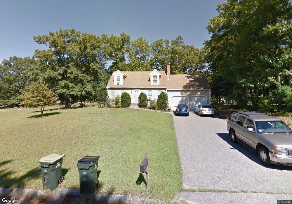
9 Longobardi Dr Franklin, MA 02038
Estimated Value: $669,457 - $772,000
3
Beds
2
Baths
1,527
Sq Ft
$480/Sq Ft
Est. Value
About This Home
This home is located at 9 Longobardi Dr, Franklin, MA 02038 and is currently estimated at $732,864, approximately $479 per square foot. 9 Longobardi Dr is a home located in Norfolk County with nearby schools including Helen Keller Elementary School, Annie Sullivan Middle School, and Franklin High School.
Ownership History
Date
Name
Owned For
Owner Type
Purchase Details
Closed on
Jun 18, 1990
Sold by
Oak Ridge Const Co Inc
Bought by
Weston Paul A
Current Estimated Value
Create a Home Valuation Report for This Property
The Home Valuation Report is an in-depth analysis detailing your home's value as well as a comparison with similar homes in the area
Purchase History
| Date | Buyer | Sale Price | Title Company |
|---|---|---|---|
| Weston Paul A | $180,000 | -- |
Source: Public Records
Mortgage History
| Date | Status | Borrower | Loan Amount |
|---|---|---|---|
| Open | Weston Paul A | $216,000 | |
| Closed | Weston Paul A | $63,000 |
Source: Public Records
Tax History
| Year | Tax Paid | Tax Assessment Tax Assessment Total Assessment is a certain percentage of the fair market value that is determined by local assessors to be the total taxable value of land and additions on the property. | Land | Improvement |
|---|---|---|---|---|
| 2025 | $7,580 | $652,300 | $245,300 | $407,000 |
| 2024 | $7,207 | $611,300 | $245,300 | $366,000 |
| 2023 | $6,903 | $548,700 | $255,900 | $292,800 |
| 2022 | $6,601 | $469,800 | $211,500 | $258,300 |
| 2021 | $6,087 | $415,500 | $207,400 | $208,100 |
| 2020 | $6,106 | $420,800 | $222,900 | $197,900 |
| 2019 | $4,961 | $338,400 | $201,600 | $136,800 |
| 2018 | $4,892 | $333,900 | $211,300 | $122,600 |
| 2017 | $4,615 | $316,500 | $193,900 | $122,600 |
| 2016 | $4,811 | $331,800 | $206,700 | $125,100 |
| 2015 | $4,566 | $307,700 | $182,600 | $125,100 |
| 2014 | $4,297 | $297,400 | $172,300 | $125,100 |
Source: Public Records
Map
Nearby Homes
- 30 Longobardi Dr Unit 30
- 62 Uncas Ave
- 90 E Central St Unit 103
- 90 E Central St Unit 106
- 90 E Central St Unit 304
- 90 E Central St Unit 202
- 90 E Central St Unit 105
- 90 E Central St Unit 301
- 64 Uncas Ave
- 76 Uncas Ave
- 66 Uncas Ave
- 68 Uncas Ave
- 80 Uncas Ave
- 82 Uncas Ave
- 82 Uncas Ave Unit 1
- 99 Summer St
- 3 Oak View Terrace Unit 3
- 88 Crescent St
- 139 King St Unit 306
- 14 Pleasant St Unit B
- 7 Longobardi Dr
- 12 Longobardi Dr
- 15 Kerrie Cir
- 10 Longobardi Dr
- 19 Longobardi Dr
- 11 Kerrie Cir
- 14 Longobardi Dr
- 8 Longobardi Dr
- 6 Kerrie Cir
- 5 Longobardi Dr
- 9 Kerrie Cir
- 16 Longobardi Dr
- 27 Longobardi Dr
- 29 Longobardi Dr
- 33 Longobardi Dr
- 35 Longobardi Dr
- 18 Longobardi Dr
- 6 Longobardi Dr
- 39 Longobardi Dr
- 41 Longobardi Dr
Your Personal Tour Guide
Ask me questions while you tour the home.