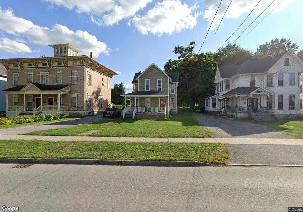
9 S Main St Batavia, NY 14020
Estimated Value: $127,000 - $146,280
4
Beds
2
Baths
2,106
Sq Ft
$65/Sq Ft
Est. Value
About This Home
This home is located at 9 S Main St, Batavia, NY 14020 and is currently estimated at $136,320, approximately $64 per square foot. 9 S Main St is a home located in Genesee County with nearby schools including Jackson Primary School, John Kennedy Intermediate School, and Batavia Middle School.
Ownership History
Date
Name
Owned For
Owner Type
Purchase Details
Closed on
Oct 21, 2008
Sold by
Brumsted Aka Brumstead David P Elizabeth
Bought by
Pro Properties Group Llc
Current Estimated Value
Home Financials for this Owner
Home Financials are based on the most recent Mortgage that was taken out on this home.
Original Mortgage
$61,000
Interest Rate
7%
Mortgage Type
Purchase Money Mortgage
Purchase Details
Closed on
Sep 21, 2007
Purchase Details
Closed on
Oct 3, 2001
Sold by
Brumsted David P
Bought by
Morrison Gerald
Create a Home Valuation Report for This Property
The Home Valuation Report is an in-depth analysis detailing your home's value as well as a comparison with similar homes in the area
Home Values in the Area
Average Home Value in this Area
Purchase History
| Date | Buyer | Sale Price | Title Company |
|---|---|---|---|
| Pro Properties Group Llc | $61,000 | Thomas D. Williams | |
| -- | $35,000 | -- | |
| Morrison Gerald | $80,000 | Mary Ann E. Wiater |
Source: Public Records
Mortgage History
| Date | Status | Borrower | Loan Amount |
|---|---|---|---|
| Closed | Pro Properties Group Llc | $61,000 |
Source: Public Records
Tax History
| Year | Tax Paid | Tax Assessment Tax Assessment Total Assessment is a certain percentage of the fair market value that is determined by local assessors to be the total taxable value of land and additions on the property. | Land | Improvement |
|---|---|---|---|---|
| 2024 | $3,553 | $109,000 | $16,700 | $92,300 |
| 2023 | $1,728 | $94,000 | $16,700 | $77,300 |
| 2022 | $3,595 | $94,000 | $16,700 | $77,300 |
| 2021 | $3,663 | $89,000 | $16,700 | $72,300 |
| 2020 | $2,580 | $61,000 | $16,700 | $44,300 |
| 2019 | $2,433 | $61,000 | $16,700 | $44,300 |
| 2018 | $2,433 | $58,000 | $12,000 | $46,000 |
| 2017 | $2,454 | $58,000 | $12,000 | $46,000 |
| 2016 | $2,501 | $58,000 | $12,000 | $46,000 |
| 2015 | -- | $58,000 | $12,000 | $46,000 |
| 2014 | -- | $58,000 | $12,000 | $46,000 |
Source: Public Records
Map
Nearby Homes
- 8 S Main St
- 0 Pearl & Wortendyke Rd Unit B1605288
- 16 Franklin St
- 33 Pearl St
- 30 Prospect Ave
- 0 Bank St Unit B1659421
- 126 State St
- 68 Oak St
- 11 Hall St
- 37 Vine St
- 48 Redfield Pkwy
- 120 Hutchins St
- 208 Ross St
- 4 Otis St
- 2 Mckinley Ave
- 53 Otis St
- 115 N Spruce St
- 0 Creek Rd Unit R1660571
- 4416 S Bennett Heights
- 0 Co Rd 5 Unit S1647808
Your Personal Tour Guide
Ask me questions while you tour the home.