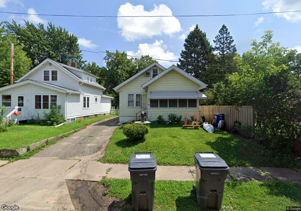
900 Ruth St N Saint Paul, MN 55119
Beaver Lake Heights NeighborhoodEstimated Value: $274,000 - $284,845
3
Beds
1
Bath
1,289
Sq Ft
$217/Sq Ft
Est. Value
About This Home
This home is located at 900 Ruth St N, Saint Paul, MN 55119 and is currently estimated at $279,211, approximately $216 per square foot. 900 Ruth St N is a home located in Ramsey County with nearby schools including Hazel Park Preparatory Academy, Txuj Ci HMong Language and Culture Upper Campus, and Johnson Senior High School.
Ownership History
Date
Name
Owned For
Owner Type
Purchase Details
Closed on
Apr 22, 2022
Sold by
James Brian M
Bought by
Diaz Cynthia and Lopez Humberto
Current Estimated Value
Home Financials for this Owner
Home Financials are based on the most recent Mortgage that was taken out on this home.
Original Mortgage
$265,109
Interest Rate
5.3%
Mortgage Type
FHA
Purchase Details
Closed on
Sep 26, 1996
Sold by
Howe Lisa E
Bought by
James Brian M
Create a Home Valuation Report for This Property
The Home Valuation Report is an in-depth analysis detailing your home's value as well as a comparison with similar homes in the area
Home Values in the Area
Average Home Value in this Area
Purchase History
| Date | Buyer | Sale Price | Title Company |
|---|---|---|---|
| Diaz Cynthia | $270,000 | None Listed On Document | |
| James Brian M | $69,300 | -- |
Source: Public Records
Mortgage History
| Date | Status | Borrower | Loan Amount |
|---|---|---|---|
| Previous Owner | Diaz Cynthia | $265,109 | |
| Closed | Diaz Cynthia | $11,000 |
Source: Public Records
Tax History Compared to Growth
Tax History
| Year | Tax Paid | Tax Assessment Tax Assessment Total Assessment is a certain percentage of the fair market value that is determined by local assessors to be the total taxable value of land and additions on the property. | Land | Improvement |
|---|---|---|---|---|
| 2025 | $3,824 | $273,400 | $30,000 | $243,400 |
| 2023 | $3,824 | $248,500 | $25,000 | $223,500 |
| 2022 | $3,004 | $230,300 | $25,000 | $205,300 |
| 2021 | $2,560 | $188,300 | $25,000 | $163,300 |
| 2020 | $2,510 | $175,900 | $14,700 | $161,200 |
| 2019 | $2,256 | $155,000 | $14,700 | $140,300 |
| 2018 | $2,218 | $149,600 | $14,700 | $134,900 |
| 2017 | $2,074 | $151,600 | $14,700 | $136,900 |
| 2016 | $1,898 | $0 | $0 | $0 |
| 2015 | $1,554 | $120,200 | $14,700 | $105,500 |
| 2014 | $1,368 | $0 | $0 | $0 |
Source: Public Records
Map
Nearby Homes
- 2037 Manitou Ave
- 834 Iroquois Ave
- 2160 Nokomis Ave
- 1950 Case Ave E
- 2054 Nortonia Ave
- 2002 Nortonia Ave
- 2015 Bush Ave E
- 2161 Ross Ave E
- 2175 Bush Ave E
- 2311 Nokomis Ave
- 2121 Minnehaha Ave E
- 1824 Sims Ave
- 2112 Minnehaha Ave E
- 2172 Reaney Ave E
- 1784 Sims Ave
- 2220 Reaney Ave E
- 1769 York Ave
- 1752 Stillwater Ave
- 1747 York Ave
- 1766 Ross Ave
- 902 Ruth St N
- 896 Ruth St N
- 896 896 Ruth-Street-n
- 2026 Stillwater Ave E
- 2022 Stillwater Ave E
- 2069 Manitou Ave
- 2034 Stillwater Ave E
- 2061 Manitou Ave
- 2073 Manitou Ave
- 2061 2061 Manitou-Avenue-
- 2055 Manitou Ave
- 2055 2055 Manitou-Avenue-
- 901 901 Ruth-Street-n
- 2036 Stillwater Ave E
- 901 Ruth St N
- 2077 Manitou Ave
- 2016 Stillwater Ave E
- 901 Ruth St N
- 2043 Manitou Ave
- 897 Ruth St N