901 Durham Way Unit 1 Stockbridge, GA 30281
Estimated Value: $313,000 - $335,000
5
Beds
3
Baths
2,427
Sq Ft
$132/Sq Ft
Est. Value
About This Home
This home is located at 901 Durham Way Unit 1, Stockbridge, GA 30281 and is currently estimated at $321,443, approximately $132 per square foot. 901 Durham Way Unit 1 is a home located in Henry County with nearby schools including Red Oak Elementary School, Dutchtown Middle School, and Dutchtown High School.
Ownership History
Date
Name
Owned For
Owner Type
Purchase Details
Closed on
Apr 30, 2004
Sold by
Tim Jones Communities Inc
Bought by
Young Ricky G and Young Celiann O
Current Estimated Value
Home Financials for this Owner
Home Financials are based on the most recent Mortgage that was taken out on this home.
Original Mortgage
$165,140
Outstanding Balance
$78,309
Interest Rate
5.77%
Mortgage Type
VA
Estimated Equity
$243,134
Create a Home Valuation Report for This Property
The Home Valuation Report is an in-depth analysis detailing your home's value as well as a comparison with similar homes in the area
Home Values in the Area
Average Home Value in this Area
Purchase History
| Date | Buyer | Sale Price | Title Company |
|---|---|---|---|
| Young Ricky G | $167,800 | -- | |
| Tim Jones Communities Inc | $27,000 | -- |
Source: Public Records
Mortgage History
| Date | Status | Borrower | Loan Amount |
|---|---|---|---|
| Open | Tim Jones Communities Inc | $165,140 |
Source: Public Records
Tax History Compared to Growth
Tax History
| Year | Tax Paid | Tax Assessment Tax Assessment Total Assessment is a certain percentage of the fair market value that is determined by local assessors to be the total taxable value of land and additions on the property. | Land | Improvement |
|---|---|---|---|---|
| 2025 | $439 | $125,520 | $18,000 | $107,520 |
| 2024 | $439 | $121,160 | $18,000 | $103,160 |
| 2023 | $362 | $126,120 | $14,000 | $112,120 |
| 2022 | $246 | $98,680 | $14,000 | $84,680 |
| 2021 | $246 | $79,920 | $12,000 | $67,920 |
| 2020 | $246 | $72,960 | $10,000 | $62,960 |
| 2019 | $2,374 | $64,880 | $10,000 | $54,880 |
| 2018 | $2,347 | $64,000 | $10,000 | $54,000 |
| 2016 | $2,154 | $58,960 | $10,000 | $48,960 |
| 2015 | $1,941 | $52,240 | $7,200 | $45,040 |
| 2014 | $1,753 | $47,080 | $7,200 | $39,880 |
Source: Public Records
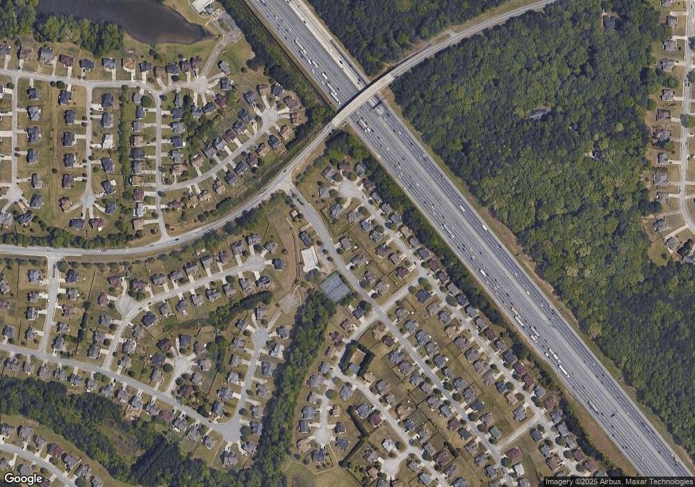
Map
Nearby Homes
- 213 Sunderland Way Unit 1
- 512 Chaucer Way Unit 1
- 263 Northwind Dr
- 1341 Kent Manor Unit 3
- 469 Village Cir
- 486 Village Cir
- 404 Northwind Place
- 1653 Jersey Dr
- 1545 Brangus Dr
- 300 Monarch Village Way
- 719 Nightwind Way
- 235 Alexis Ave
- 198 Broder Farms Dr
- 924 Dexter Dr
- 223 Monarch Village Way
- 184 Eagle Way
- 266 Monarch Village Way
- 568 Ransom Way
- 213 Baron Ct
- 905 Durham Way
- 1505 Buckingham Place Unit 1
- 1509 Buckingham Place Unit 1
- 1501 Buckingham Place Unit 1
- 1513 Buckingham Place
- 1513 Buckingham Place Unit 1
- 1497 Buckingham Place
- 909 Durham Way Unit 1
- 910 Durham Way
- 1493 Buckingham Place
- 1517 Buckingham Place
- 1517 Buckingham Place
- 1517 Buckingham Place Unit 26
- 1516 Buckingham Place Unit 159
- 1516 Buckingham Place
- 913 Durham Way
- 913 Durham Way Unit 1
- 1512 Buckingham Place
- 1520 Buckingham Place
- 1489 Buckingham Place