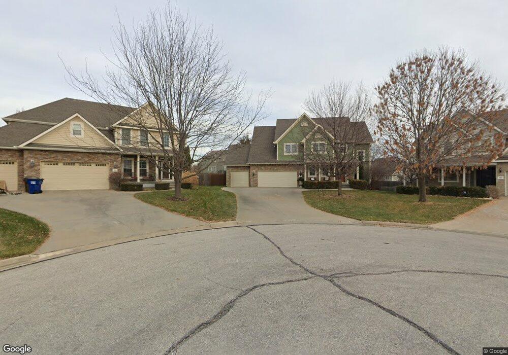
902 Westfield Ct Lawrence, KS 66049
West Lawrence NeighborhoodEstimated Value: $491,107 - $500,000
4
Beds
3
Baths
1,948
Sq Ft
$255/Sq Ft
Est. Value
About This Home
This home is located at 902 Westfield Ct, Lawrence, KS 66049 and is currently estimated at $496,027, approximately $254 per square foot. 902 Westfield Ct is a home located in Douglas County with nearby schools including Langston Hughes Elementary School, Southwest Middle School, and Lawrence Free State High School.
Ownership History
Date
Name
Owned For
Owner Type
Purchase Details
Closed on
Oct 24, 2006
Sold by
Blue Tree Homes Llc
Bought by
Herman Jeremy C and Herman Amanda
Current Estimated Value
Home Financials for this Owner
Home Financials are based on the most recent Mortgage that was taken out on this home.
Original Mortgage
$288,692
Outstanding Balance
$170,356
Interest Rate
6.26%
Mortgage Type
Purchase Money Mortgage
Estimated Equity
$325,671
Create a Home Valuation Report for This Property
The Home Valuation Report is an in-depth analysis detailing your home's value as well as a comparison with similar homes in the area
Home Values in the Area
Average Home Value in this Area
Purchase History
| Date | Buyer | Sale Price | Title Company |
|---|---|---|---|
| Herman Jeremy C | -- | Commerce Title |
Source: Public Records
Mortgage History
| Date | Status | Borrower | Loan Amount |
|---|---|---|---|
| Open | Herman Jeremy C | $288,692 |
Source: Public Records
Tax History Compared to Growth
Tax History
| Year | Tax Paid | Tax Assessment Tax Assessment Total Assessment is a certain percentage of the fair market value that is determined by local assessors to be the total taxable value of land and additions on the property. | Land | Improvement |
|---|---|---|---|---|
| 2025 | $6,829 | $54,602 | $9,200 | $45,402 |
| 2024 | $6,795 | $54,303 | $7,475 | $46,828 |
| 2023 | $6,544 | $50,646 | $7,475 | $43,171 |
| 2022 | $5,980 | $46,000 | $7,475 | $38,525 |
| 2021 | $5,688 | $42,458 | $6,334 | $36,124 |
| 2020 | $5,566 | $40,995 | $6,334 | $34,661 |
| 2019 | $5,305 | $39,042 | $6,334 | $32,708 |
| 2018 | $5,294 | $38,628 | $6,334 | $32,294 |
| 2017 | $5,154 | $37,248 | $6,334 | $30,914 |
| 2016 | $4,843 | $36,478 | $5,753 | $30,725 |
| 2015 | $4,917 | $37,122 | $5,753 | $31,369 |
| 2014 | $4,745 | $36,121 | $5,753 | $30,368 |
Source: Public Records
Map
Nearby Homes
- 1017 Stoneridge Dr
- 1033 Stonecreek Dr
- 1040 Stonecreek Dr
- 5204 Fox Chase Dr
- 5204 Foxchase Dr
- 5614 Chimney Rocks Cir
- 5117 Harvard Rd
- 6204 Berando Ct
- 5245 Overland Dr Unit A15
- 5245 Overland Dr Unit C12
- 5245 Overland Dr Unit D4
- 5024 Cedar Grove Way
- 1202 Little Knife
- 1120 Klein Ct
- 311 Headwaters Dr
- 1347 Kanza Dr
- 1115 Renaissance Dr
- 1549 Legend Trail Dr Unit A
- 1300 Research Park Dr
- 5710 Goff Ct
- 906 Westfield Ct
- 903 Westfield Ct
- 5607 Silverstone Dr
- 5603 Silverstone Dr
- 907 April Rain Rd
- 5611 Silverstone Dr
- 910 Westfield Ct
- 911 April Rain Rd
- 903 April Rain Rd
- 907 Westfield Ct
- 5615 Silverstone Dr
- 2723 Westfield Dr
- 915 April Rain Rd
- 911 Westfield Ct
- 5619 Silverstone Dr
- 5703 Silverstone Dr
- 5712 Westfield Dr
- 5288 Silverstone Dr
- 5606 Silverstone Dr
- 5610 Silverstone Dr