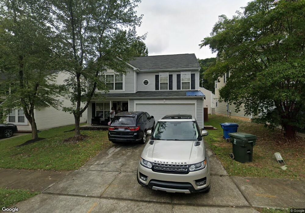
904 Stennis Way Durham, NC 27703
Eastern Durham NeighborhoodEstimated Value: $348,000 - $392,000
4
Beds
3
Baths
2,304
Sq Ft
$161/Sq Ft
Est. Value
About This Home
This home is located at 904 Stennis Way, Durham, NC 27703 and is currently estimated at $371,935, approximately $161 per square foot. 904 Stennis Way is a home located in Durham County with nearby schools including Bethesda Elementary School, John W Neal Middle School, and Southern School of Energy & Sustainability.
Ownership History
Date
Name
Owned For
Owner Type
Purchase Details
Closed on
Jun 3, 2003
Sold by
Anderson Homes Inc
Bought by
Deberry Craig and Deberry Lolita Kaye
Current Estimated Value
Home Financials for this Owner
Home Financials are based on the most recent Mortgage that was taken out on this home.
Original Mortgage
$157,335
Outstanding Balance
$66,013
Interest Rate
5.2%
Mortgage Type
Purchase Money Mortgage
Estimated Equity
$305,922
Create a Home Valuation Report for This Property
The Home Valuation Report is an in-depth analysis detailing your home's value as well as a comparison with similar homes in the area
Home Values in the Area
Average Home Value in this Area
Purchase History
| Date | Buyer | Sale Price | Title Company |
|---|---|---|---|
| Deberry Craig | $157,500 | -- |
Source: Public Records
Mortgage History
| Date | Status | Borrower | Loan Amount |
|---|---|---|---|
| Open | Deberry Craig | $157,335 |
Source: Public Records
Tax History Compared to Growth
Tax History
| Year | Tax Paid | Tax Assessment Tax Assessment Total Assessment is a certain percentage of the fair market value that is determined by local assessors to be the total taxable value of land and additions on the property. | Land | Improvement |
|---|---|---|---|---|
| 2025 | $3,810 | $384,375 | $78,400 | $305,975 |
| 2024 | $2,902 | $208,045 | $41,887 | $166,158 |
| 2023 | $2,725 | $208,045 | $41,887 | $166,158 |
| 2022 | $2,663 | $208,045 | $41,887 | $166,158 |
| 2021 | $2,650 | $208,045 | $41,887 | $166,158 |
| 2020 | $2,588 | $208,045 | $41,887 | $166,158 |
| 2019 | $2,588 | $208,045 | $41,887 | $166,158 |
| 2018 | $2,390 | $176,204 | $25,132 | $151,072 |
| 2017 | $2,373 | $176,204 | $25,132 | $151,072 |
| 2016 | $2,293 | $176,204 | $25,132 | $151,072 |
| 2015 | $2,690 | $194,332 | $29,952 | $164,380 |
| 2014 | $2,690 | $194,332 | $29,952 | $164,380 |
Source: Public Records
Map
Nearby Homes
- 802 Lynn Rd
- 3323 Nantuckett Ave
- 3330 Nantuckett Ave
- 806 Lindley Dr
- 1218 Kendall Dr
- 3533 Gibson Rd
- 806 Kendall Dr
- 2934 Carolyn Dr
- 335 Pleasant Dr
- 519 Pleasant Dr
- 428 Walton St
- 3503 Grimes Ave
- 308 Lynn Rd
- 1006 Spacious Skies Ln
- 1015 Sora Way
- 1030 Thoughtful Spot Ln
- 2072 Tanners Mill Dr
- 2036 October Dr
- 102 Harvest Oaks Ln Unit 38
- 613 Midway Ave
- 906 Stennis Way
- 902 Stennis Way
- 6 Kitty Hawk Ct
- 8 Kitty Hawk Ct
- 1002 Stennis Way
- 903 Stennis Way
- 905 Stennis Way
- 901 Stennis Way
- 907 Stennis Way
- 10 Kitty Hawk Ct
- 1004 Stennis Way
- 5 Kitty Hawk Ct
- 1001 Stennis Way
- 11 Kitty Hawk Ct
- 7 Kitty Hawk Ct
- 9 Kitty Hawk Ct
- 3103 Forrestal Dr
- 1006 Stennis Way
- 3120 Gibson Rd
- 3105 Forrestal Dr