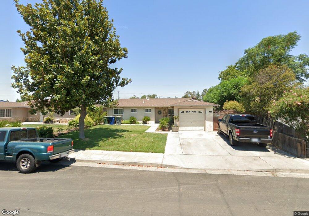
907 Brookside Dr Clovis, CA 93612
Estimated Value: $299,000 - $349,000
3
Beds
2
Baths
1,104
Sq Ft
$291/Sq Ft
Est. Value
About This Home
This home is located at 907 Brookside Dr, Clovis, CA 93612 and is currently estimated at $320,881, approximately $290 per square foot. 907 Brookside Dr is a home located in Fresno County with nearby schools including Clovis Elementary School, Clark Intermediate School, and Clovis High School.
Ownership History
Date
Name
Owned For
Owner Type
Purchase Details
Closed on
Jan 13, 2000
Sold by
Hud
Bought by
Arenivas Rafael G and Arenivas Carmen C
Current Estimated Value
Home Financials for this Owner
Home Financials are based on the most recent Mortgage that was taken out on this home.
Original Mortgage
$35,900
Outstanding Balance
$11,406
Interest Rate
7.84%
Estimated Equity
$309,475
Purchase Details
Closed on
Jun 7, 1999
Sold by
Alexander Renteria
Bought by
First Nationwide Mtg Corp
Create a Home Valuation Report for This Property
The Home Valuation Report is an in-depth analysis detailing your home's value as well as a comparison with similar homes in the area
Home Values in the Area
Average Home Value in this Area
Purchase History
| Date | Buyer | Sale Price | Title Company |
|---|---|---|---|
| Arenivas Rafael G | $53,000 | North American Title Co | |
| First Nationwide Mtg Corp | $70,997 | Fidelity National Title Co | |
| Hud | -- | Fidelity National Title Ins |
Source: Public Records
Mortgage History
| Date | Status | Borrower | Loan Amount |
|---|---|---|---|
| Open | Arenivas Rafael G | $35,900 |
Source: Public Records
Tax History
| Year | Tax Paid | Tax Assessment Tax Assessment Total Assessment is a certain percentage of the fair market value that is determined by local assessors to be the total taxable value of land and additions on the property. | Land | Improvement |
|---|---|---|---|---|
| 2025 | $967 | $79,891 | $24,575 | $55,316 |
| 2023 | $931 | $76,791 | $23,622 | $53,169 |
| 2022 | $919 | $75,286 | $23,159 | $52,127 |
| 2021 | $894 | $73,810 | $22,705 | $51,105 |
| 2020 | $891 | $73,054 | $22,473 | $50,581 |
| 2019 | $874 | $71,623 | $22,033 | $49,590 |
| 2018 | $855 | $70,219 | $21,601 | $48,618 |
| 2017 | $841 | $68,843 | $21,178 | $47,665 |
| 2016 | $814 | $67,494 | $20,763 | $46,731 |
| 2015 | $802 | $66,482 | $20,452 | $46,030 |
| 2014 | $787 | $65,181 | $20,052 | $45,129 |
Source: Public Records
Map
Nearby Homes
- 1228 Jefferson Ave
- 1272 Bullard Ave
- 760 Sunnyside Ave
- 142 9th St
- 134 10th St
- 103 Poppy Ln
- 127 5th St
- 1428 Miami Ave
- 1498 Escalon Ave
- 1606 Barstow Ave
- 1622 Dennis Ave
- 51 San Jose Ave
- 1234 No Address Available
- 1515 Keats Ave
- 1273 Bundy Ave
- 69 W Beverly Ave Unit 101
- 216 Keats Ave
- 860 Mcarthur Ave
- 1465 Mayflower Way
- 1721 Beverly Ave
- 915 Brookside Dr
- 861 Brookside Dr
- 925 Brookside Dr
- 855 Brookside Dr
- 906 Brookside Dr
- 914 Brookside Dr
- 858 Brookside Dr
- 935 Brookside Dr
- 843 Brookside Dr
- 930 Brookside Dr
- 848 Brookside Dr
- 945 Brookside Dr
- 905 Estabrook Dr
- 831 Brookside Dr
- 940 Brookside Dr
- 838 Brookside Dr
- 915 Estabrook Dr
- 955 Brookside Dr
- 845 Estabrook Dr
- 950 Brookside Dr
Your Personal Tour Guide
Ask me questions while you tour the home.