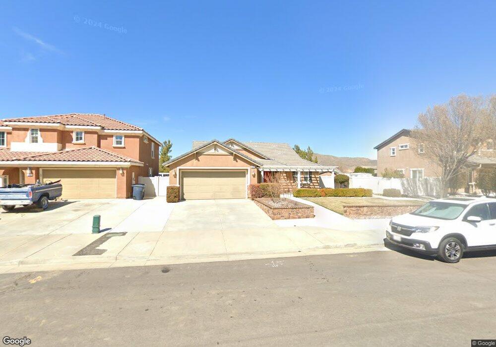
909 Cathy Ln Tehachapi, CA 93561
Estimated Value: $392,000 - $447,000
About This Home
This home is located at 909 Cathy Ln, Tehachapi, CA 93561 and is currently estimated at $420,175, approximately $276 per square foot. 909 Cathy Ln is a home located in Kern County with nearby schools including Tompkins Elementary School, Jacobsen Middle School, and Tehachapi High School.
Ownership History
We collect this data history from publicly available records. To have your information removed, we recommend requesting removal directly through your county’s website.
Purchase Details
Purchase Details
Home Financials for this Owner
Home Financials are based on the most recent Mortgage that was taken out on this home.Home Values in the Area
Average Home Value in this Area
Purchase History
We collect this data history from publicly available records. To have your information removed, we recommend requesting removal directly through your county’s website.
| Date | Buyer | Sale Price | Title Company |
|---|---|---|---|
| -- | None Available | ||
| $232,500 | First American Title Insuran |
Mortgage History
We collect this data history from publicly available records. To have your information removed, we recommend requesting removal directly through your county’s website.
| Date | Status | Borrower | Loan Amount |
|---|---|---|---|
| Open | $220,860 |
Tax History
We collect this data history from publicly available records. To have your information removed, we recommend requesting removal directly through your county’s website.
| Year | Tax Paid | Tax Assessment Tax Assessment Total Assessment is a certain percentage of the fair market value that is determined by local assessors to be the total taxable value of land and additions on the property. | Land | Improvement |
|---|---|---|---|---|
| 2025 | $4,078 | $299,388 | $64,379 | $235,009 |
| 2024 | $3,938 | $293,518 | $63,117 | $230,401 |
| 2023 | $3,938 | $287,764 | $61,880 | $225,884 |
| 2022 | $3,874 | $282,122 | $60,667 | $221,455 |
| 2021 | $3,804 | $276,591 | $59,478 | $217,113 |
| 2020 | $3,813 | $273,756 | $58,869 | $214,887 |
| 2019 | $3,796 | $273,756 | $58,869 | $214,887 |
| 2018 | $3,601 | $258,000 | $65,000 | $193,000 |
| 2017 | $3,440 | $242,000 | $61,000 | $181,000 |
| 2016 | $3,326 | $235,000 | $59,000 | $176,000 |
| 2015 | $2,964 | $214,000 | $54,000 | $160,000 |
| 2014 | $2,399 | $165,000 | $41,000 | $124,000 |
Map
- 0 Dennison Rd Unit 9993470
- 0 Dennison Rd Unit 202601608
- 911 Valerie Ln
- 908 Laura Ln
- 600 S Dennison Rd Unit 27
- 600 S Dennison Rd Unit 123
- 600 S Dennison Rd Unit 24
- 600 S Dennison Rd Unit 1
- 600 S Dennison Rd Unit Spc 109
- 600 S Dennison Rd Unit 4
- 410 Rosehaven Ln
- 333 S Dennison Rd Unit 34
- 333 S Dennison Rd Unit 6
- 333 S Dennison Rd Unit 63
- 1300 Scarlet Oak Dr Unit A
- 506 E E St
- 109 Oak Place
- 510 E F St
- 0 Steuber Rd
- 363 Pepper Dr
Ask me questions while you tour the home.