
91 Cliff Rd Nantucket, MA 02554
Estimated Value: $5,328,000 - $9,793,181
0.46
Acre
$16,436,067
Price per Acre
20,038
Sq Ft Lot
About This Lot
As of November 2013Design and build your dream home in a fantastic location! Newly created half acre located on the corner of Cliff Road and Shady Lane. The setting is ideally located off the bike path and offers easy access to town, North Shore Beaches and the Westmoor Club.
Property Details
Property Type
- Land
Est. Annual Taxes
- $5,619
Year Built
- 2001
Lot Details
- 0.46 Acre Lot
- Property is zoned R20
Utilities
- Septic Tank
Listing and Financial Details
- Tax Lot B
- Assessor Parcel Number 169
Create a Home Valuation Report for This Property
The Home Valuation Report is an in-depth analysis detailing your home's value as well as a comparison with similar homes in the area
Similar Property in Nantucket, MA
Home Values in the Area
Average Home Value in this Area
Mortgage History
| Date | Status | Borrower | Loan Amount |
|---|---|---|---|
| Closed | Exposito Ft Ii Llc | $8,417,500 | |
| Closed | 93 Cliff Road Nt | $4,000,000 |
Source: Public Records
Property History
| Date | Event | Price | Change | Sq Ft Price |
|---|---|---|---|---|
| 11/16/2013 11/16/13 | Sold | $1,475,000 | -7.8% | $251 / Sq Ft |
| 10/17/2013 10/17/13 | Pending | -- | -- | -- |
| 07/26/2012 07/26/12 | For Sale | $1,600,000 | -- | $273 / Sq Ft |
Source: LINK
Tax History Compared to Growth
Tax History
| Year | Tax Paid | Tax Assessment Tax Assessment Total Assessment is a certain percentage of the fair market value that is determined by local assessors to be the total taxable value of land and additions on the property. | Land | Improvement |
|---|---|---|---|---|
| 2025 | $34,065 | $10,385,600 | $3,577,500 | $6,808,100 |
| 2024 | $31,165 | $9,957,000 | $3,643,800 | $6,313,200 |
| 2023 | $26,939 | $8,392,300 | $3,481,500 | $4,910,800 |
| 2022 | $254 | $6,778,600 | $3,210,000 | $3,568,600 |
| 2021 | $22,188 | $6,112,400 | $2,568,000 | $3,544,400 |
| 2020 | $22,248 | $6,448,700 | $2,782,000 | $3,666,700 |
| 2019 | $21,275 | $6,331,700 | $2,665,000 | $3,666,700 |
| 2018 | $21,424 | $6,285,000 | $2,562,500 | $3,722,500 |
| 2017 | $21,110 | $6,227,100 | $2,490,800 | $3,736,300 |
| 2016 | $18,359 | $5,463,900 | $2,460,000 | $3,003,900 |
| 2015 | $16,895 | $4,680,000 | $1,653,800 | $3,026,200 |
| 2014 | $15,951 | $4,242,200 | $1,727,500 | $2,514,700 |
Source: Public Records
Agents Affiliated with this Home
-
Bill Liddle
B
Seller's Agent in 2013
Bill Liddle
Great Point Properties
73 Total Sales
-
Brian Sullivan
Buyer's Agent in 2013
Brian Sullivan
Fisher Real Estate
(508) 414-1878
93 Total Sales
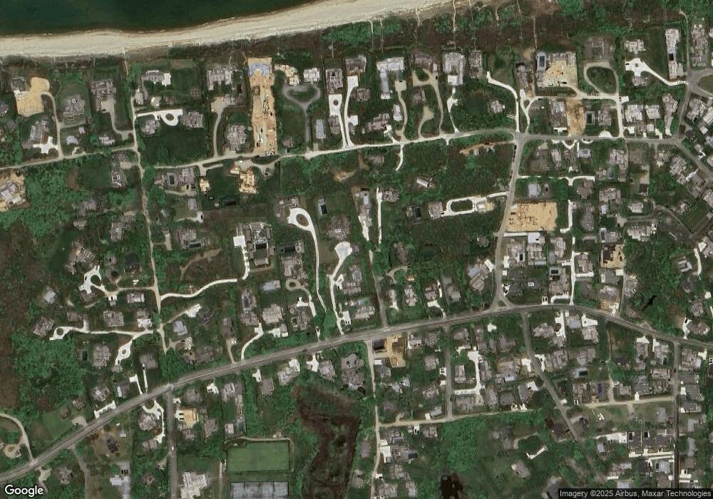
Map
Source: LINK
MLS Number: 76587
APN: NANT-000-030-000-000-0001-69-000-000
Nearby Homes
- 7 Shady Ln
- 84 Cliff Rd
- 19 Sherburne Turnpike
- 78 Cliff Rd
- 8 Derry Ln
- 1 E Hallowell Ln
- 6 & 8 Sherburne Turnpike
- 15 Delaney Rd
- 13 Derrymore Rd
- 60 Cliff Rd
- 47 W Chester St
- 6 Gingy Ln
- 49A W Chester St
- 51 N Liberty St
- 4 Sunset Hill Ln
- 35 W Chester St
- 5 Stone Barn Way Unit D
- 11 Meadow Ln
- 11 Meadow Ln Unit B
- 18 Meadow Ln