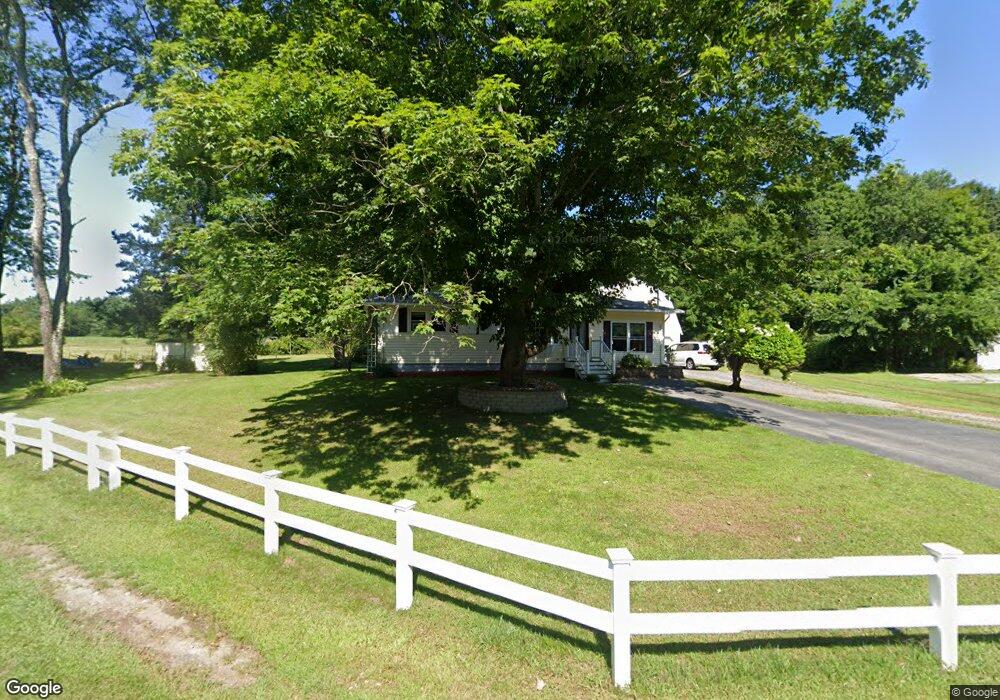
91 St Laurent St Epping, NH 03042
Estimated Value: $374,000 - $416,000
2
Beds
1
Bath
768
Sq Ft
$502/Sq Ft
Est. Value
About This Home
This home is located at 91 St Laurent St, Epping, NH 03042 and is currently estimated at $385,524, approximately $501 per square foot. 91 St Laurent St is a home located in Rockingham County with nearby schools including Epping Elementary School, Epping Middle School, and Epping High School.
Ownership History
Date
Name
Owned For
Owner Type
Purchase Details
Closed on
Feb 23, 2001
Sold by
Meroth Donald E and Meroth Bonnie M
Bought by
Sanborn Susan M
Current Estimated Value
Home Financials for this Owner
Home Financials are based on the most recent Mortgage that was taken out on this home.
Original Mortgage
$110,000
Interest Rate
6.89%
Create a Home Valuation Report for This Property
The Home Valuation Report is an in-depth analysis detailing your home's value as well as a comparison with similar homes in the area
Home Values in the Area
Average Home Value in this Area
Purchase History
| Date | Buyer | Sale Price | Title Company |
|---|---|---|---|
| Sanborn Susan M | $130,000 | -- |
Source: Public Records
Mortgage History
| Date | Status | Borrower | Loan Amount |
|---|---|---|---|
| Open | Sanborn Susan M | $125,000 | |
| Closed | Sanborn Susan M | $150,000 | |
| Closed | Sanborn Susan M | $110,000 |
Source: Public Records
Tax History Compared to Growth
Tax History
| Year | Tax Paid | Tax Assessment Tax Assessment Total Assessment is a certain percentage of the fair market value that is determined by local assessors to be the total taxable value of land and additions on the property. | Land | Improvement |
|---|---|---|---|---|
| 2024 | $4,526 | $179,400 | $85,700 | $93,700 |
| 2023 | $4,198 | $179,400 | $85,700 | $93,700 |
| 2022 | $4,035 | $179,400 | $85,700 | $93,700 |
| 2021 | $4,089 | $182,400 | $85,700 | $96,700 |
| 2020 | $6,793 | $182,400 | $85,700 | $96,700 |
| 2019 | $4,529 | $163,500 | $70,900 | $92,600 |
| 2018 | $4,241 | $163,500 | $70,900 | $92,600 |
| 2017 | $12,337 | $163,500 | $70,900 | $92,600 |
| 2016 | $5,509 | $165,500 | $70,900 | $94,600 |
| 2015 | $4,293 | $165,500 | $70,900 | $94,600 |
| 2014 | $4,083 | $167,200 | $70,900 | $96,300 |
| 2013 | $4,058 | $167,200 | $70,900 | $96,300 |
Source: Public Records
Map
Nearby Homes
- 15 Bartlett St
- 65 Sunset Ridge Rd Unit 65A
- 65 Sunset Ridge Rd Unit 65B
- 63 Sunset Ridge Rd Unit 63A
- 63 Sunset Ridge Rd Unit 63B
- 1B Connor Ct Unit 1B
- 9A Connor Ct Unit 9A
- 5B Connor Ct Unit 5B
- 13 Elm St
- 1A Connor Ct Unit 1A
- 3A Connor Ct Unit 3A
- 51 Sunset Ridge Rd Unit 51B
- 54 Sunset Ridge Rd Unit 54B
- 9B Connor Ct Unit 9B
- 55 Sunset Ridge Rd Unit 55A
- 55 Sunset Ridge Rd Unit 55B
- 3B Connor Ct Unit 3B
- 5A Connor Ct Unit 5A
- 290 Calef Hwy Unit A6
- 21A Highland Ave Unit 21A
- 85 Saint Laurent St
- 92 St Laurent St
- 89 Saint Laurent St
- 89 St Laurent St
- 88 St Laurent St
- 129 Railroad Ave
- 96 St Laurent St
- 96 Saint Laurent St
- 00 Fremont Rd
- 83 St Laurent St
- 126 Railroad Ave
- 99 St Laurent St
- 86 Saint Laurent St
- 134 Railroad Ave
- 116 Railroad Ave
- 84 St Laurent St
- 113 Railroad Ave
- 112 Railroad Ave
- 80 St Laurent St
- 77 St Laurent St