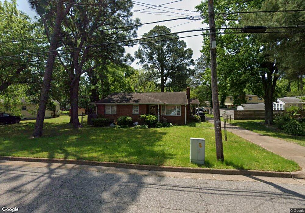
910 Shell Rd Hampton, VA 23661
Wythe NeighborhoodEstimated Value: $214,000 - $258,000
3
Beds
2
Baths
1,414
Sq Ft
$170/Sq Ft
Est. Value
About This Home
This home is located at 910 Shell Rd, Hampton, VA 23661 and is currently estimated at $240,386, approximately $170 per square foot. 910 Shell Rd is a home located in Hampton City with nearby schools including Hunter B. Andrews PK-8 School, C. Alton Lindsay Middle School, and Hampton High School.
Ownership History
Date
Name
Owned For
Owner Type
Purchase Details
Closed on
Jan 12, 2001
Sold by
Edmunds Ann J
Bought by
Brown Rickey S
Current Estimated Value
Home Financials for this Owner
Home Financials are based on the most recent Mortgage that was taken out on this home.
Original Mortgage
$77,343
Outstanding Balance
$28,495
Interest Rate
7.52%
Estimated Equity
$211,891
Create a Home Valuation Report for This Property
The Home Valuation Report is an in-depth analysis detailing your home's value as well as a comparison with similar homes in the area
Home Values in the Area
Average Home Value in this Area
Purchase History
| Date | Buyer | Sale Price | Title Company |
|---|---|---|---|
| Brown Rickey S | $78,000 | -- |
Source: Public Records
Mortgage History
| Date | Status | Borrower | Loan Amount |
|---|---|---|---|
| Open | Brown Rickey S | $77,343 |
Source: Public Records
Tax History
| Year | Tax Paid | Tax Assessment Tax Assessment Total Assessment is a certain percentage of the fair market value that is determined by local assessors to be the total taxable value of land and additions on the property. | Land | Improvement |
|---|---|---|---|---|
| 2025 | $2,345 | $199,300 | $49,400 | $149,900 |
| 2024 | $2,123 | $184,600 | $47,300 | $137,300 |
| 2023 | $1,897 | $163,500 | $47,300 | $116,200 |
| 2022 | $1,797 | $152,300 | $42,000 | $110,300 |
| 2021 | $1,759 | $131,400 | $35,700 | $95,700 |
| 2020 | $1,550 | $125,000 | $33,600 | $91,400 |
| 2019 | $1,534 | $123,700 | $33,600 | $90,100 |
| 2018 | $1,712 | $130,500 | $36,200 | $94,300 |
| 2017 | $1,712 | $0 | $0 | $0 |
| 2016 | $1,712 | $130,500 | $0 | $0 |
| 2015 | $1,712 | $0 | $0 | $0 |
| 2014 | $1,872 | $141,000 | $36,200 | $104,800 |
Source: Public Records
Map
Nearby Homes
- 1001 New St
- .51+AC Vaughan Ave
- 531 Greenbriar Ave
- 390 Cottonwood Ave
- 732 Vaughan Ave
- 711 Hemlock Ave
- 733 Spruce St
- 722 Birch Ave
- 332 Catalpa Ave
- 612 Hannah St
- 317 Cottonwood Ave
- 373 Schley Ave
- 1714 Victoria Blvd
- 624 Pennsylvania Ave
- 611 Delaware Ave
- 240 Hollywood Ave
- 227 Hollywood Ave
- 407 Pine Ave
- 237 Piedmont Ave
- 211 Greenbriar Ave
- 914 Shell Rd
- 526 Vaughan Ave
- 530 Vaughan Ave
- 518 Vaughan Ave
- 559 Greenbriar Ave
- 557 Greenbriar Ave
- 561 Greenbriar Ave
- 516 Vaughan Ave
- 516 Vaughan Ave Unit B
- 516 Vaughan Ave Unit A
- 553 Greenbriar Ave
- 563 Greenbriar Ave
- 903 Shell Rd
- 907 Shell Rd
- 551 Greenbriar Ave
- 525 Vaughan Ave
- 900 Shell Rd
- 529 Vaughan Ave
- 514 Vaughan Ave
- 549 Greenbriar Ave
Your Personal Tour Guide
Ask me questions while you tour the home.