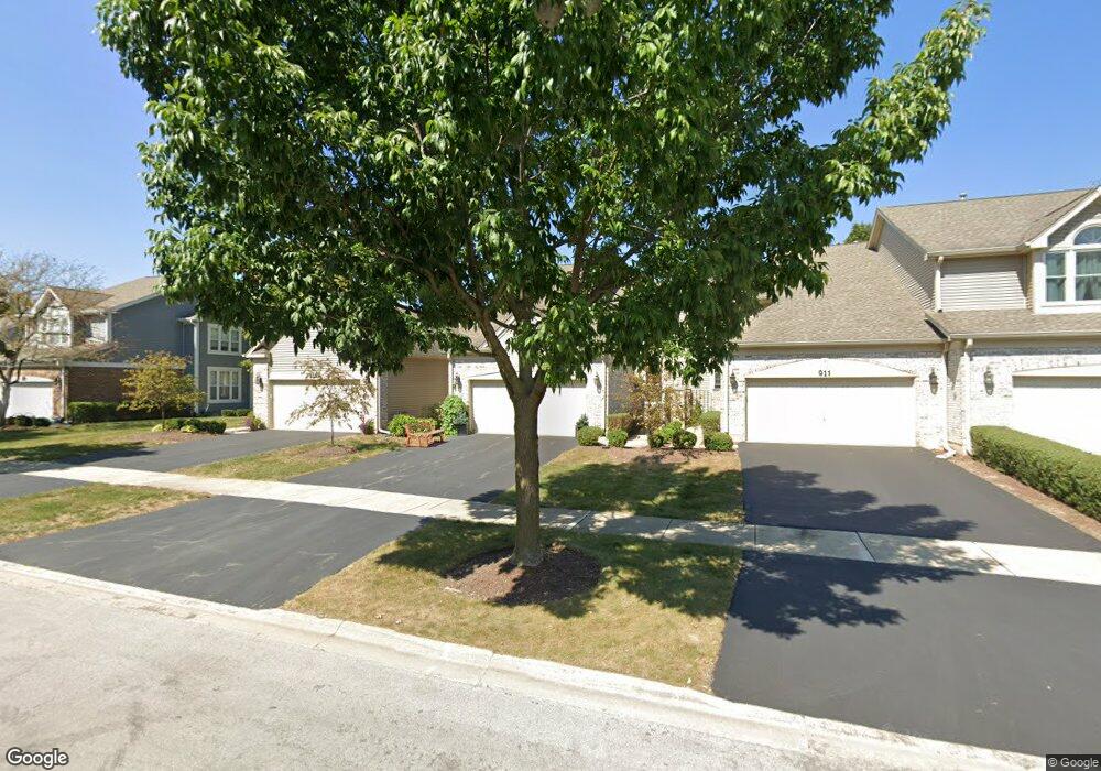
913 Heathrow Ln Naperville, IL 60540
West Wind NeighborhoodEstimated Value: $411,617 - $467,000
2
Beds
3
Baths
1,632
Sq Ft
$268/Sq Ft
Est. Value
About This Home
This home is located at 913 Heathrow Ln, Naperville, IL 60540 and is currently estimated at $436,654, approximately $267 per square foot. 913 Heathrow Ln is a home located in DuPage County with nearby schools including May Watts Elementary School, Thayer J. Hill Middle School, and Metea Valley High School.
Ownership History
Date
Name
Owned For
Owner Type
Purchase Details
Closed on
Sep 17, 2003
Sold by
Primacy Closing Corp
Bought by
Relja Barbara Jeanne
Current Estimated Value
Purchase Details
Closed on
Jan 22, 1996
Sold by
Sobeck Susan L
Bought by
Saine Thomas J and Saine Nancy M
Home Financials for this Owner
Home Financials are based on the most recent Mortgage that was taken out on this home.
Original Mortgage
$170,050
Interest Rate
7.36%
Create a Home Valuation Report for This Property
The Home Valuation Report is an in-depth analysis detailing your home's value as well as a comparison with similar homes in the area
Home Values in the Area
Average Home Value in this Area
Purchase History
| Date | Buyer | Sale Price | Title Company |
|---|---|---|---|
| Relja Barbara Jeanne | $270,000 | Git | |
| Primacy Closing Corp | $270,000 | Git | |
| Saine Thomas J | $179,000 | -- |
Source: Public Records
Mortgage History
| Date | Status | Borrower | Loan Amount |
|---|---|---|---|
| Previous Owner | Saine Thomas J | $170,050 |
Source: Public Records
Tax History
| Year | Tax Paid | Tax Assessment Tax Assessment Total Assessment is a certain percentage of the fair market value that is determined by local assessors to be the total taxable value of land and additions on the property. | Land | Improvement |
|---|---|---|---|---|
| 2024 | $7,134 | $130,287 | $33,665 | $96,622 |
| 2023 | $6,758 | $117,070 | $30,250 | $86,820 |
| 2022 | $7,069 | $114,440 | $29,330 | $85,110 |
| 2021 | $6,829 | $110,350 | $28,280 | $82,070 |
| 2020 | $6,820 | $110,350 | $28,280 | $82,070 |
| 2019 | $6,528 | $104,960 | $26,900 | $78,060 |
| 2018 | $5,534 | $89,180 | $22,390 | $66,790 |
| 2017 | $5,363 | $86,150 | $21,630 | $64,520 |
| 2016 | $5,244 | $82,680 | $20,760 | $61,920 |
| 2015 | $5,165 | $78,500 | $19,710 | $58,790 |
| 2014 | $4,978 | $73,800 | $18,380 | $55,420 |
| 2013 | $4,971 | $74,310 | $18,510 | $55,800 |
Source: Public Records
Map
Nearby Homes
- 1269 Rhodes Ln Unit 1306
- 1246 Ardmore Dr
- 854 Raintree Dr
- 816 S River Rd
- 840 Mobile Ct
- 808 Shiloh Cir
- 7S410 Arbor Dr
- 731 S River Rd
- 1033 Emerald Dr
- 833 Havenshire Rd Unit 833
- 840 Havenshire Rd
- 316 Hemlock Ln
- 817 Cardiff Rd
- 845 Tulip Ln
- 1095 Devonshire Ave
- 615 Windridge Ct
- 534 Grimes Ave
- 1524 Oswego Rd
- 7S146 Wild Cherry Rd
- 1028 Whitewater Ln
- 911 Heathrow Ln
- 915 Heathrow Ln
- 909 Heathrow Ln
- 917 Heathrow Ln
- 907 Heathrow Ln
- 919 Heathrow Ln
- 921 Heathrow Ln
- 905 Heathrow Ln
- 903 Heathrow Ln
- 1162 Ardmore Dr
- 1164 Ardmore Dr
- 923 Heathrow Ln
- 908 Heathrow Ln
- 1168 Ardmore Dr
- 910 Heathrow Ln
- 906 Heathrow Ln
- 1158 Ardmore Dr
- 912 Heathrow Ln
- 900 Heathrow Ln
- 904 Heathrow Ln
Your Personal Tour Guide
Ask me questions while you tour the home.