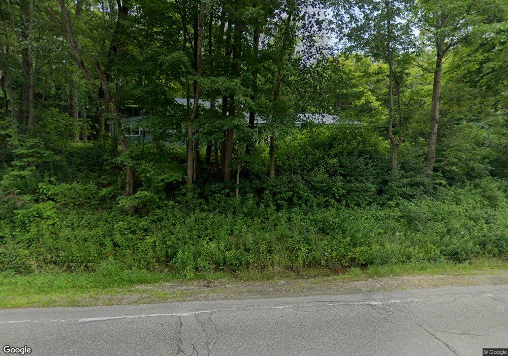
914 Route 10 N Grantham, NH 03753
Estimated Value: $450,994 - $494,000
3
Beds
3
Baths
1,602
Sq Ft
$292/Sq Ft
Est. Value
About This Home
This home is located at 914 Route 10 N, Grantham, NH 03753 and is currently estimated at $466,999, approximately $291 per square foot. 914 Route 10 N is a home located in Sullivan County with nearby schools including Grantham Village School and Lebanon High School.
Ownership History
Date
Name
Owned For
Owner Type
Purchase Details
Closed on
May 22, 2001
Sold by
Edna May Rt
Bought by
Shatford Elizabeth A
Current Estimated Value
Home Financials for this Owner
Home Financials are based on the most recent Mortgage that was taken out on this home.
Original Mortgage
$115,000
Outstanding Balance
$42,941
Interest Rate
7.03%
Estimated Equity
$424,058
Create a Home Valuation Report for This Property
The Home Valuation Report is an in-depth analysis detailing your home's value as well as a comparison with similar homes in the area
Home Values in the Area
Average Home Value in this Area
Purchase History
| Date | Buyer | Sale Price | Title Company |
|---|---|---|---|
| Shatford Elizabeth A | $145,000 | -- |
Source: Public Records
Mortgage History
| Date | Status | Borrower | Loan Amount |
|---|---|---|---|
| Open | Shatford Elizabeth A | $115,000 |
Source: Public Records
Tax History Compared to Growth
Tax History
| Year | Tax Paid | Tax Assessment Tax Assessment Total Assessment is a certain percentage of the fair market value that is determined by local assessors to be the total taxable value of land and additions on the property. | Land | Improvement |
|---|---|---|---|---|
| 2024 | $5,889 | $300,300 | $75,900 | $224,400 |
| 2023 | $5,282 | $300,300 | $75,900 | $224,400 |
| 2022 | $4,937 | $300,300 | $75,900 | $224,400 |
| 2021 | $4,540 | $198,100 | $57,400 | $140,700 |
| 2020 | $4,647 | $198,100 | $57,400 | $140,700 |
| 2019 | $3,822 | $147,800 | $44,500 | $103,300 |
| 2018 | $3,856 | $147,800 | $44,500 | $103,300 |
| 2017 | $3,506 | $147,800 | $44,500 | $103,300 |
| 2016 | $3,524 | $147,800 | $44,500 | $103,300 |
| 2015 | $3,536 | $146,600 | $44,500 | $102,100 |
| 2014 | $4,173 | $187,400 | $98,700 | $88,700 |
| 2013 | $4,018 | $187,400 | $98,700 | $88,700 |
Source: Public Records
Map
Nearby Homes
- 8 Old Spring Dr
- 1284 Route 10 N
- 442 Olde Farms Rd
- 49 Old Beach Cir
- 00 Route 10 N
- 637 Marmot Ln Unit 37
- 3 Water View
- 38 Terrace View
- 0 Route 10 N Unit 5058175
- 8 Sandy Brae
- 6 Anderson Pond Rd
- 23 High Pond Rd
- 16 Summit Dr
- 351 Miller Pond Rd
- 27 Spring Valley Dr
- 3 Trillium Ln
- 54 Black Duck Spur
- 64 High Pond Rd
- 18 Pleasant Dr
- 9 Pleasant Dr
- 00 Olde Farms Rd
- 991 Route 10 N
- 990 Route 10 N
- 156 Burpee Hill Rd
- 150 Burpee Hill Rd
- 132 Burpee Hill Rd
- 1025 Route 10 N
- 841 Route 10 N
- 143 Burpee Hill Rd
- 800 Route 10 N
- 46 Burpee Hill Rd
- 95 Burpee Hill Rd
- 225 Burpee Hill Rd
- 205 Burpee Hill Rd
- 1078 Route 10 N
- 141 Olde Farms Rd
- 101 Burpee Hill Rd
- 264 Burpee Hill Rd
- 784 Route 10 N
- 11 Oak Ln