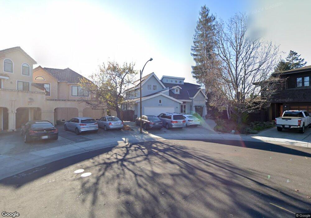
915 Bautista Ct Palo Alto, CA 94303
Midtown Palo Alto NeighborhoodEstimated Value: $4,289,000 - $5,037,203
5
Beds
5
Baths
3,089
Sq Ft
$1,484/Sq Ft
Est. Value
About This Home
This home is located at 915 Bautista Ct, Palo Alto, CA 94303 and is currently estimated at $4,583,068, approximately $1,483 per square foot. 915 Bautista Ct is a home located in Santa Clara County with nearby schools including Palo Verde Elementary School, Jane Lathrop Stanford Middle School, and Palo Alto High School.
Ownership History
Date
Name
Owned For
Owner Type
Purchase Details
Closed on
Sep 9, 2016
Sold by
Ranga Hiralal and Ranga Laxmi
Bought by
Ranga Hiralal and Ranga Laxmi
Current Estimated Value
Purchase Details
Closed on
Sep 19, 1996
Sold by
Ranga Hiralal and Ranga Lasomi
Bought by
Ranga Hiralal and Ranga Laxmi
Home Financials for this Owner
Home Financials are based on the most recent Mortgage that was taken out on this home.
Original Mortgage
$423,000
Interest Rate
7.75%
Mortgage Type
Construction
Create a Home Valuation Report for This Property
The Home Valuation Report is an in-depth analysis detailing your home's value as well as a comparison with similar homes in the area
Home Values in the Area
Average Home Value in this Area
Purchase History
| Date | Buyer | Sale Price | Title Company |
|---|---|---|---|
| Ranga Hiralal | -- | None Available | |
| Ranga Hiralal | -- | American Title Ins Co |
Source: Public Records
Mortgage History
| Date | Status | Borrower | Loan Amount |
|---|---|---|---|
| Closed | Ranga Hiralal | $423,000 |
Source: Public Records
Tax History Compared to Growth
Tax History
| Year | Tax Paid | Tax Assessment Tax Assessment Total Assessment is a certain percentage of the fair market value that is determined by local assessors to be the total taxable value of land and additions on the property. | Land | Improvement |
|---|---|---|---|---|
| 2025 | $13,873 | $1,123,680 | $564,820 | $558,860 |
| 2024 | $13,873 | $1,101,648 | $553,746 | $547,902 |
| 2023 | $13,873 | $1,080,048 | $542,889 | $537,159 |
| 2022 | $13,500 | $1,058,872 | $532,245 | $526,627 |
| 2021 | $13,232 | $1,038,110 | $521,809 | $516,301 |
| 2020 | $12,969 | $1,027,466 | $516,459 | $511,007 |
| 2019 | $12,821 | $1,007,321 | $506,333 | $500,988 |
| 2018 | $12,480 | $987,570 | $496,405 | $491,165 |
| 2017 | $12,259 | $968,207 | $486,672 | $481,535 |
| 2016 | $11,933 | $949,224 | $477,130 | $472,094 |
| 2015 | $11,811 | $934,967 | $469,964 | $465,003 |
| 2014 | $11,514 | $916,654 | $460,759 | $455,895 |
Source: Public Records
Map
Nearby Homes
- 3160 Louis Rd
- 3113 Greer Rd
- 3136 Genevieve Ct
- 883 Rorke Way
- 782 Holly Oak Dr
- 3407 Janice Way
- 3520 Greer Rd
- 3180 Berryessa St
- 1125 Esther Ct
- 1129 Esther Ct
- 1131 Esther Ct
- Plan 4 at 28FIFTY
- Plan 3 at 28FIFTY
- Plan 1 at 28FIFTY
- Plan 2 at 28FIFTY
- Plan 5 at 28FIFTY
- 2878 Josephine Ln
- 2871 Josephine Ln
- 1037 Amarillo Ave
- 836 Warren Way
- 919 Bautista Ct
- 910 Bautista Ct
- 3157 Louis Rd
- 3165 Louis Rd
- 3149 Louis Rd
- 3175 Louis Rd
- 923 Bautista Ct
- 914 Bautista Ct
- 3141 Louis Rd
- 3181 Louis Rd
- 918 Bautista Ct
- 927 Bautista Ct
- 924 Bautista Ct
- 3240 Clifton Ct
- 3133 Louis Rd
- 3189 Louis Rd
- 922 Bautista Ct
- 3197 Stelling Dr
- 3232 Clifton Ct
- 931 Bautista Ct