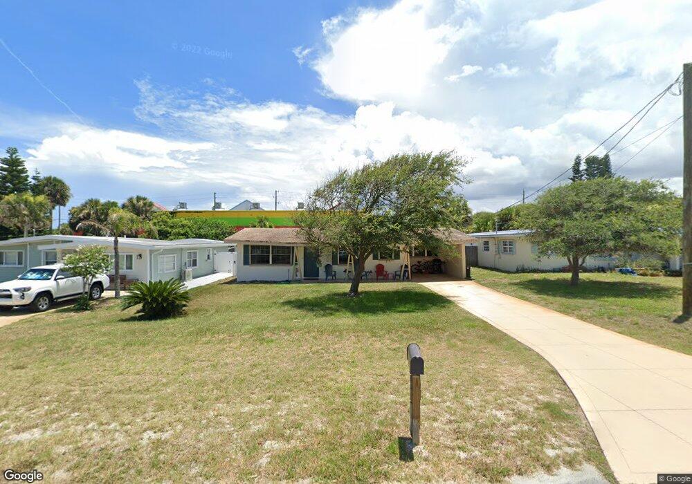
917 E 2nd Ave New Smyrna Beach, FL 32169
Central Beach NeighborhoodEstimated Value: $477,000 - $552,000
3
Beds
1
Bath
1,176
Sq Ft
$441/Sq Ft
Est. Value
About This Home
This home is located at 917 E 2nd Ave, New Smyrna Beach, FL 32169 and is currently estimated at $519,011, approximately $441 per square foot. 917 E 2nd Ave is a home located in Volusia County with nearby schools including Coronado Beach Elementary School, New Smyrna Beach Middle School, and New Smyrna Beach High School.
Ownership History
Date
Name
Owned For
Owner Type
Purchase Details
Closed on
Jul 3, 2024
Sold by
Zervos William P
Bought by
Zervos William P
Current Estimated Value
Purchase Details
Closed on
Nov 11, 2020
Sold by
Wood Deborah and Broadway Shelly Furqueron
Bought by
Zervos William
Purchase Details
Closed on
Nov 6, 2002
Sold by
Hartling Maurice E and Hartling Barbara Ann
Bought by
Cain Roxanne and Furqueron Shelly
Create a Home Valuation Report for This Property
The Home Valuation Report is an in-depth analysis detailing your home's value as well as a comparison with similar homes in the area
Home Values in the Area
Average Home Value in this Area
Purchase History
| Date | Buyer | Sale Price | Title Company |
|---|---|---|---|
| Zervos William P | $1,428 | None Listed On Document | |
| Zervos William P | $1,428 | None Listed On Document | |
| Zervos William | $345,250 | First American Title Ins Co | |
| Cain Roxanne | -- | -- |
Source: Public Records
Tax History
| Year | Tax Paid | Tax Assessment Tax Assessment Total Assessment is a certain percentage of the fair market value that is determined by local assessors to be the total taxable value of land and additions on the property. | Land | Improvement |
|---|---|---|---|---|
| 2026 | $4,390 | $311,658 | -- | -- |
| 2025 | $4,390 | $303,465 | -- | -- |
| 2024 | $4,267 | $294,913 | -- | -- |
| 2023 | $4,267 | $286,324 | $0 | $0 |
| 2022 | $4,079 | $277,984 | $0 | $0 |
| 2021 | $4,143 | $269,887 | $182,700 | $87,187 |
| 2020 | $542 | $92,304 | $0 | $0 |
| 2019 | $541 | $90,229 | $0 | $0 |
| 2018 | $543 | $88,547 | $0 | $0 |
| 2017 | $545 | $86,726 | $0 | $0 |
| 2016 | $588 | $84,942 | $0 | $0 |
| 2015 | $610 | $84,352 | $0 | $0 |
| 2014 | $617 | $83,683 | $0 | $0 |
Source: Public Records
Map
Nearby Homes
- 1204 Hemlock St
- 923 Locust St
- 921 E 2nd Ave
- 922 Locust St
- 908 E 2nd Ave
- 911 E 2nd Ave
- 910 Locust St
- 1409 Southard Ave
- 808 E 1st Ave
- 1416 Southard Ave
- 835 Maralyn Ave
- 1571 S Atlantic Ave Unit 111
- 711 S Atlantic Ave Unit 202
- 830 Hope Ave
- 818 Hope Ave
- 701 S Atlantic Ave Unit 21
- 1504 Southard Ave
- 1502 Saxon Dr
- 839 7th Ave
- 1508 Saxon Dr
Your Personal Tour Guide
Ask me questions while you tour the home.