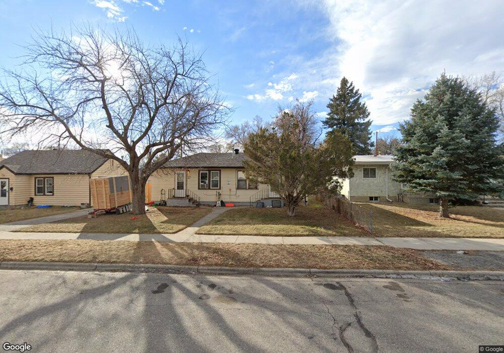
918 Custer Ave Billings, MT 59101
East Central Billings NeighborhoodEstimated Value: $282,027 - $357,000
5
Beds
3
Baths
1,745
Sq Ft
$176/Sq Ft
Est. Value
About This Home
This home is located at 918 Custer Ave, Billings, MT 59101 and is currently estimated at $307,007, approximately $175 per square foot. 918 Custer Ave is a home located in Yellowstone County with nearby schools including Washington School, Lewis & Clark Junior High School, and Billings Senior High School.
Ownership History
Date
Name
Owned For
Owner Type
Purchase Details
Closed on
Feb 13, 2012
Sold by
Welzenbahi Steven and Welzenbach James B
Bought by
S & J Holdings Llc
Current Estimated Value
Purchase Details
Closed on
Dec 14, 2011
Sold by
Little Horn State Bank
Bought by
Big Sky Exterior Designs Inc and Welzenbach Steven
Purchase Details
Closed on
Apr 29, 2011
Sold by
Guthals Joel E
Bought by
Little Horn State Bank
Create a Home Valuation Report for This Property
The Home Valuation Report is an in-depth analysis detailing your home's value as well as a comparison with similar homes in the area
Home Values in the Area
Average Home Value in this Area
Purchase History
| Date | Buyer | Sale Price | Title Company |
|---|---|---|---|
| S & J Holdings Llc | -- | None Available | |
| 914 Custer Llc | -- | None Available | |
| Big Sky Exterior Designs Inc | -- | None Available | |
| Little Horn State Bank | $278,205 | None Available |
Source: Public Records
Tax History
| Year | Tax Paid | Tax Assessment Tax Assessment Total Assessment is a certain percentage of the fair market value that is determined by local assessors to be the total taxable value of land and additions on the property. | Land | Improvement |
|---|---|---|---|---|
| 2025 | $2,616 | $295,770 | $37,400 | $258,370 |
| 2024 | $2,616 | $267,700 | $37,300 | $230,400 |
| 2023 | $2,620 | $267,700 | $37,300 | $230,400 |
| 2022 | $2,002 | $212,040 | $0 | $0 |
| 2021 | $2,260 | $212,370 | $0 | $0 |
| 2020 | $2,181 | $190,680 | $0 | $0 |
| 2019 | $2,081 | $190,680 | $0 | $0 |
| 2018 | $1,880 | $167,200 | $0 | $0 |
| 2017 | $1,820 | $167,200 | $0 | $0 |
| 2016 | $1,719 | $159,390 | $0 | $0 |
| 2015 | $1,683 | $159,390 | $0 | $0 |
| 2014 | $1,606 | $80,792 | $0 | $0 |
Source: Public Records
Map
Nearby Homes
- 925 Miles Ave
- 947 Howard Ave
- 1003 Wyoming Ave
- 1009 Wyoming Ave
- 708 Terry Ave
- 1029 Yellowstone Ave Unit 2
- 626 Wyoming Ave
- 608 Broadwater Ave
- 1116 8th St W
- 1132 Saint Johns Ave
- 734 Burlington Ave
- 632 Saint Johns Ave Unit 8
- 1107 12th St W
- 1288 Yellowstone Ave Unit 2
- 1205 Lynn Ave
- 1245 Cook Ave
- 1225 Clark Ave
- 43 Prickett Ln
- 1310 Yellowstone Ave Unit 16
- 1310 Yellowstone Ave Unit 6
- 926 Custer Ave
- 926, 926.5, 928 Custer Ave
- 914 Custer Ave
- 930 Custer Ave
- 910 Custer Ave
- 919 Terry Ave
- 917 Terry Ave
- 934 Custer Ave
- 925 Terry Ave
- 911 Terry Ave
- 906 Custer Ave
- 938 Custer Ave
- 927 Terry Ave
- 905 Terry Ave
- 923 Terry Ave
- 516 9th St W
- 902 Custer Ave
- 921 Custer Ave
- 917 Custer Ave
- 931 Terry Ave
Your Personal Tour Guide
Ask me questions while you tour the home.