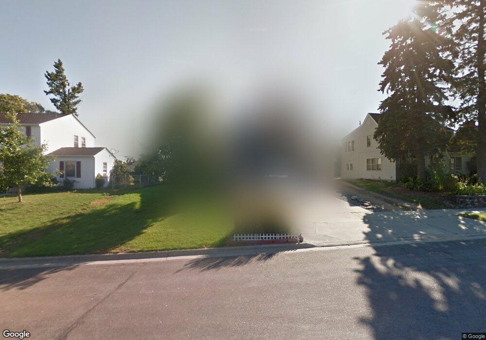
918 Manomin Ave Saint Paul, MN 55118
Estimated Value: $373,000 - $570,000
3
Beds
3
Baths
2,280
Sq Ft
$193/Sq Ft
Est. Value
About This Home
This home is located at 918 Manomin Ave, Saint Paul, MN 55118 and is currently estimated at $440,676, approximately $193 per square foot. 918 Manomin Ave is a home located in Dakota County with nearby schools including Somerset Elementary School, Heritage E-STEM Magnet School, and Two Rivers High School.
Ownership History
Date
Name
Owned For
Owner Type
Purchase Details
Closed on
Jul 7, 2008
Sold by
Anderson Keith D and Anderson Gloria
Bought by
Schultz Samuel
Current Estimated Value
Home Financials for this Owner
Home Financials are based on the most recent Mortgage that was taken out on this home.
Original Mortgage
$264,000
Outstanding Balance
$173,988
Interest Rate
6.5%
Mortgage Type
New Conventional
Estimated Equity
$266,688
Create a Home Valuation Report for This Property
The Home Valuation Report is an in-depth analysis detailing your home's value as well as a comparison with similar homes in the area
Home Values in the Area
Average Home Value in this Area
Purchase History
| Date | Buyer | Sale Price | Title Company |
|---|---|---|---|
| Schultz Samuel | $330,000 | -- |
Source: Public Records
Mortgage History
| Date | Status | Borrower | Loan Amount |
|---|---|---|---|
| Open | Schultz Samuel | $264,000 |
Source: Public Records
Tax History Compared to Growth
Tax History
| Year | Tax Paid | Tax Assessment Tax Assessment Total Assessment is a certain percentage of the fair market value that is determined by local assessors to be the total taxable value of land and additions on the property. | Land | Improvement |
|---|---|---|---|---|
| 2024 | $5,536 | $418,700 | $71,600 | $347,100 |
| 2023 | $5,536 | $446,700 | $75,900 | $370,800 |
| 2022 | $4,922 | $400,400 | $75,600 | $324,800 |
| 2021 | $4,786 | $376,000 | $65,800 | $310,200 |
| 2020 | $4,540 | $363,700 | $62,600 | $301,100 |
| 2019 | $4,446 | $337,200 | $59,600 | $277,600 |
| 2018 | $3,813 | $315,900 | $55,800 | $260,100 |
| 2017 | $3,545 | $285,700 | $53,100 | $232,600 |
| 2016 | $3,568 | $257,500 | $48,300 | $209,200 |
| 2015 | $3,426 | $245,070 | $44,851 | $200,219 |
| 2014 | -- | $227,848 | $41,129 | $186,719 |
| 2013 | -- | $213,460 | $37,588 | $175,872 |
Source: Public Records
Map
Nearby Homes
- 999 Seminole Ave
- 913 Ottawa Ave
- 822 Smith Ave S
- 967 Cherokee Ave
- 801 Cherokee Ave
- 259 Curtice St W
- 1062 Ohio St
- 206 Winona St W
- 908 Bellows St
- 950 Bellows St
- 750 Delaware Ave
- 1095 Cherokee Ave
- 693 Smith Ave S
- 837 Bidwell St
- 1517 Timberwood Ln
- 867 Winslow Ave
- 1016 Bidwell St
- 663 Smith Ave S
- 272 Baker St W
- 1000 Winston Cir
- 918 Manomin Ave
- 912 Manomin Ave
- 928 Manomin Ave
- 350 Hurley St W
- 350 Hurley Ave W
- 930 Manomin Ave
- 930 Manomin Ave
- 344 Hurley St W
- 934 Manomin Ave
- 344 Hurley Ave W
- 915 Manomin Ave
- 925 Manomin Ave
- 344 344 Hurley-Avenue-w
- 340 Hurley St W
- 909 Manomin Ave
- 909 Manomin Ave
- 361 Hurley Ave W
- 340 Hurley Ave W
- 938 Manomin Ave
- 931 Manomin Ave