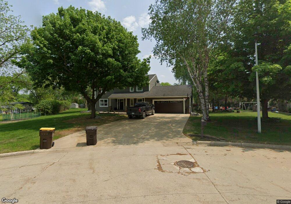
919 Summit Dr Fairmont, MN 56031
Estimated Value: $377,473 - $471,000
3
Beds
4
Baths
3,288
Sq Ft
$130/Sq Ft
Est. Value
About This Home
This home is located at 919 Summit Dr, Fairmont, MN 56031 and is currently estimated at $427,868, approximately $130 per square foot. 919 Summit Dr is a home located in Martin County with nearby schools including Fairmont Elementary School, Fairmont Junior/Senior High School, and St. Paul Lutheran School.
Ownership History
Date
Name
Owned For
Owner Type
Purchase Details
Closed on
Oct 9, 2015
Sold by
Mortensen Tonya and Mortensen Ryan L
Bought by
Mortensen Tonya
Current Estimated Value
Home Financials for this Owner
Home Financials are based on the most recent Mortgage that was taken out on this home.
Original Mortgage
$148,000
Outstanding Balance
$115,968
Interest Rate
3.76%
Estimated Equity
$311,900
Create a Home Valuation Report for This Property
The Home Valuation Report is an in-depth analysis detailing your home's value as well as a comparison with similar homes in the area
Home Values in the Area
Average Home Value in this Area
Purchase History
| Date | Buyer | Sale Price | Title Company |
|---|---|---|---|
| Mortensen Tonya | -- | None Available | |
| Mortensen Ryan Ryan | $185,000 | -- |
Source: Public Records
Mortgage History
| Date | Status | Borrower | Loan Amount |
|---|---|---|---|
| Open | Mortensen Ryan Ryan | $148,000 |
Source: Public Records
Tax History
| Year | Tax Paid | Tax Assessment Tax Assessment Total Assessment is a certain percentage of the fair market value that is determined by local assessors to be the total taxable value of land and additions on the property. | Land | Improvement |
|---|---|---|---|---|
| 2025 | $5,124 | $384,800 | $58,700 | $326,100 |
| 2024 | $4,394 | $385,800 | $58,700 | $327,100 |
| 2023 | $4,360 | $346,400 | $52,700 | $293,700 |
| 2022 | $3,566 | $321,500 | $53,400 | $268,100 |
| 2021 | $3,398 | $252,200 | $55,900 | $196,300 |
| 2020 | $3,316 | $251,600 | $55,900 | $195,700 |
| 2019 | $2,902 | $236,800 | $52,600 | $184,200 |
| 2018 | $3,206 | $229,400 | $50,900 | $178,500 |
| 2017 | $2,816 | $200,100 | $43,752 | $156,348 |
| 2016 | $2,522 | $185,700 | $42,498 | $143,202 |
| 2015 | $2,453 | $167,800 | $24,175 | $143,625 |
| 2013 | $2,375 | $167,900 | $24,177 | $143,723 |
Source: Public Records
Map
Nearby Homes
- 767 Shoreacres Dr
- 1640 Patriot Dr
- 1700 Knollwood Dr
- 1910 Knollwood Dr
- 1334 Oak Beach Dr
- 1323 Oak Beach Dr
- 1317 Beach Place
- 966 Albion Ave
- 805 Hengen St
- 848 S Park St
- 123 Linden Ave
- 979 S Prairie Ave
- 411 Albion Ave
- 841 Redwood Dr
- 1312 S State St
- 944 S Hampton St
- 1304 S State St
- 915 S Hampton St
- 2224 Red Bird Ln
- 2218 Red Bird Ln
- 921 Summit Dr
- 936 Liberty Ln
- 624 Heritage Ct
- 934 Liberty Ln
- 628 Heritage Ct
- 940 Liberty Ln
- 632 Heritage Ct
- 622 Heritage Ct
- 918 Summit Dr
- 620 Heritage Ct
- 923 Summit Dr
- 922 Summit Dr
- 634 Heritage Ct
- 625 625 Heritage Ct
- 914 Summit Dr
- 627 Heritage Ct
- 623 Heritage Ct
- 933 Liberty Ln
- 935 Liberty Ln
- 941 Liberty Ln
Your Personal Tour Guide
Ask me questions while you tour the home.