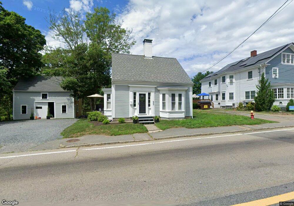
92 Summer St Unit 1 Kingston, MA 02364
Estimated Value: $635,000 - $702,000
4
Beds
3
Baths
1,946
Sq Ft
$342/Sq Ft
Est. Value
About This Home
This home is located at 92 Summer St Unit 1, Kingston, MA 02364 and is currently estimated at $665,008, approximately $341 per square foot. 92 Summer St Unit 1 is a home located in Plymouth County with nearby schools including Kingston Elementary School, Silver Lake Regional High School, and Kingston Intermediate School.
Ownership History
Date
Name
Owned For
Owner Type
Purchase Details
Closed on
Feb 15, 2017
Sold by
Saba Paul J
Bought by
Chase Scott and Chase Gina
Current Estimated Value
Home Financials for this Owner
Home Financials are based on the most recent Mortgage that was taken out on this home.
Original Mortgage
$321,070
Outstanding Balance
$265,833
Interest Rate
4.2%
Mortgage Type
New Conventional
Estimated Equity
$399,175
Purchase Details
Closed on
Dec 14, 1984
Bought by
Saba Paul J
Create a Home Valuation Report for This Property
The Home Valuation Report is an in-depth analysis detailing your home's value as well as a comparison with similar homes in the area
Home Values in the Area
Average Home Value in this Area
Purchase History
| Date | Buyer | Sale Price | Title Company |
|---|---|---|---|
| Chase Scott | $331,000 | -- | |
| Saba Paul J | $105,000 | -- |
Source: Public Records
Mortgage History
| Date | Status | Borrower | Loan Amount |
|---|---|---|---|
| Open | Chase Scott | $321,070 | |
| Previous Owner | Saba Paul J | $15,000 | |
| Previous Owner | Saba Paul J | $67,000 |
Source: Public Records
Tax History
| Year | Tax Paid | Tax Assessment Tax Assessment Total Assessment is a certain percentage of the fair market value that is determined by local assessors to be the total taxable value of land and additions on the property. | Land | Improvement |
|---|---|---|---|---|
| 2025 | $6,868 | $529,500 | $215,300 | $314,200 |
| 2024 | $6,617 | $520,600 | $215,300 | $305,300 |
| 2023 | $6,371 | $476,900 | $215,300 | $261,600 |
| 2022 | $6,306 | $432,500 | $190,900 | $241,600 |
| 2021 | $6,397 | $407,500 | $190,900 | $216,600 |
| 2020 | $6,613 | $396,100 | $190,900 | $205,200 |
| 2019 | $6,256 | $380,100 | $190,900 | $189,200 |
| 2018 | $5,607 | $355,000 | $190,900 | $164,100 |
| 2017 | $5,371 | $325,500 | $170,300 | $155,200 |
| 2016 | $5,982 | $339,700 | $161,000 | $178,700 |
| 2015 | $5,622 | $331,900 | $161,000 | $170,900 |
| 2014 | $5,576 | $334,300 | $155,600 | $178,700 |
Source: Public Records
Map
Nearby Homes
- 149 Summer St
- 40 Landing Rd
- Lot 17-1 Howland's Ln
- 24 Tremont St
- 100 Parks St Unit 32
- 74 Tussock Brook Rd Unit 74
- 278 Main St
- 40 Bay Farm Rd Unit 40
- 1 Watermans Ln
- 735 Bay Rd
- 58 Bay Farm Rd
- 1 Chestnut St
- 53 Bay Farm Rd Unit 53
- 35 River St
- 13 Atwood St
- 130 Buckboard Rd
- 17 Thomas St
- 38 Cedar Ln
- 7 Green Holly Dr
- 6 Kingstown Way