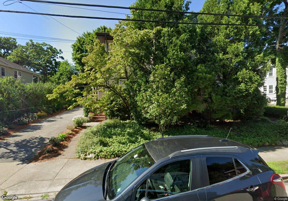
92 Warwick Rd West Newton, MA 02465
West Newton NeighborhoodEstimated Value: $769,834 - $892,000
3
Beds
1
Bath
1,439
Sq Ft
$587/Sq Ft
Est. Value
About This Home
This home is located at 92 Warwick Rd, West Newton, MA 02465 and is currently estimated at $844,459, approximately $586 per square foot. 92 Warwick Rd is a home located in Middlesex County with nearby schools including Franklin Elementary School, Horace Mann Elementary School, and F.A. Day Middle School.
Ownership History
Date
Name
Owned For
Owner Type
Purchase Details
Closed on
Jan 10, 1997
Sold by
Thompson Scott D
Bought by
Harte Stanley and Obrien-Harte Mary
Current Estimated Value
Purchase Details
Closed on
Jun 27, 1991
Sold by
Kelleher Nora and Stuhl Waite P
Bought by
Thompson Scott D
Purchase Details
Closed on
Jan 6, 1988
Sold by
Warwick Rt
Bought by
Kelleher Nora
Create a Home Valuation Report for This Property
The Home Valuation Report is an in-depth analysis detailing your home's value as well as a comparison with similar homes in the area
Home Values in the Area
Average Home Value in this Area
Purchase History
| Date | Buyer | Sale Price | Title Company |
|---|---|---|---|
| Harte Stanley | $193,750 | -- | |
| Harte Stanley | $193,750 | -- | |
| Thompson Scott D | $172,000 | -- | |
| Thompson Scott D | $172,000 | -- | |
| Kelleher Nora | $171,000 | -- |
Source: Public Records
Mortgage History
| Date | Status | Borrower | Loan Amount |
|---|---|---|---|
| Open | Kelleher Nora | $335,000 | |
| Closed | Kelleher Nora | $75,000 |
Source: Public Records
Tax History Compared to Growth
Tax History
| Year | Tax Paid | Tax Assessment Tax Assessment Total Assessment is a certain percentage of the fair market value that is determined by local assessors to be the total taxable value of land and additions on the property. | Land | Improvement |
|---|---|---|---|---|
| 2025 | $6,198 | $632,400 | $0 | $632,400 |
| 2024 | $5,993 | $614,000 | $0 | $614,000 |
| 2023 | $5,849 | $574,600 | $0 | $574,600 |
| 2022 | $5,757 | $547,200 | $0 | $547,200 |
| 2021 | $5,554 | $516,200 | $0 | $516,200 |
| 2020 | $5,389 | $516,200 | $0 | $516,200 |
| 2019 | $5,238 | $501,200 | $0 | $501,200 |
| 2018 | $5,252 | $485,400 | $0 | $485,400 |
| 2017 | $5,092 | $457,900 | $0 | $457,900 |
| 2016 | $4,870 | $427,900 | $0 | $427,900 |
| 2015 | $4,731 | $407,500 | $0 | $407,500 |
Source: Public Records
Map
Nearby Homes
- 321 Albemarle Rd
- 27 Cross St Unit 27
- 53-55 N Gate Park
- 43 Walker St
- 354 Linwood Ave Unit 1
- 4 Wiswall St
- 12 Wiswall St
- 57 Walnut St
- 611 Watertown St Unit 14
- 32-34 Rossmere St
- 97 North St
- 41 Kilburn Rd
- 76 Harding St
- 33 Joseph Rd
- 123 Mount Vernon St Unit 2
- 287 Cherry St Unit 2
- 935 Washington St (Rear Facing) Unit 11
- 935 Washington St Unit 8
- 76 Taft Ave Unit 1
- 76 Taft Ave
- 90 Warwick Rd
- 90 Warwick Rd Unit 90
- 90 Warwick Rd Unit 2
- 86 Warwick Rd Unit 88
- 86 Warwick Rd Unit 88
- 86 Warwick Rd Unit 2
- 100 Warwick Rd Unit 100
- 98 Warwick Rd Unit 100
- 98-100 Warwick Rd
- 88 Warwick Rd
- 88 Warwick Rd Unit 1
- 80 Warwick Rd Unit 1
- 80 Warwick Rd Unit 80
- 80 Warwick Rd
- 91 Warwick Rd
- 78 Warwick Rd Unit 2
- 78 Warwick Rd Unit 80
- 105 Fairway Dr
- 93 Fairway Dr
- 95 Warwick Rd Unit 97