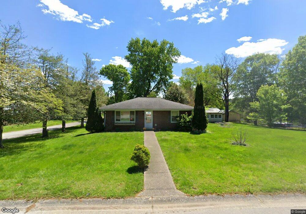
9205 Walnut St Georgetown, IN 47122
Estimated Value: $151,000 - $210,712
3
Beds
1
Bath
1,322
Sq Ft
$138/Sq Ft
Est. Value
About This Home
This home is located at 9205 Walnut St, Georgetown, IN 47122 and is currently estimated at $182,928, approximately $138 per square foot. 9205 Walnut St is a home located in Floyd County with nearby schools including Georgetown Elementary School, Highland Hills Middle School, and Floyd Central High School.
Ownership History
Date
Name
Owned For
Owner Type
Purchase Details
Closed on
Jun 4, 2008
Sold by
Us Bank Na
Bought by
Mclendon James A
Current Estimated Value
Home Financials for this Owner
Home Financials are based on the most recent Mortgage that was taken out on this home.
Original Mortgage
$81,200
Interest Rate
6.51%
Mortgage Type
FHA
Purchase Details
Closed on
Jan 29, 2008
Sold by
Chase Robert L and Chase Michelle L
Bought by
Us Bank National Association
Create a Home Valuation Report for This Property
The Home Valuation Report is an in-depth analysis detailing your home's value as well as a comparison with similar homes in the area
Home Values in the Area
Average Home Value in this Area
Purchase History
| Date | Buyer | Sale Price | Title Company |
|---|---|---|---|
| Mclendon James A | $83,000 | None Available | |
| Us Bank National Association | $83,930 | None Available |
Source: Public Records
Mortgage History
| Date | Status | Borrower | Loan Amount |
|---|---|---|---|
| Previous Owner | Mclendon James A | $81,200 |
Source: Public Records
Tax History
| Year | Tax Paid | Tax Assessment Tax Assessment Total Assessment is a certain percentage of the fair market value that is determined by local assessors to be the total taxable value of land and additions on the property. | Land | Improvement |
|---|---|---|---|---|
| 2024 | $1,175 | $153,400 | $30,200 | $123,200 |
| 2023 | $1,311 | $167,400 | $30,200 | $137,200 |
| 2022 | $1,312 | $160,100 | $30,200 | $129,900 |
| 2021 | $1,186 | $149,400 | $30,200 | $119,200 |
| 2020 | $1,165 | $150,500 | $30,200 | $120,300 |
| 2019 | $1,020 | $140,200 | $30,200 | $110,000 |
| 2018 | $1,019 | $139,000 | $30,200 | $108,800 |
| 2017 | $831 | $118,000 | $30,200 | $87,800 |
| 2016 | $769 | $117,200 | $30,200 | $87,000 |
| 2014 | $779 | $108,600 | $30,200 | $78,400 |
| 2013 | -- | $106,100 | $30,200 | $75,900 |
Source: Public Records
Map
Nearby Homes
- 7001 - LOT 971 Mitsch Ln
- 6614 State Road 64 Vacant Land
- 7003- LOT 970 Mitsch Ln
- 7005- LOT 969 Mitsch Ln
- 1232 Walts Rd
- 8026 Hudson Ln
- 8031 Hudson Ln
- 2004 Peach Tree Ln
- 1034 Brookstone Ct
- 2022 Brookstone Way
- 3006 Zachary Trail
- 4046 Oakstone Dr
- 0 Areva Dr Unit 2025012155
- 7790 Corydon Ridge Rd NE
- 1004 Carter Dr
- 8245 Corydon Ridge Rd
- 1034 Oskin Dr Unit 204
- 1040 Oskin Dr Unit 201
- 1038 Oskin Dr Unit 202
- 1805 Marking Place
- 9235 Walnut St
- 9210 High St
- 9220 High St
- 9195 Walnut St
- 9196 High St
- 9200 Walnut St
- 9190 Walnut St
- 9170 Walnut St
- 0 Walnut St Unit 201308331
- 0 Walnut St Unit 201403481
- 0 Walnut St Unit 201405069
- 9190 High St
- 9150 Walnut St
- 9180 High St
- 9245 Walnut St
- 9175 Walnut St
- 9250 Walnut St
- 9160 High St
- 9205 High St
- 9215 High St
Your Personal Tour Guide
Ask me questions while you tour the home.