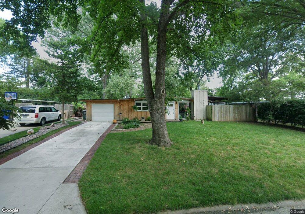
924 Murrow Ct Lawrence, KS 66049
Sunset Hills NeighborhoodEstimated Value: $196,972 - $232,000
3
Beds
2
Baths
1,020
Sq Ft
$214/Sq Ft
Est. Value
About This Home
This home is located at 924 Murrow Ct, Lawrence, KS 66049 and is currently estimated at $217,993, approximately $213 per square foot. 924 Murrow Ct is a home located in Douglas County with nearby schools including Sunset Hill Elementary School, West Middle School, and Lawrence Free State High School.
Ownership History
Date
Name
Owned For
Owner Type
Purchase Details
Closed on
Feb 26, 2019
Sold by
Miller Christopher R P
Bought by
Stranz Kenneth
Current Estimated Value
Home Financials for this Owner
Home Financials are based on the most recent Mortgage that was taken out on this home.
Original Mortgage
$74,400
Outstanding Balance
$56,413
Interest Rate
4.4%
Mortgage Type
New Conventional
Estimated Equity
$161,580
Purchase Details
Closed on
Dec 30, 2002
Sold by
Ulmer Todd P and Hughes Stacey
Bought by
Miller Christopher R P
Home Financials for this Owner
Home Financials are based on the most recent Mortgage that was taken out on this home.
Original Mortgage
$78,000
Interest Rate
5.89%
Mortgage Type
Purchase Money Mortgage
Create a Home Valuation Report for This Property
The Home Valuation Report is an in-depth analysis detailing your home's value as well as a comparison with similar homes in the area
Home Values in the Area
Average Home Value in this Area
Purchase History
| Date | Buyer | Sale Price | Title Company |
|---|---|---|---|
| Stranz Kenneth | -- | Kansas Secured Title Inc | |
| Miller Christopher R P | -- | -- |
Source: Public Records
Mortgage History
| Date | Status | Borrower | Loan Amount |
|---|---|---|---|
| Open | Stranz Kenneth | $74,400 | |
| Previous Owner | Miller Christopher R P | $78,000 |
Source: Public Records
Tax History
| Year | Tax Paid | Tax Assessment Tax Assessment Total Assessment is a certain percentage of the fair market value that is determined by local assessors to be the total taxable value of land and additions on the property. | Land | Improvement |
|---|---|---|---|---|
| 2025 | $2,230 | $18,734 | $7,475 | $11,259 |
| 2024 | $2,106 | $17,756 | $5,750 | $12,006 |
| 2023 | $2,221 | $17,676 | $5,520 | $12,156 |
| 2022 | $2,007 | $15,905 | $4,830 | $11,075 |
| 2021 | $1,657 | $12,611 | $3,795 | $8,816 |
| 2020 | $1,523 | $11,677 | $3,795 | $7,882 |
| 2019 | $1,447 | $11,121 | $3,795 | $7,326 |
| 2018 | $1,380 | $10,546 | $3,680 | $6,866 |
| 2017 | $1,365 | $10,316 | $3,680 | $6,636 |
| 2016 | $1,320 | $10,431 | $3,680 | $6,751 |
| 2015 | -- | $11,017 | $3,680 | $7,337 |
| 2014 | -- | $11,052 | $3,680 | $7,372 |
Source: Public Records
Map
Nearby Homes
- 3009 W 8th St
- 2407 Yale Rd
- 2915 W 7th St
- 2505 Moundview Dr
- 934 Pamela Ln
- 1008 Lawrence Ave
- 807 Lawrence Ave
- 819 Crawford Dr
- 2729 Stratford Rd
- 3226 Cardinal Dr
- 2822 University Dr
- 1036 Holiday Dr
- 3007 Trail Rd
- 3412 W 9th Ct
- 502 Millstone Dr
- 0 Raintree Place
- 1321 Raintree Place
- 3415 Trail Rd
- 709 Joseph Dr
- 302 Providence Rd
Your Personal Tour Guide
Ask me questions while you tour the home.