925 Durham Way Unit 2 Stockbridge, GA 30281
Estimated Value: $294,000 - $323,000
4
Beds
2
Baths
2,079
Sq Ft
$147/Sq Ft
Est. Value
About This Home
This home is located at 925 Durham Way Unit 2, Stockbridge, GA 30281 and is currently estimated at $305,130, approximately $146 per square foot. 925 Durham Way Unit 2 is a home located in Henry County with nearby schools including Red Oak Elementary School, Dutchtown Middle School, and Dutchtown High School.
Ownership History
Date
Name
Owned For
Owner Type
Purchase Details
Closed on
Jul 3, 2002
Sold by
Tim Jones Communities Inc
Bought by
Williams Arthur L and Williams Patty R
Current Estimated Value
Home Financials for this Owner
Home Financials are based on the most recent Mortgage that was taken out on this home.
Original Mortgage
$143,645
Outstanding Balance
$60,135
Interest Rate
6.67%
Mortgage Type
FHA
Estimated Equity
$244,995
Create a Home Valuation Report for This Property
The Home Valuation Report is an in-depth analysis detailing your home's value as well as a comparison with similar homes in the area
Home Values in the Area
Average Home Value in this Area
Purchase History
| Date | Buyer | Sale Price | Title Company |
|---|---|---|---|
| Williams Arthur L | $145,900 | -- |
Source: Public Records
Mortgage History
| Date | Status | Borrower | Loan Amount |
|---|---|---|---|
| Open | Williams Arthur L | $143,645 |
Source: Public Records
Tax History Compared to Growth
Tax History
| Year | Tax Paid | Tax Assessment Tax Assessment Total Assessment is a certain percentage of the fair market value that is determined by local assessors to be the total taxable value of land and additions on the property. | Land | Improvement |
|---|---|---|---|---|
| 2025 | $4,086 | $126,800 | $18,000 | $108,800 |
| 2024 | $4,086 | $118,800 | $18,000 | $100,800 |
| 2023 | $3,607 | $123,440 | $14,000 | $109,440 |
| 2022 | $3,102 | $95,960 | $14,000 | $81,960 |
| 2021 | $2,671 | $77,760 | $12,000 | $65,760 |
| 2020 | $2,512 | $71,000 | $10,000 | $61,000 |
| 2019 | $2,259 | $63,200 | $10,000 | $53,200 |
| 2018 | $2,239 | $62,320 | $10,000 | $52,320 |
| 2016 | $2,061 | $56,520 | $10,000 | $46,520 |
| 2015 | $1,834 | $49,520 | $7,200 | $42,320 |
| 2014 | $1,665 | $44,880 | $7,200 | $37,680 |
Source: Public Records
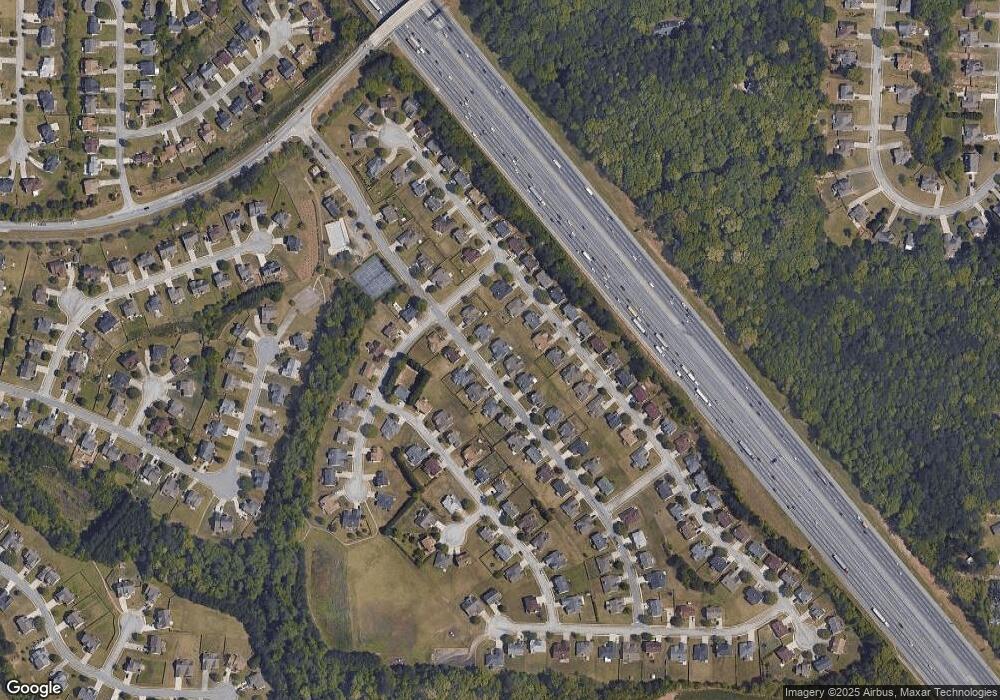
Map
Nearby Homes
- 213 Sunderland Way Unit 1
- 1341 Kent Manor Unit 3
- 512 Chaucer Way Unit 1
- 469 Village Cir
- 486 Village Cir
- 1653 Jersey Dr
- 1545 Brangus Dr
- 263 Northwind Dr
- 719 Nightwind Way
- 198 Broder Farms Dr
- 300 Monarch Village Way
- 924 Dexter Dr
- 404 Northwind Place
- 235 Alexis Ave
- 184 Eagle Way
- 377 Avian Forest Dr
- 266 Monarch Village Way
- 213 Baron Ct
- 318 Eagle Ct
- 564 Goldfinch Way
- 929 Durham Way
- 921 Durham Way Unit 2
- 1477 Buckingham Place Unit 2
- 1473 Buckingham Place Unit 2
- 1481 Buckingham Place
- 933 Durham Way
- 0 Durham Way Unit 8130319
- 0 Durham Way Unit 8160062
- 917 Durham Way Unit 1
- 924 Durham Way Unit 2
- 928 Durham Way
- 1469 Buckingham Place
- 1469 Buckingham Place
- 1469 Buckingham Place Unit 2
- 920 Durham Way
- 1485 Buckingham Place
- 937 Durham Way Unit 2
- 932 Durham Way
- 932 Durham Way Unit 2
- 916 Durham Way Unit 2