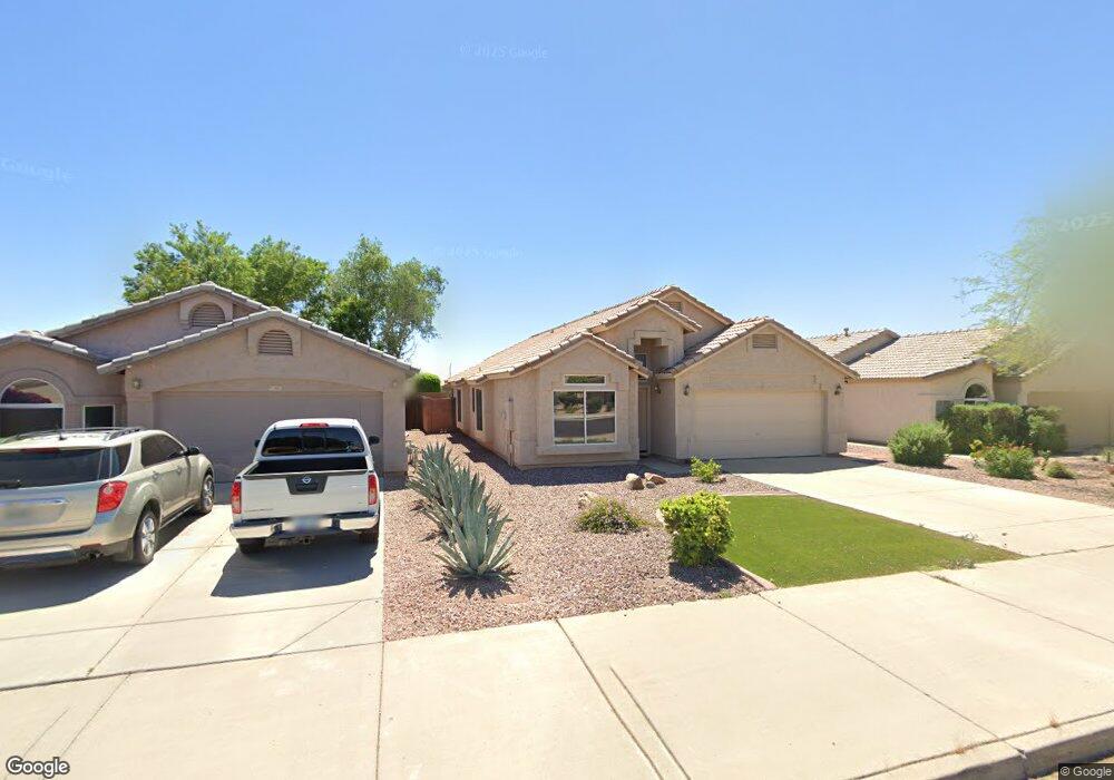
927 E Mohawk Dr Phoenix, AZ 85024
North Deer Valley NeighborhoodEstimated Value: $426,833 - $526,000
4
Beds
2
Baths
1,810
Sq Ft
$273/Sq Ft
Est. Value
About This Home
This home is located at 927 E Mohawk Dr, Phoenix, AZ 85024 and is currently estimated at $494,708, approximately $273 per square foot. 927 E Mohawk Dr is a home located in Maricopa County with nearby schools including Esperanza Elementary School, Deer Valley Middle School, and Barry Goldwater High School.
Ownership History
Date
Name
Owned For
Owner Type
Purchase Details
Closed on
Jan 15, 2002
Sold by
Mullins Shawn P and Mullins Mary Ellen D
Bought by
Maese Michelle A
Current Estimated Value
Home Financials for this Owner
Home Financials are based on the most recent Mortgage that was taken out on this home.
Original Mortgage
$150,100
Outstanding Balance
$53,492
Interest Rate
5.25%
Mortgage Type
Purchase Money Mortgage
Estimated Equity
$441,216
Purchase Details
Closed on
Nov 16, 1999
Sold by
D R Horton Inc
Bought by
Mullins Shawn P and Mullins Mary Ellen D
Home Financials for this Owner
Home Financials are based on the most recent Mortgage that was taken out on this home.
Original Mortgage
$134,234
Interest Rate
7.82%
Mortgage Type
FHA
Create a Home Valuation Report for This Property
The Home Valuation Report is an in-depth analysis detailing your home's value as well as a comparison with similar homes in the area
Home Values in the Area
Average Home Value in this Area
Purchase History
| Date | Buyer | Sale Price | Title Company |
|---|---|---|---|
| Maese Michelle A | $158,000 | Lawyers Title Of Arizona Inc | |
| Mullins Shawn P | $135,895 | Century Title Agency |
Source: Public Records
Mortgage History
| Date | Status | Borrower | Loan Amount |
|---|---|---|---|
| Open | Maese Michelle A | $150,100 | |
| Previous Owner | Mullins Shawn P | $134,234 |
Source: Public Records
Tax History
| Year | Tax Paid | Tax Assessment Tax Assessment Total Assessment is a certain percentage of the fair market value that is determined by local assessors to be the total taxable value of land and additions on the property. | Land | Improvement |
|---|---|---|---|---|
| 2025 | $2,129 | $24,477 | -- | -- |
| 2024 | $2,071 | $23,311 | -- | -- |
| 2023 | $2,071 | $36,300 | $7,260 | $29,040 |
| 2022 | $1,994 | $28,080 | $5,610 | $22,470 |
| 2021 | $2,083 | $25,850 | $5,170 | $20,680 |
| 2020 | $2,045 | $24,500 | $4,900 | $19,600 |
| 2019 | $1,982 | $23,330 | $4,660 | $18,670 |
| 2018 | $1,913 | $22,280 | $4,450 | $17,830 |
| 2017 | $1,847 | $20,530 | $4,100 | $16,430 |
| 2016 | $1,743 | $19,560 | $3,910 | $15,650 |
| 2015 | $1,556 | $18,120 | $3,620 | $14,500 |
Source: Public Records
Map
Nearby Homes
- 936 E Montoya Ln
- 1017 E Montoya Ln
- 941 E Potter Dr
- 922 E Blackhawk Dr
- 20238 N 9th St
- 910 E Potter Dr
- 20826 N 10th St
- 20220 N 9th St
- 1226 E Wahalla Ln
- 19648 N 9th St
- 1002 E Oraibi Dr
- 19613 N 9th St
- 19801 N 6th Place
- 21009 N 16th Way
- 19601 N 7th St Unit 1056
- 19601 N 7th St Unit 2026
- 19601 N 7th St Unit 1005
- 19601 N 7th St Unit 1063
- 19601 N 7th St Unit 1009
- 1609 E Mohawk Ln
- 1001 E Mohawk Dr
- 923 E Mohawk Dr
- 1005 E Mohawk Dr
- 919 E Mohawk Dr
- 920 E Montoya Ln
- 924 E Montoya Ln
- 916 E Montoya Ln
- 1007 E Mohawk Dr
- 915 E Mohawk Dr
- 928 E Montoya Ln
- 914 E Montoya Ln
- 20602 N 10th St
- 932 E Montoya Ln
- 910 E Montoya Ln
- 911 E Mohawk Dr
- 1011 E Mohawk Dr
- 1004 E Mohawk Dr
- 906 E Montoya Ln
- 20606 N 10th St
- 1008 E Mohawk Dr
Your Personal Tour Guide
Ask me questions while you tour the home.