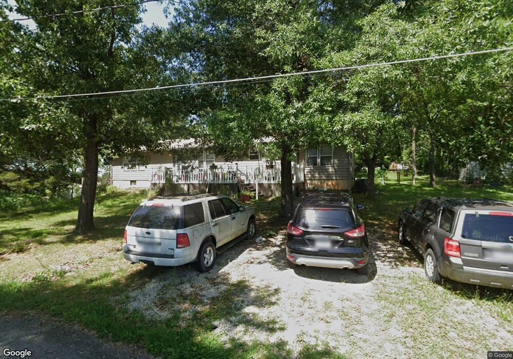
929 Locust St West Plains, MO 65775
Estimated Value: $145,440 - $254,000
--
Bed
--
Bath
1,924
Sq Ft
$94/Sq Ft
Est. Value
About This Home
This home is located at 929 Locust St, West Plains, MO 65775 and is currently estimated at $180,110, approximately $93 per square foot. 929 Locust St is a home with nearby schools including West Plains Senior High School, Ozarks Christian Academy, and Faith Assembly Christian School.
Create a Home Valuation Report for This Property
The Home Valuation Report is an in-depth analysis detailing your home's value as well as a comparison with similar homes in the area
Home Values in the Area
Average Home Value in this Area
Tax History Compared to Growth
Tax History
| Year | Tax Paid | Tax Assessment Tax Assessment Total Assessment is a certain percentage of the fair market value that is determined by local assessors to be the total taxable value of land and additions on the property. | Land | Improvement |
|---|---|---|---|---|
| 2025 | $936 | $22,600 | $2,550 | $20,050 |
| 2024 | $931 | $20,180 | -- | -- |
| 2023 | $931 | $20,180 | $0 | $0 |
| 2022 | $880 | $19,110 | $0 | $0 |
| 2021 | $445 | $19,110 | $0 | $0 |
| 2020 | $445 | $9,440 | $0 | $0 |
| 2019 | $462 | $9,440 | $0 | $0 |
| 2018 | $462 | $9,440 | $0 | $0 |
| 2017 | $460 | $9,440 | $0 | $0 |
| 2015 | -- | $8,980 | $0 | $0 |
| 2014 | -- | $8,980 | $0 | $0 |
| 2013 | -- | $8,980 | $0 | $0 |
Source: Public Records
Map
Nearby Homes
- 000 Us Highway 63
- 1029 S Aid Ave
- 620 Johnson St
- 312 E Maple St
- 639 Lanton Rd
- 742 Olive St
- 204 Bartley St
- 000 Tanglewood Place
- 1011 County Road 8270
- 1100 County Road 8270
- 415 Farrell St
- 1236 Aldridge St
- 315 Walker St
- 425 Farrell St
- 413 Cherry St
- 000 S Thayer Ave
- 426 S Thayer Ave
- 209 S Aid Ave
- 203 S Aid Ave
- 609 Woodland Ave