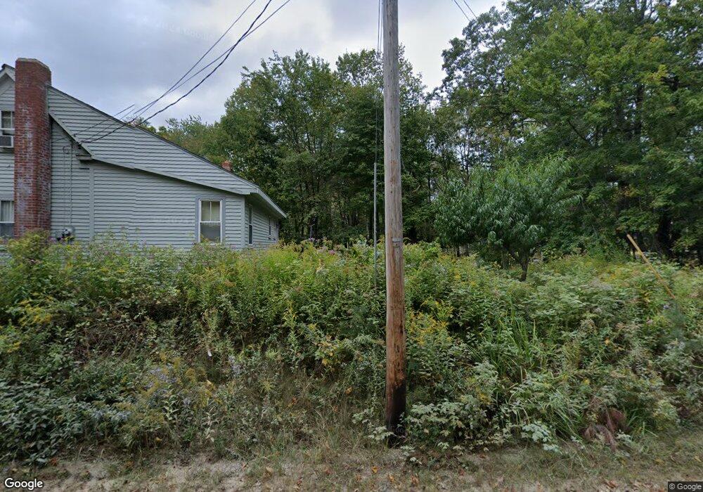
94 Range Rd New Gloucester, ME 04260
Estimated Value: $315,886 - $498,000
2
Beds
1
Bath
783
Sq Ft
$491/Sq Ft
Est. Value
About This Home
This home is located at 94 Range Rd, New Gloucester, ME 04260 and is currently estimated at $384,722, approximately $491 per square foot. 94 Range Rd is a home located in Cumberland County with nearby schools including Gray-New Gloucester High School.
Ownership History
Date
Name
Owned For
Owner Type
Purchase Details
Closed on
Dec 14, 2011
Sold by
Strout Allison E Est
Bought by
Donovan Tammy L
Current Estimated Value
Home Financials for this Owner
Home Financials are based on the most recent Mortgage that was taken out on this home.
Original Mortgage
$99,489
Outstanding Balance
$67,560
Interest Rate
4.01%
Mortgage Type
Purchase Money Mortgage
Estimated Equity
$317,162
Create a Home Valuation Report for This Property
The Home Valuation Report is an in-depth analysis detailing your home's value as well as a comparison with similar homes in the area
Home Values in the Area
Average Home Value in this Area
Purchase History
| Date | Buyer | Sale Price | Title Company |
|---|---|---|---|
| Donovan Tammy L | -- | -- |
Source: Public Records
Mortgage History
| Date | Status | Borrower | Loan Amount |
|---|---|---|---|
| Open | Donovan Tammy L | $99,489 |
Source: Public Records
Tax History
| Year | Tax Paid | Tax Assessment Tax Assessment Total Assessment is a certain percentage of the fair market value that is determined by local assessors to be the total taxable value of land and additions on the property. | Land | Improvement |
|---|---|---|---|---|
| 2025 | $2,841 | $183,623 | $73,600 | $110,023 |
| 2024 | $2,734 | $183,623 | $73,600 | $110,023 |
| 2023 | $2,624 | $183,623 | $73,600 | $110,023 |
| 2022 | $2,534 | $183,623 | $73,600 | $110,023 |
| 2021 | $2,534 | $183,623 | $73,600 | $110,023 |
| 2020 | $2,506 | $183,623 | $73,600 | $110,023 |
| 2019 | $2,734 | $161,800 | $73,800 | $88,000 |
| 2018 | $2,556 | $161,800 | $73,800 | $88,000 |
| 2017 | $2,524 | $161,800 | $73,800 | $88,000 |
| 2016 | $283 | $142,600 | $73,800 | $68,800 |
| 2015 | $2,089 | $142,600 | $73,800 | $68,800 |
| 2014 | $2,068 | $142,600 | $73,800 | $68,800 |
| 2013 | $1,918 | $142,600 | $73,800 | $68,800 |
Source: Public Records
Map
Nearby Homes
- 436 Foster Rd
- 436 Lot A Foster Rd
- 436 Lot B Foster Rd
- 306 Empire Rd
- 795Lot #3 Empire Rd
- 795 Lot #2 Empire Rd
- Lot #2,#3 Empire Rd
- 46-47D Hines Rd & Main St
- Lot 47C Hines Rd
- 10-56 C&E Bowdoin Way
- Bowdoin Way
- 53 Westview Dr
- 26 Front Ave
- 6 Williams Way
- 2578 Hotel Rd
- Lot 46-1 Maine St
- Lot 47C-D Maine St
- Lot42-1001 Maine St Unit Map 10
- Lot 42 Maine St Unit Map 10
- 14 Julie St
Your Personal Tour Guide
Ask me questions while you tour the home.