946 Saint Andrews Cir Springfield, MO 65809
Southeast Springfield NeighborhoodEstimated Value: $776,000 - $918,018
4
Beds
5
Baths
5,658
Sq Ft
$152/Sq Ft
Est. Value
About This Home
This home is located at 946 Saint Andrews Cir, Springfield, MO 65809 and is currently estimated at $858,673, approximately $151 per square foot. 946 Saint Andrews Cir is a home located in Greene County with nearby schools including Hickory Hills K-8 School, Glendale High School, and Grace Classical Academy.
Ownership History
Date
Name
Owned For
Owner Type
Purchase Details
Closed on
Jun 12, 2018
Sold by
Carnahan John M and Carnahan Jennifer L
Bought by
Hickory Land Company Llc
Current Estimated Value
Purchase Details
Closed on
Oct 9, 2015
Sold by
Carnahan John M
Bought by
Carnahan John M and Carnahan Jennifer L
Purchase Details
Closed on
Feb 7, 2013
Sold by
Powell Cathryn B
Bought by
Powell William D and Powell Cathy B
Purchase Details
Closed on
Feb 24, 2012
Sold by
Carnac Real Estate Llc
Bought by
Carnahan John M and John M Carnahan Iii Revocable Trust
Create a Home Valuation Report for This Property
The Home Valuation Report is an in-depth analysis detailing your home's value as well as a comparison with similar homes in the area
Home Values in the Area
Average Home Value in this Area
Purchase History
| Date | Buyer | Sale Price | Title Company |
|---|---|---|---|
| Hickory Land Company Llc | -- | None Available | |
| Carnahan John M | -- | None Available | |
| Powell William D | -- | None Available | |
| Carnahan John M | -- | None Available |
Source: Public Records
Tax History
| Year | Tax Paid | Tax Assessment Tax Assessment Total Assessment is a certain percentage of the fair market value that is determined by local assessors to be the total taxable value of land and additions on the property. | Land | Improvement |
|---|---|---|---|---|
| 2025 | $7,038 | $141,740 | $35,150 | $106,590 |
| 2024 | $7,038 | $131,180 | $35,150 | $96,030 |
| 2023 | $6,998 | $131,180 | $35,150 | $96,030 |
| 2022 | $6,168 | $112,940 | $35,150 | $77,790 |
| 2021 | $6,167 | $112,940 | $35,150 | $77,790 |
| 2020 | $6,188 | $108,360 | $35,150 | $73,210 |
| 2019 | $6,014 | $108,360 | $35,150 | $73,210 |
| 2018 | $5,929 | $106,880 | $35,150 | $71,730 |
| 2017 | $5,869 | $98,440 | $35,150 | $63,290 |
| 2016 | $5,395 | $98,440 | $35,150 | $63,290 |
| 2015 | $5,346 | $98,440 | $35,150 | $63,290 |
| 2014 | $5,384 | $98,440 | $35,150 | $63,290 |
Source: Public Records
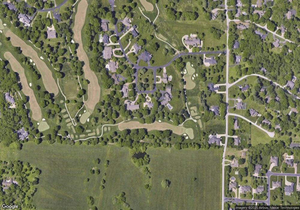
Map
Nearby Homes
- 4254 E Ridgeview Dr
- 3810 E Cherry St Unit 32
- 1318 S Jones Mill Ln
- 823 S Mission Ave
- 966 S Carriage Ave
- Tract 2 S Post Oak Ct
- 4552 E Spruce Dr
- 4308 E Catalpa St
- 1456 S Bright Oak Ave
- 846 White Diamond Ct
- 3546 E Cinnamon Place
- 702 S Thornridge Dr
- 4129 E Linwood St
- 3460 E Catalpa St
- 727 S Hickory Dr
- 1531 S Cedar Ridge St
- 1516 S Essex Rd
- 3706 E Linwood St
- 703 S Hickory Dr
- 4058 E Linwood St
- 936 Saint Andrews Cir
- 935 Saint Andrews Cir
- 910 Saint Andrews Cir
- 925 Saint Andrews Cir
- 911 Saint Andrews Cir
- 3985 E Saint Andrews Dr
- 3960 E Saint Andrews Dr
- 3960 E Street Andrews Dr
- 3961 E Street Andrews Dr
- 3961 E Saint Andrews Dr
- 929 S Mumford Dr
- 3950 E Street Andrews Dr
- 903 S Mumford Dr
- 3950 E Saint Andrews Dr
- 955 S Mumford Dr
- 3955 E Saint Andrews Dr
- 3955 E Street Andrews Dr
- 4148 E Saint Andrews Dr
- 4131 E Saint Andrews Dr
- 3940 E Saint Andrews Dr
Your Personal Tour Guide
Ask me questions while you tour the home.