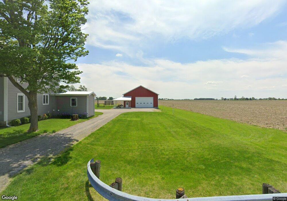
9461 Hogpath Rd Arcanum, OH 45304
Estimated Value: $216,000 - $288,000
4
Beds
2
Baths
1,918
Sq Ft
$136/Sq Ft
Est. Value
About This Home
This home is located at 9461 Hogpath Rd, Arcanum, OH 45304 and is currently estimated at $260,138, approximately $135 per square foot. 9461 Hogpath Rd is a home located in Darke County with nearby schools including Franklin Monroe Elementary School and Franklin Monroe High School.
Ownership History
Date
Name
Owned For
Owner Type
Purchase Details
Closed on
Jan 27, 2006
Sold by
Rapp Anna M and Rapp Lowell
Bought by
Garber Brian A and Garber Jenae L
Current Estimated Value
Home Financials for this Owner
Home Financials are based on the most recent Mortgage that was taken out on this home.
Original Mortgage
$78,400
Outstanding Balance
$44,579
Interest Rate
6.37%
Mortgage Type
Future Advance Clause Open End Mortgage
Estimated Equity
$215,559
Create a Home Valuation Report for This Property
The Home Valuation Report is an in-depth analysis detailing your home's value as well as a comparison with similar homes in the area
Home Values in the Area
Average Home Value in this Area
Purchase History
| Date | Buyer | Sale Price | Title Company |
|---|---|---|---|
| Garber Brian A | $82,000 | Attorney |
Source: Public Records
Mortgage History
| Date | Status | Borrower | Loan Amount |
|---|---|---|---|
| Open | Garber Brian A | $78,400 |
Source: Public Records
Tax History Compared to Growth
Tax History
| Year | Tax Paid | Tax Assessment Tax Assessment Total Assessment is a certain percentage of the fair market value that is determined by local assessors to be the total taxable value of land and additions on the property. | Land | Improvement |
|---|---|---|---|---|
| 2024 | $2,195 | $65,270 | $9,630 | $55,640 |
| 2023 | $2,198 | $65,270 | $9,630 | $55,640 |
| 2022 | $2,142 | $55,510 | $8,220 | $47,290 |
| 2021 | $2,161 | $55,510 | $8,220 | $47,290 |
| 2020 | $2,068 | $55,510 | $8,220 | $47,290 |
| 2019 | $1,776 | $49,190 | $8,070 | $41,120 |
| 2018 | $1,029 | $49,190 | $8,070 | $41,120 |
| 2017 | $882 | $28,450 | $8,070 | $20,380 |
| 2016 | $889 | $26,540 | $7,670 | $18,870 |
| 2015 | $889 | $26,540 | $7,670 | $18,870 |
| 2014 | $895 | $26,540 | $7,670 | $18,870 |
| 2013 | $890 | $24,540 | $7,390 | $17,150 |
Source: Public Records
Map
Nearby Homes
- 0 N Furlong Rd
- 2288 N State Route 721
- 9980 Ohio 718
- 0 Delisle Fourman Rd
- 111 E Pike St
- 2255 Red River-West Grove Rd
- 2255 Red River West Grove Rd
- 13 Laura Cir
- 200 N Jefferson St
- 220 Baker St
- 11299 Coppock Rd
- 133 Dorwin St
- 508 S Jefferson St
- 11863 Hall Rd
- 107 Mary St
- 9983 New Harrison Bradford Rd
- 9983 New Harrison-Bradford Rd
- 211 W Elm St
- 10770 U S 36
- 2546 Gordon Landis Rd
- 9438 Hogpath Rd
- 4489 Red River West Grove Rd
- 4489 Red River-West Grove Rd
- 9508 Hogpath Rd
- 4430 Red River West Grove Rd
- 9530 Hogpath Rd
- 4576 Red River West Grove Rd
- 9541 Hogpath Rd
- 4355 Red River West Grove Rd
- 4741 Red River West Grove Rd
- 4741 Red River West Grove Rd
- 4633 Red River West Grove Rd
- 9291 Hogpath Rd
- 9371 Grove Rd
- 9232 Hogpath Rd
- 9265 Grove Rd
- 4235 Red River West Grove Rd
- 4158 Red River West Grove Rd
- 4139 Red River West Grove Rd
- 9123 Hogpath Rd