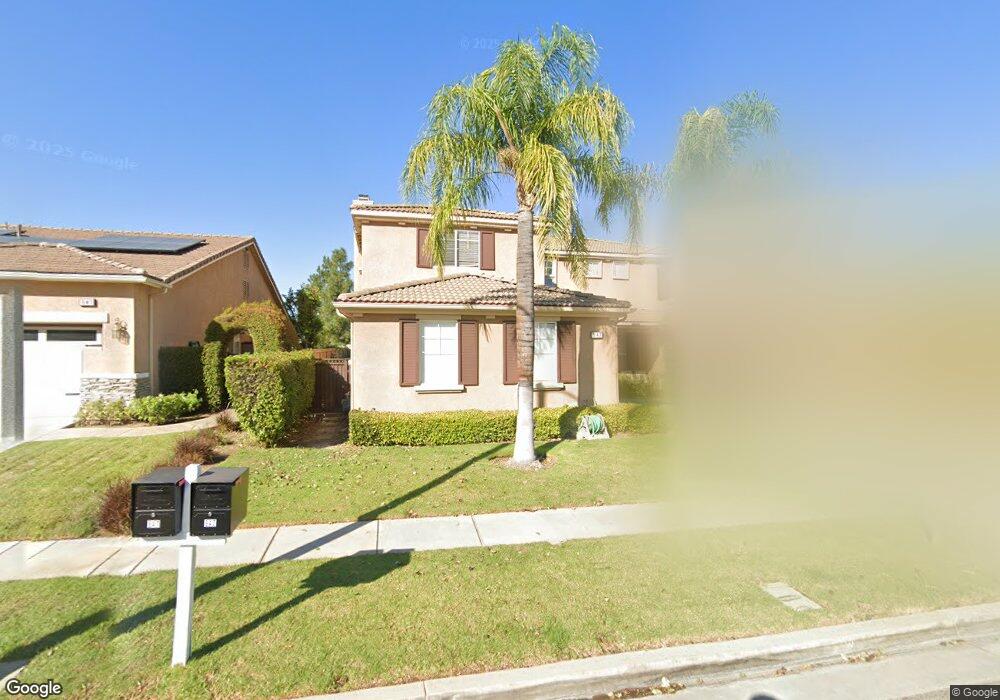
947 Mccall Dr Corona, CA 92881
South Corona NeighborhoodEstimated Value: $1,140,883 - $1,450,000
4
Beds
4
Baths
3,704
Sq Ft
$335/Sq Ft
Est. Value
About This Home
This home is located at 947 Mccall Dr, Corona, CA 92881 and is currently estimated at $1,241,221, approximately $335 per square foot. 947 Mccall Dr is a home located in Riverside County with nearby schools including Orange Elementary School, Citrus Hills Intermediate School, and Santiago High School.
Ownership History
Date
Name
Owned For
Owner Type
Purchase Details
Closed on
Oct 3, 2005
Sold by
Martin Tina D
Bought by
Martin Arthur K and Martin Tina D
Current Estimated Value
Home Financials for this Owner
Home Financials are based on the most recent Mortgage that was taken out on this home.
Original Mortgage
$155,000
Outstanding Balance
$82,282
Interest Rate
5.63%
Mortgage Type
New Conventional
Estimated Equity
$1,158,939
Purchase Details
Closed on
Oct 20, 2000
Sold by
Martin Arthur K
Bought by
Martin Tina D
Purchase Details
Closed on
Jul 6, 2000
Sold by
Mountain Gate Development Company Llc
Bought by
Martin Tina D
Home Financials for this Owner
Home Financials are based on the most recent Mortgage that was taken out on this home.
Original Mortgage
$331,500
Interest Rate
10.5%
Create a Home Valuation Report for This Property
The Home Valuation Report is an in-depth analysis detailing your home's value as well as a comparison with similar homes in the area
Home Values in the Area
Average Home Value in this Area
Purchase History
We collect this data history from publicly available records. To have your information removed, we recommend requesting removal directly through your county’s website.
| Date | Buyer | Sale Price | Title Company |
|---|---|---|---|
| Martin Arthur K | -- | Commonwealth Land Title Co | |
| Martin Tina D | -- | First American Title Co | |
| Martin Tina D | $390,000 | First American Title Co |
Source: Public Records
Mortgage History
We collect this data history from publicly available records. To have your information removed, we recommend requesting removal directly through your county’s website.
| Date | Status | Borrower | Loan Amount |
|---|---|---|---|
| Open | Martin Arthur K | $155,000 | |
| Previous Owner | Martin Tina D | $331,500 | |
| Closed | Martin Tina D | $50,000 |
Source: Public Records
Tax History
| Year | Tax Paid | Tax Assessment Tax Assessment Total Assessment is a certain percentage of the fair market value that is determined by local assessors to be the total taxable value of land and additions on the property. | Land | Improvement |
|---|---|---|---|---|
| 2025 | $7,228 | $626,666 | $135,598 | $491,068 |
| 2023 | $7,228 | $602,334 | $130,334 | $472,000 |
| 2022 | $7,010 | $590,525 | $127,779 | $462,746 |
| 2021 | $6,878 | $578,947 | $125,274 | $453,673 |
| 2020 | $6,806 | $573,012 | $123,990 | $449,022 |
| 2019 | $6,979 | $561,777 | $121,559 | $440,218 |
| 2018 | $7,977 | $550,763 | $119,177 | $431,586 |
| 2017 | $7,821 | $539,965 | $116,841 | $423,124 |
| 2016 | $7,757 | $529,378 | $114,550 | $414,828 |
| 2015 | $7,638 | $521,428 | $112,830 | $408,598 |
| 2014 | $7,522 | $511,217 | $110,621 | $400,596 |
Source: Public Records
Map
Nearby Homes
- 4009 Cerveza Cir
- 1041 Stanislaus Dr
- 1062 Mccall Dr
- 3730 Wallowa Cir
- 685 White Mountain Cir
- 3740 Coleville Cir
- 3770 Deerlodge Cir Unit 122
- 3795 Peregrine Cir
- 4071 Judy Cir
- 4050 Lester Ave
- 423 Cleveland Way
- 1147 Sandra Cir
- 3387 Moonlight Ln Unit 168
- 3630 Vanderbilt Dr
- 855 Viewtop Cir
- 3939 Holly Springs Dr
- 4050 Murphy Ct
- 1257 Via Venezia Cir
- 723 Pointe Vista Ln
- 1345 Sallie Jeffreys Way
Your Personal Tour Guide
Ask me questions while you tour the home.