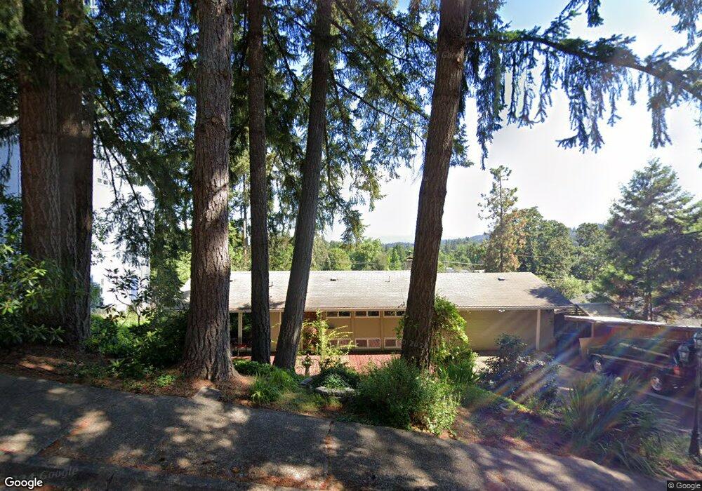
95 E 49th Ave Eugene, OR 97405
Southeast Eugene NeighborhoodEstimated Value: $495,000 - $582,961
3
Beds
3
Baths
2,744
Sq Ft
$201/Sq Ft
Est. Value
About This Home
This home is located at 95 E 49th Ave, Eugene, OR 97405 and is currently estimated at $550,990, approximately $200 per square foot. 95 E 49th Ave is a home located in Lane County with nearby schools including Edgewood Community Elementary School, Spencer Butte Middle School, and South Eugene High School.
Ownership History
Date
Name
Owned For
Owner Type
Purchase Details
Closed on
Jan 17, 2003
Sold by
Fisher Robert Edward
Bought by
Fisher Robert Edward and Fisher Eriko
Current Estimated Value
Home Financials for this Owner
Home Financials are based on the most recent Mortgage that was taken out on this home.
Original Mortgage
$132,000
Outstanding Balance
$55,557
Interest Rate
5.96%
Estimated Equity
$495,433
Purchase Details
Closed on
Jan 16, 2003
Sold by
Martin Stephanie P and Olson Stephanie P
Bought by
Fisher Robert Edward
Home Financials for this Owner
Home Financials are based on the most recent Mortgage that was taken out on this home.
Original Mortgage
$132,000
Outstanding Balance
$55,557
Interest Rate
5.96%
Estimated Equity
$495,433
Purchase Details
Closed on
Aug 27, 1998
Sold by
Olson Robert D
Bought by
Olson Stephanie P
Create a Home Valuation Report for This Property
The Home Valuation Report is an in-depth analysis detailing your home's value as well as a comparison with similar homes in the area
Home Values in the Area
Average Home Value in this Area
Purchase History
| Date | Buyer | Sale Price | Title Company |
|---|---|---|---|
| Fisher Robert Edward | -- | Western Pioneer Title Co | |
| Fisher Robert Edward | $165,000 | Western Pioneer Title Co | |
| Olson Stephanie P | -- | -- |
Source: Public Records
Mortgage History
| Date | Status | Borrower | Loan Amount |
|---|---|---|---|
| Open | Fisher Robert Edward | $132,000 |
Source: Public Records
Tax History
| Year | Tax Paid | Tax Assessment Tax Assessment Total Assessment is a certain percentage of the fair market value that is determined by local assessors to be the total taxable value of land and additions on the property. | Land | Improvement |
|---|---|---|---|---|
| 2025 | $6,139 | $315,106 | -- | -- |
| 2024 | $6,063 | $305,929 | -- | -- |
| 2023 | $6,063 | $297,019 | $0 | $0 |
| 2022 | $5,680 | $288,368 | $0 | $0 |
| 2021 | $5,335 | $279,969 | $0 | $0 |
| 2020 | $5,354 | $271,815 | $0 | $0 |
| 2019 | $5,171 | $263,899 | $0 | $0 |
| 2018 | $4,867 | $248,750 | $0 | $0 |
| 2017 | $4,649 | $248,750 | $0 | $0 |
| 2016 | $4,496 | $241,505 | $0 | $0 |
| 2015 | $4,378 | $234,471 | $0 | $0 |
| 2014 | $4,312 | $227,642 | $0 | $0 |
Source: Public Records
Map
Nearby Homes
- 36 Westbrook Way
- 21 Westbrook Way
- 17 Westbrook Way
- 4734 Brookwood St
- 395 E 46th Ave
- 278 Rockridge Ct
- 143 Treehill Loop Unit 143
- 152 Treehill Loop Unit 152
- 151 Treehill Loop Unit 151
- 4845 Brookwood St
- 422 Stonewood Dr Unit 422
- 418 Stonewood Dr Unit 418
- 223 Trailside Loop Unit 223
- 170 E 40th Ave
- 4425 Hilyard St
- 653 Brookside Dr
- 533 E 40th Ave
- 296 Woodridge Dr
- 434 E 39th Ave
- 0 Pine View Ct Unit 758820410
- 105 E 49th Ave
- 55 E 49th Ave
- 110 E 48th Ave
- 92 E 48th Ave
- 150 E 48th Ave
- 90 E 49th Ave
- 35 E 49th Ave
- 50 E 49th Ave
- 110 E 49th Ave
- 52 E 48th Ave
- 182 E 48th Ave
- 30 E 49th Ave
- 155 E 49th Ave
- 4875 Willamette St
- 95 Coachman Dr
- 130 E 49th Ave
- 4815 Willamette St
- 101 E 48th Ave
- 55 Coachman Dr
- 151 E 48th Ave
Your Personal Tour Guide
Ask me questions while you tour the home.