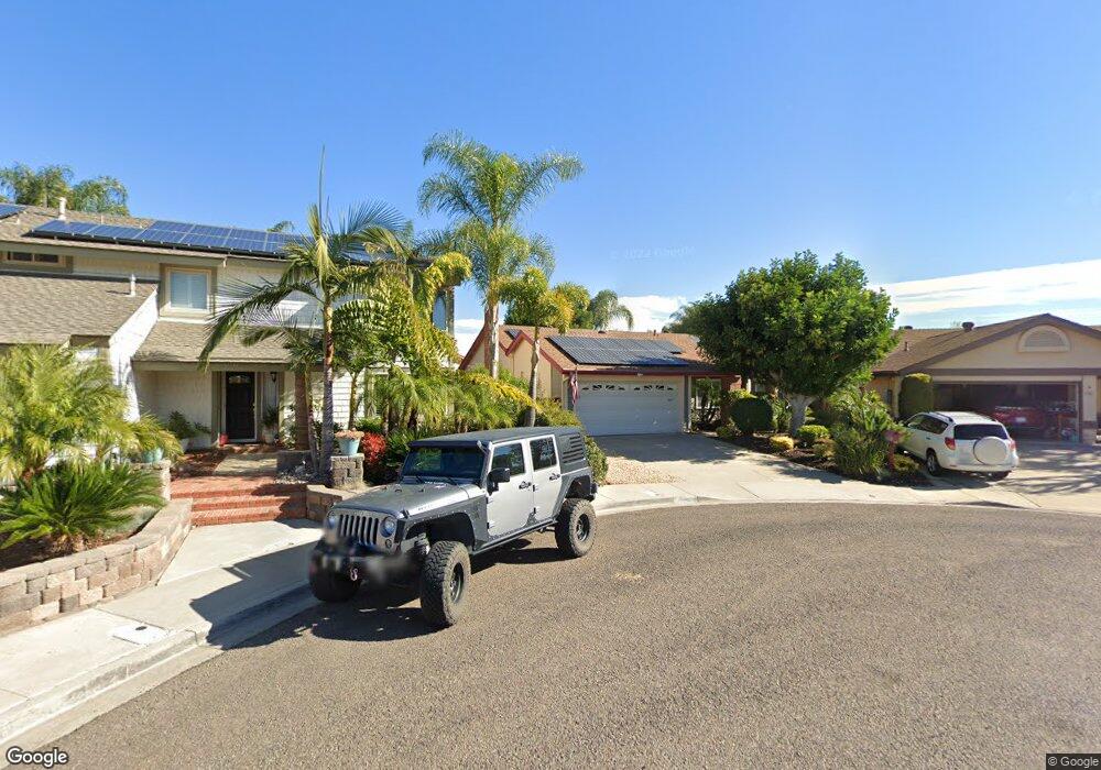
9509 Mavin Dr Santee, CA 92071
Estimated Value: $814,986 - $888,000
3
Beds
2
Baths
1,415
Sq Ft
$603/Sq Ft
Est. Value
About This Home
This home is located at 9509 Mavin Dr, Santee, CA 92071 and is currently estimated at $853,247, approximately $603 per square foot. 9509 Mavin Dr is a home located in San Diego County with nearby schools including Hill Creek Elementary School and Santana High School.
Ownership History
Date
Name
Owned For
Owner Type
Purchase Details
Closed on
Sep 6, 1997
Sold by
White Raymond A and White Christine M
Bought by
White Raymond A and White Christine M
Current Estimated Value
Home Financials for this Owner
Home Financials are based on the most recent Mortgage that was taken out on this home.
Original Mortgage
$55,000
Interest Rate
6.99%
Purchase Details
Closed on
May 22, 1987
Create a Home Valuation Report for This Property
The Home Valuation Report is an in-depth analysis detailing your home's value as well as a comparison with similar homes in the area
Purchase History
| Date | Buyer | Sale Price | Title Company |
|---|---|---|---|
| White Raymond A | -- | United Title Company | |
| White Raymond A | -- | United Title | |
| -- | $134,900 | -- |
Source: Public Records
Mortgage History
| Date | Status | Borrower | Loan Amount |
|---|---|---|---|
| Closed | White Raymond A | $55,000 |
Source: Public Records
Tax History
| Year | Tax Paid | Tax Assessment Tax Assessment Total Assessment is a certain percentage of the fair market value that is determined by local assessors to be the total taxable value of land and additions on the property. | Land | Improvement |
|---|---|---|---|---|
| 2025 | $3,131 | $263,330 | $80,613 | $182,717 |
| 2024 | $3,131 | $258,168 | $79,033 | $179,135 |
| 2023 | $3,033 | $253,107 | $77,484 | $175,623 |
| 2022 | $3,007 | $248,145 | $75,965 | $172,180 |
| 2021 | $2,964 | $243,280 | $74,476 | $168,804 |
| 2020 | $2,927 | $240,787 | $73,713 | $167,074 |
| 2019 | $2,824 | $236,067 | $72,268 | $163,799 |
| 2018 | $2,765 | $231,439 | $70,851 | $160,588 |
| 2017 | $2,728 | $226,902 | $69,462 | $157,440 |
| 2016 | $2,644 | $222,453 | $68,100 | $154,353 |
| 2015 | $2,608 | $219,113 | $67,078 | $152,035 |
| 2014 | $2,555 | $214,822 | $65,765 | $149,057 |
Source: Public Records
Map
Nearby Homes
- 10349 River Bluff Dr
- 10366 Rochelle Ave
- 10396 Seth Way
- 10664 Cobble Ct
- 10660 Braverman Dr
- 10671 Braverman Dr
- 9255 N Magnolia Ave
- 10190 Palm Glen Dr Unit 62
- 10180 Palm Glen Dr Unit 53
- 9829 Caspi Gardens Dr Unit 6
- 10727 Holly Meadows Dr
- 10135 Peaceful Ct
- 10185 Peaceful Ct Unit 64B2
- 9961 Cleary St
- 10009 Santana Ranch Ln
- 9941 Woodpark Dr
- 10945 Grand Fork Dr
- 9948 Kincaid St
- 10158 Carefree Dr
- 305 Cricket Ct
Your Personal Tour Guide
Ask me questions while you tour the home.