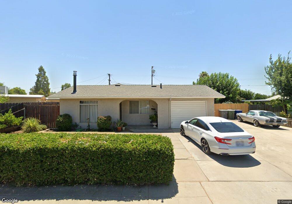
960 Brookside Dr Clovis, CA 93612
Estimated Value: $314,000 - $342,118
4
Beds
2
Baths
1,260
Sq Ft
$263/Sq Ft
Est. Value
About This Home
This home is located at 960 Brookside Dr, Clovis, CA 93612 and is currently estimated at $331,706, approximately $263 per square foot. 960 Brookside Dr is a home located in Fresno County with nearby schools including Clovis Elementary School, Clark Intermediate School, and Clovis High School.
Ownership History
Date
Name
Owned For
Owner Type
Purchase Details
Closed on
Jun 10, 2011
Sold by
Banuelos Ofelia and Banuelos Luis
Bought by
Banuelos Ofelia
Current Estimated Value
Home Financials for this Owner
Home Financials are based on the most recent Mortgage that was taken out on this home.
Original Mortgage
$98,727
Interest Rate
4.43%
Mortgage Type
FHA
Purchase Details
Closed on
Oct 22, 2006
Sold by
Banuelos Ofelia
Bought by
Banuelos Ofelia and Banuelos Luis
Purchase Details
Closed on
Jul 2, 2004
Sold by
Banuelos Luis Antonio
Bought by
Banuelos Ofelia
Home Financials for this Owner
Home Financials are based on the most recent Mortgage that was taken out on this home.
Original Mortgage
$78,000
Interest Rate
7.99%
Mortgage Type
Purchase Money Mortgage
Create a Home Valuation Report for This Property
The Home Valuation Report is an in-depth analysis detailing your home's value as well as a comparison with similar homes in the area
Home Values in the Area
Average Home Value in this Area
Purchase History
| Date | Buyer | Sale Price | Title Company |
|---|---|---|---|
| Banuelos Ofelia | -- | Ortc | |
| Banuelos Ofelia | -- | None Available | |
| Banuelos Ofelia | -- | Fidelity National Title Co |
Source: Public Records
Mortgage History
| Date | Status | Borrower | Loan Amount |
|---|---|---|---|
| Closed | Banuelos Ofelia | $98,727 | |
| Closed | Banuelos Ofelia | $78,000 |
Source: Public Records
Tax History
| Year | Tax Paid | Tax Assessment Tax Assessment Total Assessment is a certain percentage of the fair market value that is determined by local assessors to be the total taxable value of land and additions on the property. | Land | Improvement |
|---|---|---|---|---|
| 2025 | $1,427 | $126,039 | $36,054 | $89,985 |
| 2023 | $1,371 | $121,147 | $34,655 | $86,492 |
| 2022 | $1,351 | $118,773 | $33,976 | $84,797 |
| 2021 | $1,312 | $116,445 | $33,310 | $83,135 |
| 2020 | $1,307 | $115,252 | $32,969 | $82,283 |
| 2019 | $1,280 | $112,993 | $32,323 | $80,670 |
| 2018 | $1,251 | $110,779 | $31,690 | $79,089 |
| 2017 | $1,228 | $108,608 | $31,069 | $77,539 |
| 2016 | $1,186 | $106,479 | $30,460 | $76,019 |
| 2015 | $1,167 | $104,881 | $30,003 | $74,878 |
| 2014 | $1,144 | $102,828 | $29,416 | $73,412 |
Source: Public Records
Map
Nearby Homes
- 1228 Jefferson Ave
- 760 Sunnyside Ave
- 1272 Bullard Ave
- 1428 Miami Ave
- 142 9th St
- 134 10th St
- 103 Poppy Ln
- 1498 Escalon Ave
- 1606 Barstow Ave
- 1622 Dennis Ave
- 1515 Keats Ave
- 1273 Bundy Ave
- 51 San Jose Ave
- 860 Mcarthur Ave
- 1334 Shirley Ave
- 1721 Beverly Ave
- 1234 No Address Available
- 216 Keats Ave
- 69 W Beverly Ave Unit 101
- 1465 Mayflower Way
- 950 Brookside Dr
- 848 Brookfield Dr
- 961 Estabrook Dr
- 858 Brookfield Dr
- 951 Estabrook Dr
- 940 Brookside Dr
- 868 Brookfield Dr
- 963 Brookside Dr
- 955 Brookside Dr
- 939 Estabrook Dr
- 1009 Brookside Dr
- 945 Brookside Dr
- 1019 Brookside Dr
- 930 Brookside Dr
- 935 Brookside Dr
- 903 Rosebrook Dr
- 931 Estabrook Dr
- 902 Brookfield Dr
- 1029 Brookside Dr
- 857 Brookfield Dr
Your Personal Tour Guide
Ask me questions while you tour the home.