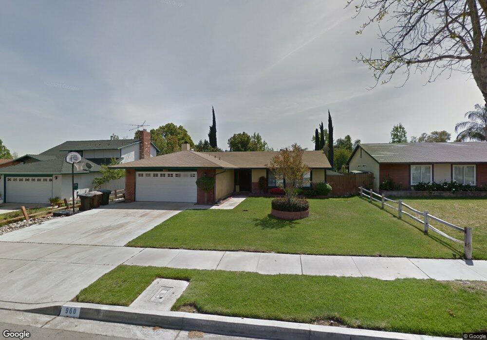
960 Carolyn Ct Colton, CA 92324
Estimated Value: $501,000 - $590,000
3
Beds
2
Baths
1,263
Sq Ft
$434/Sq Ft
Est. Value
About This Home
This home is located at 960 Carolyn Ct, Colton, CA 92324 and is currently estimated at $547,653, approximately $433 per square foot. 960 Carolyn Ct is a home located in San Bernardino County with nearby schools including Paul Rogers Elementary School, Colton Middle School, and Colton High School.
Ownership History
Date
Name
Owned For
Owner Type
Purchase Details
Closed on
Jul 21, 2017
Sold by
Andrade Michael and Andrade Mike
Bought by
Andrade Michael and Andrade Adriana
Current Estimated Value
Home Financials for this Owner
Home Financials are based on the most recent Mortgage that was taken out on this home.
Original Mortgage
$217,500
Outstanding Balance
$148,471
Interest Rate
3.91%
Mortgage Type
New Conventional
Estimated Equity
$399,182
Purchase Details
Closed on
Oct 31, 2011
Sold by
Andrade Adriana
Bought by
Andrade Michael
Home Financials for this Owner
Home Financials are based on the most recent Mortgage that was taken out on this home.
Original Mortgage
$146,187
Interest Rate
4.25%
Mortgage Type
FHA
Purchase Details
Closed on
Oct 25, 2011
Sold by
Marxer Robert J and Marxer Debra G
Bought by
Andrade Mike
Home Financials for this Owner
Home Financials are based on the most recent Mortgage that was taken out on this home.
Original Mortgage
$146,187
Interest Rate
4.25%
Mortgage Type
FHA
Create a Home Valuation Report for This Property
The Home Valuation Report is an in-depth analysis detailing your home's value as well as a comparison with similar homes in the area
Home Values in the Area
Average Home Value in this Area
Purchase History
| Date | Buyer | Sale Price | Title Company |
|---|---|---|---|
| Andrade Michael | -- | Wfg Title Company Of Ca | |
| Andrade Michael | -- | Landwood Title | |
| Andrade Mike | $150,000 | Landwood Title |
Source: Public Records
Mortgage History
| Date | Status | Borrower | Loan Amount |
|---|---|---|---|
| Open | Andrade Michael | $217,500 | |
| Closed | Andrade Mike | $146,187 |
Source: Public Records
Tax History Compared to Growth
Tax History
| Year | Tax Paid | Tax Assessment Tax Assessment Total Assessment is a certain percentage of the fair market value that is determined by local assessors to be the total taxable value of land and additions on the property. | Land | Improvement |
|---|---|---|---|---|
| 2025 | $2,230 | $188,392 | $56,516 | $131,876 |
| 2024 | $2,230 | $184,698 | $55,408 | $129,290 |
| 2023 | $2,234 | $181,077 | $54,322 | $126,755 |
| 2022 | $2,202 | $177,527 | $53,257 | $124,270 |
| 2021 | $2,243 | $174,046 | $52,213 | $121,833 |
| 2020 | $2,252 | $172,262 | $51,678 | $120,584 |
| 2019 | $2,191 | $168,885 | $50,665 | $118,220 |
| 2018 | $2,155 | $165,574 | $49,672 | $115,902 |
| 2017 | $2,080 | $162,327 | $48,698 | $113,629 |
| 2016 | $2,129 | $159,144 | $47,743 | $111,401 |
| 2015 | $2,062 | $156,754 | $47,026 | $109,728 |
| 2014 | $1,992 | $153,684 | $46,105 | $107,579 |
Source: Public Records
Map
Nearby Homes
- 1012 Long Beach Dr
- 1063 W Long Beach Dr
- 813 Johnston St
- 1844 Alston Ave
- 2250 W Mill St Unit 53
- 2250 W Mill St Unit 5
- 2250 W Mill #70 St
- 1705 Jeryl Ave
- 640 San Carlo Ave
- 834 S Lassen Ave
- 1065 Stevenson St Unit A & B
- 1813 Michigan St
- 1003 Stevenson St
- 660 Avenida Capistrano
- 583 Gray St
- 2685 Los Robles Ave
- 548 Julie St
- 494 S Macy St Unit 116
- 494 S Macy St Unit 84
- 1156 N Rancho Ave