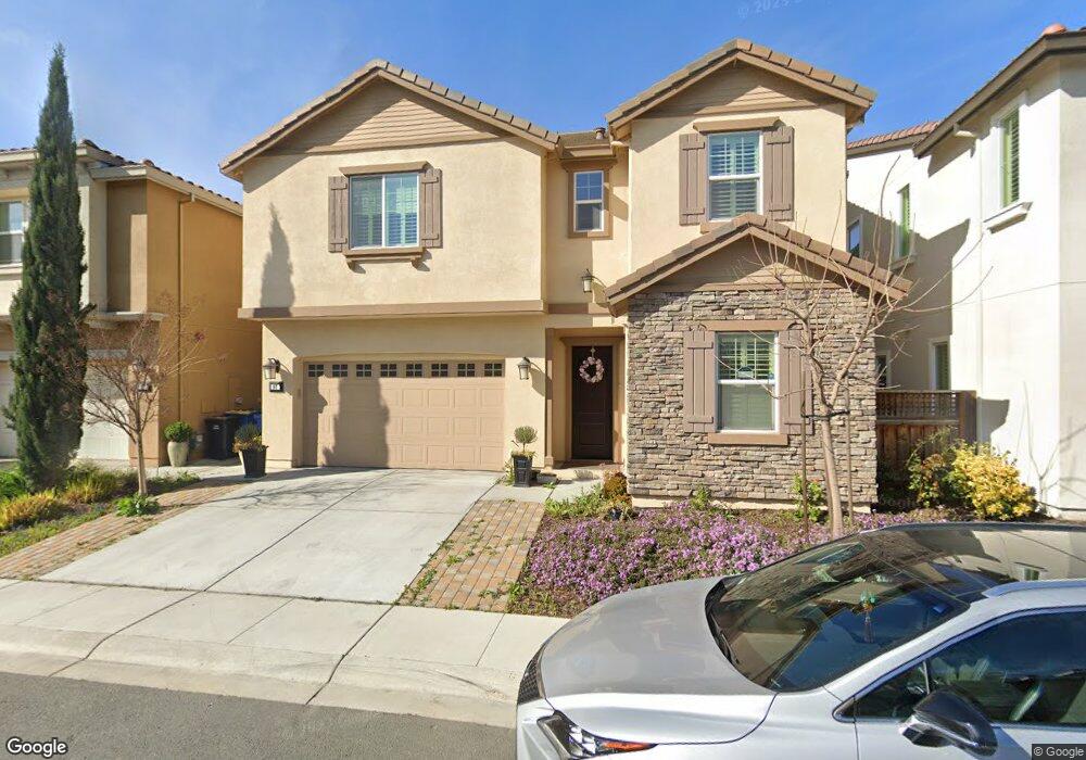
97 Calypso Ln Milpitas, CA 95035
Estimated Value: $2,117,497 - $2,393,000
5
Beds
3
Baths
2,636
Sq Ft
$842/Sq Ft
Est. Value
About This Home
This home is located at 97 Calypso Ln, Milpitas, CA 95035 and is currently estimated at $2,219,124, approximately $841 per square foot. 97 Calypso Ln is a home with nearby schools including Robert Randall Elementary School, Alexander Rose Elementary School, and Rancho Milpitas Middle School.
Ownership History
Date
Name
Owned For
Owner Type
Purchase Details
Closed on
Jun 5, 2014
Sold by
D R Horton Bay Inc
Bought by
Chau Rasmei Third and Le Thuy Thu
Current Estimated Value
Home Financials for this Owner
Home Financials are based on the most recent Mortgage that was taken out on this home.
Original Mortgage
$896,488
Outstanding Balance
$670,437
Interest Rate
4.07%
Mortgage Type
New Conventional
Estimated Equity
$1,548,687
Create a Home Valuation Report for This Property
The Home Valuation Report is an in-depth analysis detailing your home's value as well as a comparison with similar homes in the area
Home Values in the Area
Average Home Value in this Area
Purchase History
| Date | Buyer | Sale Price | Title Company |
|---|---|---|---|
| Chau Rasmei Third | $1,121,000 | First American Title Company |
Source: Public Records
Mortgage History
| Date | Status | Borrower | Loan Amount |
|---|---|---|---|
| Open | Chau Rasmei Third | $896,488 |
Source: Public Records
Tax History
| Year | Tax Paid | Tax Assessment Tax Assessment Total Assessment is a certain percentage of the fair market value that is determined by local assessors to be the total taxable value of land and additions on the property. | Land | Improvement |
|---|---|---|---|---|
| 2025 | $16,209 | $1,346,794 | $829,271 | $517,523 |
| 2024 | $15,821 | $1,320,387 | $813,011 | $507,376 |
| 2023 | $15,760 | $1,294,498 | $797,070 | $497,428 |
| 2022 | $15,668 | $1,269,117 | $781,442 | $487,675 |
| 2021 | $15,422 | $1,244,233 | $766,120 | $478,113 |
| 2020 | $15,151 | $1,231,476 | $758,265 | $473,211 |
| 2019 | $14,968 | $1,207,331 | $743,398 | $463,933 |
| 2018 | $14,214 | $1,183,659 | $728,822 | $454,837 |
| 2017 | $14,020 | $1,160,451 | $714,532 | $445,919 |
| 2016 | $13,458 | $1,137,698 | $700,522 | $437,176 |
| 2015 | $13,313 | $1,120,610 | $690,000 | $430,610 |
| 2014 | $5,517 | $475,500 | $475,500 | $0 |
Source: Public Records
Map
Nearby Homes
- 137 Caladenia Ln
- 0 Railroad Ave
- 50 Serra Way
- 7280 Marylinn Dr
- 660 S Main St
- 646 S Main St
- 102 Marylinn Dr
- 170 Marylinn Dr
- 678 S Main St
- 690 Claridad Loop Unit 11E
- 45 Parc Place Dr Unit RU2808
- 353 San Miguel Ct Unit 2
- 839 Harmony Place Unit 126
- 808 Cameron Cir
- 295 Rio Verde Place Unit 4
- 845 Fire Walk Unit 368
- 800 S Abel St Unit 100
- 917 Vida Larga Loop
- 59 Wind Song
- 39 Cloud Walk Unit 328
Your Personal Tour Guide
Ask me questions while you tour the home.