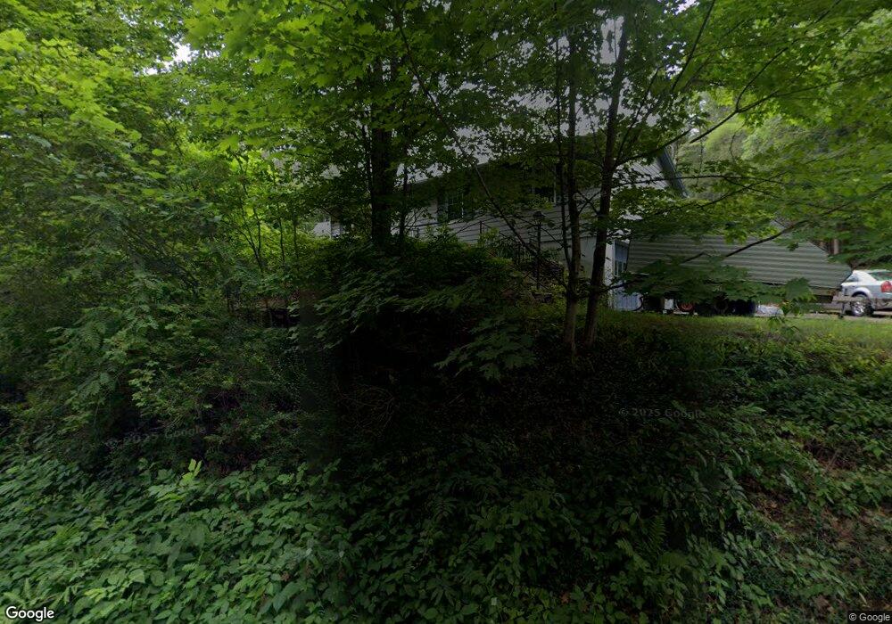
97 High St Erving, MA 01344
Estimated Value: $249,000 - $321,000
About This Home
This home is located at 97 High St, Erving, MA 01344 and is currently estimated at $295,641, approximately $241 per square foot. 97 High St is a home located in Franklin County with nearby schools including Erving Elementary School and Kemsley Academy.
Ownership History
We collect this data history from publicly available records. To have your information removed, we recommend requesting removal directly through your county’s website.
Purchase Details
Purchase Details
Purchase Details
Home Values in the Area
Average Home Value in this Area
Purchase History
We collect this data history from publicly available records. To have your information removed, we recommend requesting removal directly through your county’s website.
| Date | Buyer | Sale Price | Title Company |
|---|---|---|---|
| -- | -- | ||
| -- | -- | ||
| -- | -- |
Tax History
We collect this data history from publicly available records. To have your information removed, we recommend requesting removal directly through your county’s website.
| Year | Tax Paid | Tax Assessment Tax Assessment Total Assessment is a certain percentage of the fair market value that is determined by local assessors to be the total taxable value of land and additions on the property. | Land | Improvement |
|---|---|---|---|---|
| 2025 | $2,171 | $233,200 | $84,300 | $148,900 |
| 2024 | $1,982 | $215,000 | $84,300 | $130,700 |
| 2023 | $1,685 | $210,600 | $84,300 | $126,300 |
| 2022 | $1,631 | $206,400 | $84,300 | $122,100 |
| 2021 | $1,377 | $181,400 | $84,300 | $97,100 |
| 2020 | $1,153 | $152,900 | $55,800 | $97,100 |
| 2019 | $1,129 | $153,600 | $55,800 | $97,800 |
| 2018 | $1,154 | $161,400 | $55,800 | $105,600 |
| 2017 | $1,123 | $161,400 | $55,800 | $105,600 |
| 2016 | $1,091 | $161,400 | $55,800 | $105,600 |
| 2015 | $1,476 | $171,200 | $57,700 | $113,500 |
Map
- 0 State Rd Lot 0
- 5 W Main St
- 221 North St
- 0 State Rd
- 1 Elm St
- 270 Wendell Depot Rd
- 264 Wendell Depot Rd
- 891 Wendell Rd
- 851 Wendell Rd
- 609 Gulf Rd
- 240 Farley Rd
- 165 Hockanum Rd
- 0 Wendell Depot Rd
- 0 Four Mile Brook Rd Unit 73462497
- 459 Millers Falls Rd
- 30 Stone Valley Rd
- 630 Orange Rd
- 166-168 W Main St
- 244 Holtshire Rd Unit Lot 4
- 246 Holtshire Rd Unit Lot 3
Ask me questions while you tour the home.