Estimated Value: $218,000 - $366,000
Studio
2
Baths
1,456
Sq Ft
$214/Sq Ft
Est. Value
About This Home
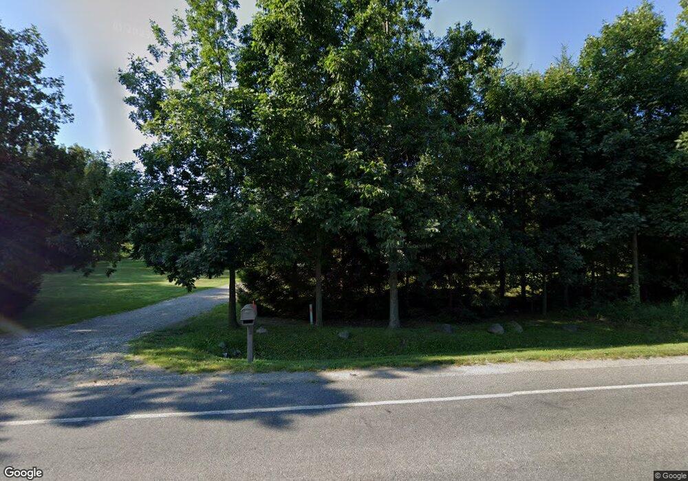
This home is located at 972 E Tuttle Rd, Ionia, MI 48846 and is currently estimated at $311,000, approximately $213 per square foot. 972 E Tuttle Rd is a home located in Ionia County with nearby schools including Ionia High School and Saints Peter and Paul Catholic School.
Ownership History
Date
Name
Owned For
Owner Type
Purchase Details
Closed on
Jun 19, 2014
Sold by
Federal Home Loan Mortgage Corporation
Bought by
Platte Terry and Platte Bobbi Jo
Current Estimated Value
Home Financials for this Owner
Home Financials are based on the most recent Mortgage that was taken out on this home.
Original Mortgage
$111,130
Outstanding Balance
$34,601
Interest Rate
4.18%
Mortgage Type
New Conventional
Estimated Equity
$276,399
Purchase Details
Closed on
Jun 20, 2013
Sold by
Forton Dale A and Forton Nancy L
Bought by
Federal Home Loan Mortgage Corporation
Purchase Details
Closed on
May 19, 2011
Sold by
Forton Nancy L
Bought by
Forton Dale A
Purchase Details
Closed on
Jan 6, 2011
Sold by
Vanvleck Gary
Bought by
Federal Home Loan Mortgage Corporation
Create a Home Valuation Report for This Property
The Home Valuation Report is an in-depth analysis detailing your home's value as well as a comparison with similar homes in the area
Home Values in the Area
Average Home Value in this Area
Purchase History
| Date | Buyer | Sale Price | Title Company |
|---|---|---|---|
| Platte Terry | $138,913 | E Title | |
| Federal Home Loan Mortgage Corporation | $115,000 | None Available | |
| Forton Dale A | -- | -- | |
| Federal Home Loan Mortgage Corporation | $155,765 | -- |
Source: Public Records
Mortgage History
| Date | Status | Borrower | Loan Amount |
|---|---|---|---|
| Open | Platte Terry | $111,130 |
Source: Public Records
Tax History
| Year | Tax Paid | Tax Assessment Tax Assessment Total Assessment is a certain percentage of the fair market value that is determined by local assessors to be the total taxable value of land and additions on the property. | Land | Improvement |
|---|---|---|---|---|
| 2025 | $3,533 | $142,300 | $34,400 | $107,900 |
| 2024 | $12 | $142,300 | $34,400 | $107,900 |
| 2023 | $1,165 | $123,000 | $29,000 | $94,000 |
| 2022 | $1,076 | $123,000 | $29,000 | $94,000 |
| 2021 | $1,076 | $112,100 | $25,100 | $87,000 |
| 2020 | $1,065 | $112,100 | $25,100 | $87,000 |
| 2019 | $0 | $111,900 | $22,800 | $89,100 |
| 2018 | $2,975 | $95,500 | $22,800 | $72,700 |
| 2017 | $1,000 | $95,500 | $22,800 | $72,700 |
| 2016 | $991 | $92,000 | $20,400 | $71,600 |
| 2015 | -- | $92,000 | $20,400 | $71,600 |
| 2014 | -- | $84,400 | $20,400 | $64,000 |
Source: Public Records
Map
Nearby Homes
- 360 E Tuttle Rd Unit 6
- 360 E Tuttle Rd Unit 183
- 360 E Tuttle Rd Unit 217
- 0 Reimer Dr
- 1978 Aspen Valley Ln
- 1976 Aspen Valley Ln
- 0 Vl Parcel 5 1581 Kelsey Hwy Unit 25004822
- 0 Vl Parcel 4 & 5 1581 Kelsey Hwy Unit 25058302
- 0 Parcel 2 1581 Kelsey Hwy Unit 25004814
- 0 Parcel 1 1581 Kelsey Hwy Unit 25004551
- 0 Parcel 4 1581 Kelsey Hwy Unit 25004743
- 3615 S State Rd
- 1686 Herrity Ln
- LOT 65 Hosford Dr
- 0 Parcel 11 Kingston Rd
- 0 Parcel 9 Kingston Rd
- 0 Parcel 13 Kingston Rd
- 0 Parcel 10 Kingston Rd
- 0 Parcel 12 Kingston Rd
- 0 Parcel 6 Kingston Rd
Your Personal Tour Guide
Ask me questions while you tour the home.