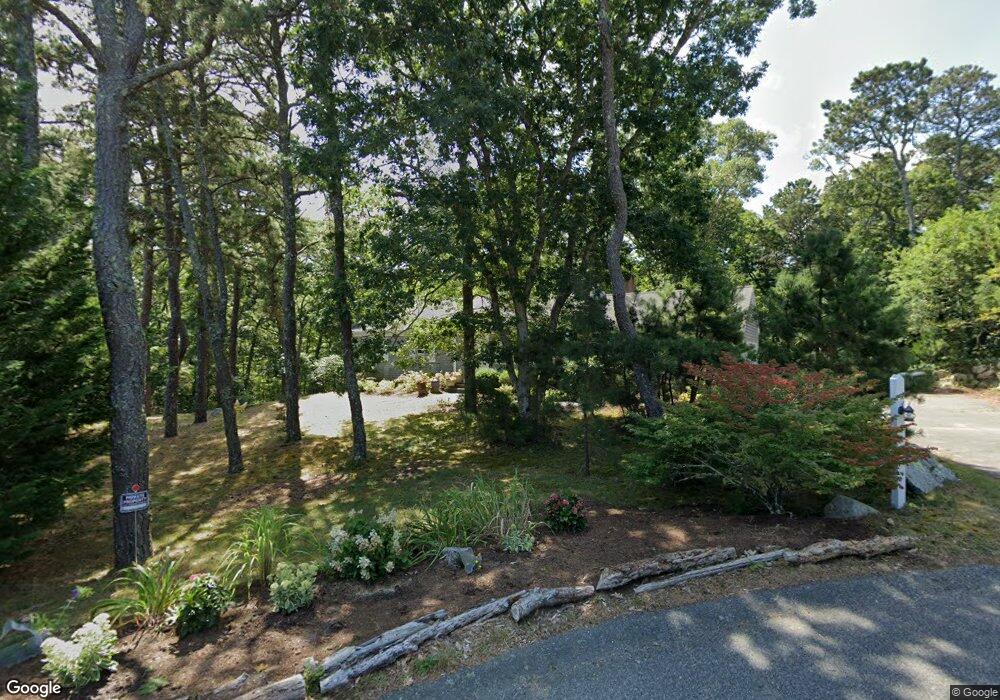
98 Maple Ln Brewster, MA 02631
Estimated Value: $787,096 - $870,000
3
Beds
2
Baths
1,500
Sq Ft
$562/Sq Ft
Est. Value
About This Home
This home is located at 98 Maple Ln, Brewster, MA 02631 and is currently estimated at $842,774, approximately $561 per square foot. 98 Maple Ln is a home located in Barnstable County with nearby schools including Stony Brook Elementary School, Eddy Elementary School, and Nauset Regional Middle School.
Ownership History
Date
Name
Owned For
Owner Type
Purchase Details
Closed on
Mar 31, 2005
Sold by
Rice Curtis B and Rice Margo
Bought by
Peterson Glen A and Peterson Patricia M
Current Estimated Value
Home Financials for this Owner
Home Financials are based on the most recent Mortgage that was taken out on this home.
Original Mortgage
$225,000
Outstanding Balance
$114,825
Interest Rate
5.61%
Mortgage Type
Purchase Money Mortgage
Estimated Equity
$727,949
Purchase Details
Closed on
Aug 1, 1991
Sold by
Lescoe Daniel J and Lescoe Maureen
Bought by
Conover Maxwells and Conover Lois G
Create a Home Valuation Report for This Property
The Home Valuation Report is an in-depth analysis detailing your home's value as well as a comparison with similar homes in the area
Home Values in the Area
Average Home Value in this Area
Purchase History
| Date | Buyer | Sale Price | Title Company |
|---|---|---|---|
| Peterson Glen A | $470,000 | -- | |
| Conover Maxwells | $170,000 | -- |
Source: Public Records
Mortgage History
| Date | Status | Borrower | Loan Amount |
|---|---|---|---|
| Closed | Conover Maxwells | $140,500 | |
| Open | Peterson Glen A | $225,000 | |
| Previous Owner | Conover Maxwells | $200,000 |
Source: Public Records
Tax History
| Year | Tax Paid | Tax Assessment Tax Assessment Total Assessment is a certain percentage of the fair market value that is determined by local assessors to be the total taxable value of land and additions on the property. | Land | Improvement |
|---|---|---|---|---|
| 2025 | $5,230 | $760,200 | $404,100 | $356,100 |
| 2024 | $4,919 | $722,300 | $381,300 | $341,000 |
| 2023 | $4,511 | $645,300 | $340,300 | $305,000 |
| 2022 | $4,255 | $542,100 | $283,500 | $258,600 |
| 2021 | $3,828 | $446,100 | $220,500 | $225,600 |
| 2020 | $3,750 | $435,000 | $220,500 | $214,500 |
| 2019 | $5,770 | $419,000 | $212,100 | $206,900 |
| 2018 | $3,417 | $413,700 | $212,100 | $201,600 |
| 2017 | $3,251 | $387,500 | $212,100 | $175,400 |
| 2016 | $3,224 | $382,400 | $208,000 | $174,400 |
| 2015 | $3,091 | $374,200 | $203,900 | $170,300 |
Source: Public Records
Map
Nearby Homes
- 67 Bakers Pond Rd
- 34 Sky Meadow Dr
- 31 Chase Ln
- 42 Partridge Cir
- 190 Rt 6a Unit 9B
- 0 Partridge
- 18 West Rd Unit 307
- 18 West Rd Unit 315
- 18 West Rd Unit 202
- 12 Phoebes Close
- 54 Old Colony Way Unit G
- 54 Old Colony Way Unit G
- 17 Kings Way
- 42 Old Colony Way Unit 15
- 42 Old Colony Way Unit 29
- 42 Old Colony Way Unit 30
- 9 Honeysuckle Ln
- 398 Lund Farm Way
- 36 Old Colony Way Unit 21
- 36 Old Colony Way Unit 3022
Your Personal Tour Guide
Ask me questions while you tour the home.