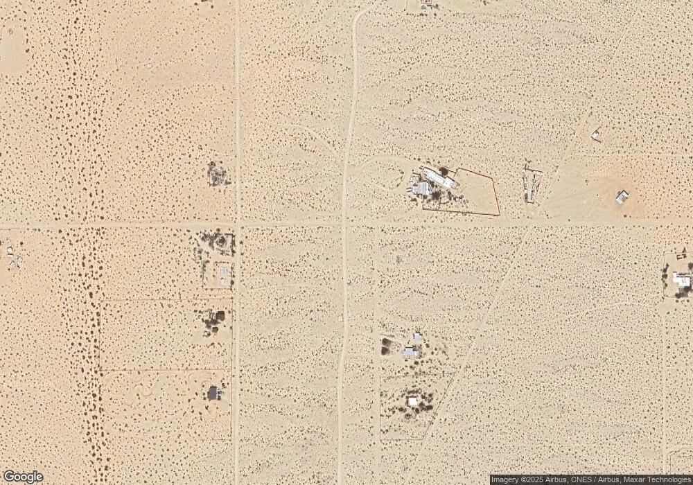
987 Canyon Rd Twentynine Palms, CA 92277
Estimated Value: $490,670 - $573,000
3
Beds
1
Bath
1,468
Sq Ft
$361/Sq Ft
Est. Value
About This Home
This home is located at 987 Canyon Rd, Twentynine Palms, CA 92277 and is currently estimated at $530,168, approximately $361 per square foot. 987 Canyon Rd is a home located in San Bernardino County with nearby schools including Twentynine Palms Elementary School, Twentynine Palms Junior High School, and Twentynine Palms High School.
Ownership History
Date
Name
Owned For
Owner Type
Purchase Details
Closed on
Jul 7, 2006
Sold by
Wilkerson Michael R and Wilkerson Dianne C
Bought by
Wilkerson Michael R and Wilkerson Dianne C
Current Estimated Value
Purchase Details
Closed on
May 16, 2006
Sold by
Valenti Robert J and Maybury Valenti Karen A
Bought by
Wilkerson Michael R and Wilkerson Dianne C
Purchase Details
Closed on
Aug 26, 1999
Sold by
Sadler Thomas C
Bought by
Valenti Robert J and Maybury Valenti Karen A
Home Financials for this Owner
Home Financials are based on the most recent Mortgage that was taken out on this home.
Original Mortgage
$116,750
Interest Rate
8.09%
Create a Home Valuation Report for This Property
The Home Valuation Report is an in-depth analysis detailing your home's value as well as a comparison with similar homes in the area
Home Values in the Area
Average Home Value in this Area
Purchase History
| Date | Buyer | Sale Price | Title Company |
|---|---|---|---|
| Wilkerson Michael R | -- | None Available | |
| Wilkerson Michael R | $365,000 | Commonwealth Title | |
| Valenti Robert J | $134,000 | First American Title Ins Co |
Source: Public Records
Mortgage History
| Date | Status | Borrower | Loan Amount |
|---|---|---|---|
| Previous Owner | Valenti Robert J | $116,750 |
Source: Public Records
Tax History Compared to Growth
Tax History
| Year | Tax Paid | Tax Assessment Tax Assessment Total Assessment is a certain percentage of the fair market value that is determined by local assessors to be the total taxable value of land and additions on the property. | Land | Improvement |
|---|---|---|---|---|
| 2025 | $5,349 | $491,972 | $99,761 | $392,211 |
| 2024 | $5,349 | $482,326 | $97,805 | $384,521 |
| 2023 | $5,287 | $472,868 | $95,887 | $376,981 |
| 2022 | $4,651 | $413,000 | $83,000 | $330,000 |
| 2021 | $3,878 | $338,000 | $68,000 | $270,000 |
| 2020 | $3,857 | $325,500 | $64,900 | $260,600 |
| 2019 | $3,728 | $316,000 | $63,000 | $253,000 |
| 2018 | $3,491 | $313,600 | $62,600 | $251,000 |
| 2017 | $3,256 | $291,700 | $58,200 | $233,500 |
| 2016 | $3,102 | $277,800 | $55,400 | $222,400 |
| 2015 | $3,052 | $271,000 | $54,000 | $217,000 |
| 2014 | $2,722 | $240,400 | $48,500 | $191,900 |
Source: Public Records
Map
Nearby Homes
- 70373 Orion St
- 724 Bluegrass Ave
- 0 Barbara Ln
- 380 Mack Ln
- 290 Bluegrass Ave
- 1020 Shoshone Valley Rd
- 70125 Rainbow Rd
- 0 Bluegrass Ave Unit 219107463PS
- 69886 Warren Ln
- 0 El Bandido Way Unit EV22020127
- 72670 Pole Line Rd
- 68200 Pole Line Rd
- 69626 Brant Cross Rd
- 0 Mac Rae Rd
- 660 W Highnoon
- 71522 Winters Rd
- 875 Lear Ave
- 72082 Winters Rd
- 800 Brant Cross Rd
- 00 Kelsey Rd
